Click to visit the main New York Public Library Homepage
The New York Public Library
Digital Collections
About Digital Collections
Browse
Search only public domain materials
Items
Collections
Divisions
Home
Search
Browse
About
Search only public domain materials
Items
Collections
Divisions
Digital Collections
Using Images
Using Data
Search
Filtered search
Show filters
Hide filters
Show Only Public Domain
topic
Maps in education
3
Atlases, British
1
Geography
1
World maps
1
name
Brion de la Tour, Louis, 1743-1803
2
Desnos, Louis-Charles, 1725-1805
2
Brion de la Tour, Louis, d. 1823
1
Chirikov, Alekseĭ Ilʹich, 1703-1748
1
Dunn, Samuel, d. 1794
1
More
Less
collection
Lawrence H. Slaughter Collection of English maps, charts, globes, books and atlases
3
Atlases, gazetteers, guidebooks and other books
1
place
x
France
Western Hemisphere
2
America
1
Caribbean Area
1
Eastern Hemisphere
1
genre
Maps
4
publisher
Chez Desnos, ingr. geographe ..
2
Printed for Robert Sayer, No. 53, Fleet-Street
1
Chés le S. Desnos, ingr. géog. pour les globes et sphères, rue S. Jacques au globe, A.P.D.R
1
division
x
Map Division
type
cartographic
4
Date Range
to
4 results found
Filtering on:
x
Date
: 1783 - 1786
x
Division
: Map Division
x
Place
: France
Sort by:
Title
Date created
Date digitized
Sequence
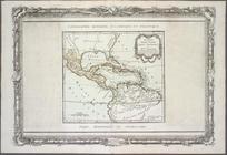
Guyane, Terra ferme, Isles an…
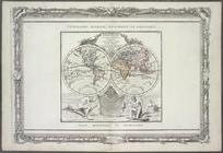
Mappe-monde : dressee pour l'…
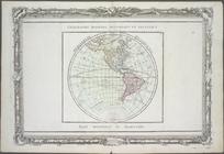
Hémisphère occidental.
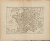
France, divided into military…