Click to visit the main New York Public Library Homepage
The New York Public Library
Digital Collections
About Digital Collections
Browse
Search only public domain materials
Items
Collections
Divisions
Home
Search
Browse
About
Search only public domain materials
Items
Collections
Divisions
Digital Collections
Using Images
Using Data
Search
Filtered search
Show filters
Hide filters
Show Only Public Domain
topic
Atlases, British
67
Geography
67
Cosmography
34
History
9
Maps in education
3
More
Less
name
Sayer, Robert, 1725-1794
69
Dunn, Samuel, d. 1794
67
Faden, William, 1749-1836
7
Homann Erben (Firm)
4
Homann, Johann Baptist, 1663-1724
4
More
Less
collection
Atlases, gazetteers, guidebooks and other books
71
Lawrence H. Slaughter Collection of English maps, charts, globes, books and atlases
22
Maps of North America
21
John H. Levine Collection
4
Maps of New York City and State
1
More
Less
place
United States
19
North America
14
Early works to 1800
11
Maps
11
Virginia
7
More
Less
genre
Maps
89
preliminaries
24
Charts
4
Atlases
2
Prints
2
More
Less
publisher
Printed for Robert Sayer, No. 53, Fleet-Street
67
publisher not identified
5
Buisson,
3
s.n
3
... Mathew Albert and George Frederick Lotter
2
More
Less
division
x
Map Division
type
cartographic
89
text
33
still image
5
Date Range
to
121 results found
Filtering on:
x
Date
: 1784 - 1788
x
Division
: Map Division
Sort by:
Title
Date created
Date digitized
Sequence
Amerika ĕst nor Ashkharhagrak…
Attack of the rebels upon For…
Plan of the siege of Charlest…
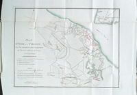
Plan of the remains of some a…
A map of the country between …
Plan of the siege of York Tow…
South-Carolina and parts adja…
Plan of the battle fought nea…
Bowles's new pocket map of th…
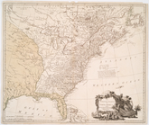
The United States of North Am…
A chart of New York Harbour :…
The marches of Lord Cornwalli…
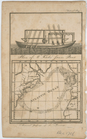
Annual passage of the herring…
A chart of Delaware Bay and R…
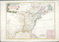
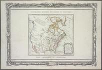
A new and correct map of Nort…
Die vereinigten Staaten von N…
A map of the country between …
Carte réduite du Nord des Eta…
Carte réduite du Sud des État…
Carte d'une partie de l'Améri…
Côte de York-town à Boston : …
Plan d'York en Virginie, avec…
Ètats-Unis de l'Amérique sept…
Guyane, Terra ferme, Isles an…
Mappe-monde : dressee pour l'…
L'Amérique : dressée pour l'é…
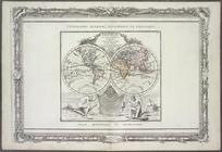
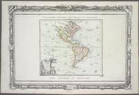
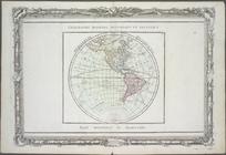
Hémisphère occidental.
A new and correct map of Nort…
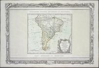
Chili, Paraguay, Bresil, Amaz…
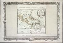
Nouveau Mexique, Louisiane, C…
A chart of the bar of Sandy H…
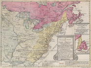
The United States according t…
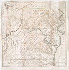
A plan of part of the provin…
Regni Mexicani seu Novae Hisp…
A map of the United States of…
New & accurate map of North A…
Carte générale des Etats Unis…
Carte des Etats-Unis de l'Ame…
America settentrionale divisa…
The United States of America,…
Nouveau Mexique, Louisiane, C…
North America drawn from the …
Messico, ouvero Nuova-Spagna …
Nova Anglia Septentrionali Am…
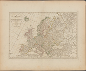
Europe divided into its princ…
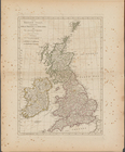
The British Isles, comprehend…
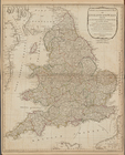
A new and compendious map of …
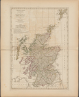
Scotland, and its islands ; o…
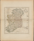
Ireland, divided into its fou…
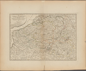
The Catholic Netherlands, or …