Click to visit the main New York Public Library Homepage
The New York Public Library
Digital Collections
About Digital Collections
Browse
Search only public domain materials
Items
Collections
Divisions
Home
Search
Browse
About
Search only public domain materials
Items
Collections
Divisions
Digital Collections
Using Images
Using Data
Search
Filtered search
Show filters
Hide filters
Show Only Public Domain
collection
x
Bancker plans
genre
Maps
25
Surveys
25
land surveys
23
Documents
12
division
Manuscripts and Archives Division
35
type
cartographic
25
text
12
Date Range
to
35 results found
Filtering on:
x
Date
: 1788 - 1788
x
Collection
: Bancker plans
For more collection details, visit the
Bancker plans collection page
.
Sort by:
Title
Date created
Date digitized
Sequence
m
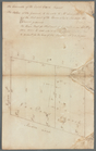
Mr. Brasier's lots south west…
m
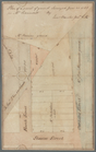
Wall Street
m
Leonard Lispenard's upland an…
m
Part of Kip's Bay, north east
m
House and ground on north sid…
m
North Side of Front and Water…
m
Rutgers, Water and Slote Stre…
m
Water, Front, and Rutgers Str…
m
Pitt Street, Batavia Lane, Ch…
m
Front, Queen, Water, and Dock…
m
Old Slip, Queen, Wall, Water,…
m
Wall, William, Dutch, John, D…
m
A. Hammond's ground
m
Skinner and Queen Street
m
Queen and Skinner Street
m
John Robert Livingston's hous…
m
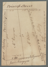
Lots in Princess Street
m
Nassau Street and Maiden Lane
m
Corner of William and Frankfo…
m
John Byvank's water lot on th…
m
Queen Street, number 183
m
Queen Street, number 203
m
Great Dock Street, number 39
m
Brookland
m
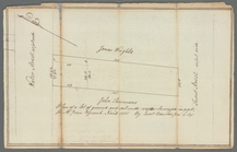
Kip's Bay
m
Valuation of Dutch Church hou…
m
Extracts of Jacobus Kip's wil…
m
Beaver Lane and Greenwich Str…
m
Henry Rutgers's lanes and str…
m
Church lots number 33, 34, an…
m
John Clark's lot north side o…
m
Cherry Street
m
Burling Slip
m
Part of lot 147 sold by the D…
m
Quackenboss to Constable
End of results
|
Top