Click to visit the main New York Public Library Homepage
The New York Public Library
Digital Collections
About Digital Collections
Browse
Search only public domain materials
Items
Collections
Divisions
Home
Search
Browse
About
Search only public domain materials
Items
Collections
Divisions
Digital Collections
Using Images
Using Data
Search
Filtered search
Show filters
Hide filters
Show Only Public Domain
topic
Atlases
58
Historical geography
58
Maps in education
58
Geography
57
Kings
32
More
Less
name
Faden, William, 1749-1836
59
Cary, John, approximately 1754-1835
57
William I, King of England, 1027 or 1028-1087
32
Palmer, W. (William), 1739-1812
30
Hatchett, J. (John)
15
More
Less
collection
Lawrence H. Slaughter Collection of English maps, charts, globes, books and atlases
115
Print Collection portrait file
32
Sidney Lapidus Slavery and Abolition Collection
6
The architect and builder's miscellany or pocket library
6
Caricatures collected by Horace Walpole
3
More
Less
place
x
Great Britain
England
64
Africa
6
North America
4
United States
4
More
Less
genre
Maps
102
Portraits
35
Clippings
32
Prints
15
Drawings
7
More
Less
publisher
Published by Wm. Faden, geographer to His Majesty, and His R.H. the Prince of Wales
58
Printed for John Cary
57
Printed for the author and sold by J. Debrett ... [and 4 others]
6
Printed for C. Cooke
3
C. Cooke
2
More
Less
division
Map Division
117
Wallach Division: Print Collection
36
Schomburg Manuscripts, Archives and Rare Books Division
7
Wallach Division: Art & Architecture Collection
6
Billy Rose Theatre Division
3
More
Less
type
cartographic
98
text
67
still image
53
three dimensional object
1
Date Range
to
174 results found
Filtering on:
x
Date
: 1790 - 1799
x
Place
: Great Britain
Sort by:
Title
Date created
Date digitized
Sequence
m
James Maury letters
m
Anne Wagner album
m
Extracts from the evidence de…
m
An act for better regulating …
The female advocate..., [Titl…
An introduction to botany...,…
m
Atlas minimus universalis... …
Atlas minimus universalis... …
Geographae antique tabula
Modern geography
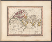
Orbis veteribus notus
Orbis Romani, pars occidental…
Orbis Romani, pars orientalis
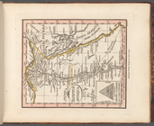
Britanniae facies antiqua
Galliae antiquae conspectus
Hispania Vetus
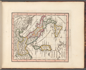
Italiae veteris delineatio
Graeciae antiquae et aegaei m…
Brevis Asiae Minoris descript…
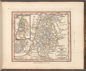
Palaestina quce et Chanaan et…
Aegyptus antiqua
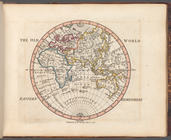
The Old World: Eastern Hemisp…
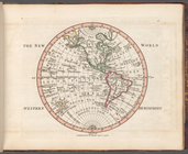
The New World: Western Hemisp…
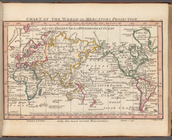
Chart of the world on Mercato…
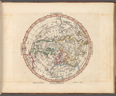
Northern Hemisphere
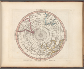
Southern Hemisphere
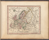
Europe and its general divisi…
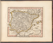
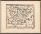
Spain and Portugal
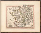
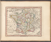
France, divided into military…
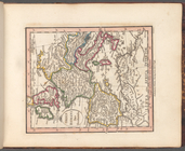
British Isles or Great Britai…
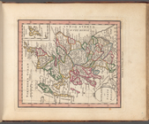
England and Wales or South Br…
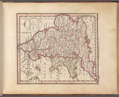
Scotland, or North Britain
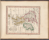
Ireland divided into province…
VII United Provinces, Netherl…
Denmark and Holstein
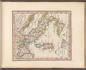
Scandinavia comprehending Swe…
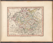
The Germanic States or Empire…
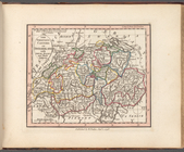
The thirteen cantons of Swiss…
Italy divided into its respec…
States of the King of Sardini…
Turkish dominions in Europe, …
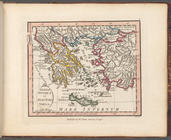
Greece and Archipelago with p…
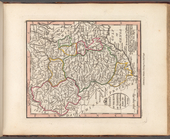
Hungary Gallicia and Transilv…
Poland with its dismemberment…
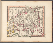
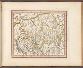
European Russia or Moscovy, o…
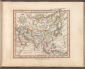
Asia from the latest observat…
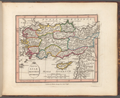
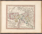
Turkish dominions in Asia or …
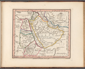
The Gulfs of Arabia and Persi…
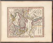
The Kingdom of Persia
The East Indies according to …