Click to visit the main New York Public Library Homepage
The New York Public Library
Digital Collections
About Digital Collections
Browse
Search only public domain materials
Items
Collections
Divisions
Home
Search
Browse
About
Search only public domain materials
Items
Collections
Divisions
Digital Collections
Using Images
Using Data
Search
Filtered search
Show filters
Hide filters
Show Only Public Domain
topic
Real property
1097
Landowners
374
Administrative and political divisions
369
Railroads
266
Nautical charts
256
More
Less
name
Perris, William
308
United States Coast Survey
255
Bache, A. D. (Alexander Dallas), 1806-1867
205
Burr, David H., 1803-1875
195
Beers, F. W. (Frederick W.)
176
More
Less
collection
Maps of North America
1559
Maps of New York City and State
828
Atlases of the United States
703
Atlases of New York City
532
Bancker plans
465
More
Less
place
New York (State)
1423
New York
536
United States
455
New York (N.Y.)
451
Manhattan (New York, N.Y.)
426
More
Less
genre
Maps
5185
Atlases
677
Surveys
475
land surveys
412
Cadastral maps
304
More
Less
publisher
publisher not identified
275
William Perris
142
U.S. Coast Survey
128
Perris & Browne
124
Chapman and Hall
109
More
Less
division
Map Division
4080
Manuscripts and Archives Division
485
General Research Division
216
Rare Book Division
145
George Arents Collection
53
More
Less
type
x
cartographic
text
197
still image
131
Date Range
to
5,297 results found
Filtering on:
x
Date
: 1794 - 1870
x
Type
: cartographic
Sort by:
Title
Date created
Date digitized
Sequence
Results 5001 - 5050
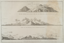
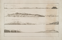
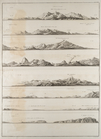
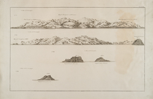
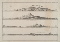
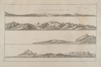
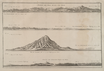
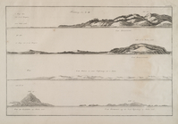
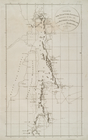
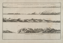
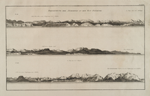
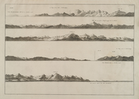
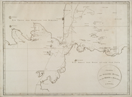
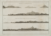
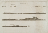
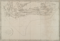
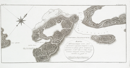
Predstavlenie pikov i mysov
Charte ... Thiels von Iapan u…
Predstavlenie pikov i mysov
Predstavlenie pikov i mysov
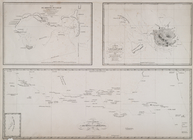
Plan des Hafen Nangasaky
Charte der Iapanischen Inseln
Charte von den nordwestlichen…
Charte der Bay Kiusiu
Charte der Westkûste der Inse…
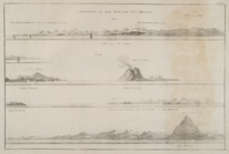
Predstavlenie pikov i mysov
Predstavlenie pikov i mysov
Predstavlenie pikov i mysov
Predstavlenie pikov i mysov
Predstavlenie pikov i mysov
Predstavlenie pikov i mysov
Predstavlenie pikov i mysov
Charte der halb Inseln Sachal…
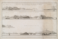
Predstavlenie pikov i mysov
Predstavlenie pikov i mysov
Predstavlenie pikov i mysov
Charte des Strasse, Sunda und…
Predstavlenie pikov i mysov
Predstavlenie pikov i mysov
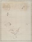
Karta
Plan
Karta predstavliaiushchaia re…
Chast Ledovitago Moria.
Karta Merkatorskaia predstavl…
Karta ot ustia reki Ulkana do…
Merkatorskaia karta Okhotskag…
Plan ustia reki Okhoty I Kukh…
Merkatorskaia karta severovos…
Ploskaia karta predstavliaius…
Plan nakhodiashchagosia v sev…
Plan gavani Trekh Sviatitelei.
Ploskaia karta vkhoda k gavan…
Karta predstavliaiushchaia ch…
Plan Chornovskago zaliva.
Plan zaliva Kul-Liliak.
Ploskaia karta predstavliaius…
Plan du groupe oulleay
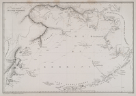
Carte generale de la mer de B…
Mappe-Monde
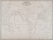
Berezan'. Ostrov Berezan': ob…
Troitskoe ili Koblevka. Mestn…
Odessa i Dofinovka. Plan goro…
Lusdorf. Plan kolonii i eia o…
Dnestr.Plan chasti imeniia gr…
Kartal. Plan drevniago posele…
Khersones. Plan goroda
1
2
…
12
13
14
15
16
17
18
19
20
21
22
Previous
Next
1
2
…
12
13
14
15
16
17
18
19
20
21
22
Previous
Next