Click to visit the main New York Public Library Homepage
The New York Public Library
Digital Collections
About Digital Collections
Browse
Search only public domain materials
Items
Collections
Divisions
Home
Search
Browse
About
Search only public domain materials
Items
Collections
Divisions
Digital Collections
Using Images
Using Data
Search
Filtered search
Show filters
Hide filters
Show Only Public Domain
topic
Astronomy
30
Celestial charts
30
Constellations
30
Stars
30
History
6
More
Less
name
Flamsteed, John, 1646-1719
30
Carey, Mathew, 1760-1839
6
Martin, D
5
Smith, Charles
4
Barker, W. (William), active 1795-1803
3
More
Less
collection
Atlas celeste de Flamsteed, publie en 1776
30
Bancker plans
28
Maps of North America
20
Lawrence H. Slaughter Collection of English maps, charts, globes, books and atlases
15
Maps of New York City and State
9
More
Less
place
New York (State)
9
New York (N.Y.)
8
United States
7
America
4
Maryland
4
More
Less
genre
x
Maps
Surveys
28
land surveys
28
Prints
3
Bird's-eye views
2
More
Less
publisher
Chez Delamarche
30
J. Reid
3
Mathew Carey
3
Printed for C. Smith
3
At the Presses of S. Hall, and Thomas & Andrews, and sold by E. Larkin, and the other booksellers in Boston; by Gaine & Ten Eyck, and S. Campbell, New-York; [etc.,etc.]
2
More
Less
division
Map Division
46
Manuscripts and Archives Division
31
General Research Division
30
Wallach Division: Print Collection
3
Rare Book Division
2
More
Less
type
cartographic
113
text
4
still image
3
Date Range
to
113 results found
Filtering on:
x
Date
: 1795 - 1797
x
Genre
: Maps
Sort by:
Title
Date created
Date digitized
Sequence
m
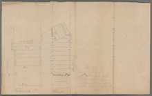
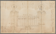
State Prison
A new chart of the Atlantic o…
m
Courses between Ridgener's Me…
m
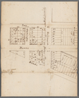
Lots on Bowery Lane
m
Ann White's estate known by t…
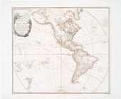
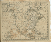
A map of America or the New W…
m
Church lots on the north side…
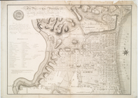
A New & Accurate Plan of the …
A correct map of Connecticut:…
The plan of the city of Phila…
A new and accurate plan of th…
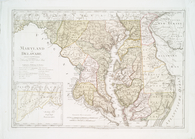
Maryland und Delaware
A new & accurate plan of the …
A new map of North America sh…
Map of the northern part of t…
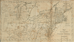
The United States of America
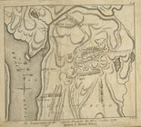
The engagement on the White P…
Plan of the position which th…
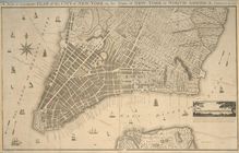
A new & accurate plan of the …
m
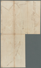
Annos's ground, Greenwich and…
m
Horn's Hook
m
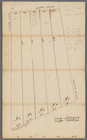
Mathew Buys land in five equa…
m
State Prison lot on Hudson Ri…
m
State Prison
m
Bowery Lane
m
Lots between Delancey and Riv…
m
Abraham Duryee at Horn's Hook
m
Ann and Nassau Streets
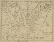
The United States of North Am…
A map of the United States of…
m
New York City directory, 1796
The state of Rhode-Island
m
Plans for a New York State pr…
m
A correct map of the state of…
A map of part of the N. W. Te…
Map of the United States, exh…
The states of Maryland and De…
The State of Virginia from th…
m
The engagement on the White P…
The state of New York, compil…
The State of New Jersey, comp…
The state of New York, compil…
m
Map of the United States : ex…
The State of Pennsylvania fro…
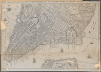
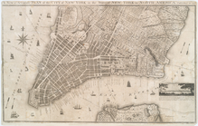
Plan of the city of New York
The Province of Maine, from t…
m
Carte d'une partie de l'Etat …
m
Greenwich Street to Hudson Ri…
m
A plan of Boston: from actual…
m
South Street between White Ha…