Click to visit the main New York Public Library Homepage
The New York Public Library
Digital Collections
About Digital Collections
Browse
Search only public domain materials
Items
Collections
Divisions
Home
Search
Browse
About
Search only public domain materials
Items
Collections
Divisions
Digital Collections
Using Images
Using Data
Search
Filtered search
Show filters
Hide filters
Show Only Public Domain
topic
Real property
87
Landowners
64
Historical geography
56
Atlases
55
Maps
55
More
Less
name
Jomard, M. (Edme-François), 1777-1862
86
Napoleon I, Emperor of the French, 1769-1821
84
Carey, Mathew, 1760-1839
74
De Witt, Simeon, 1756-1834
60
Faden, William, 1749-1836
60
More
Less
collection
Bancker plans
428
Maps of North America
220
Lawrence H. Slaughter Collection of English maps, charts, globes, books and atlases
152
Maps of New York City and State
107
Atlases, gazetteers, guidebooks and other books
87
More
Less
place
New York (State)
160
United States
124
New York (N.Y.)
121
Egypt
100
England
89
More
Less
genre
Maps
1450
Surveys
430
land surveys
364
Prints
123
Documents
69
More
Less
publisher
Impr. impériale
84
M. Carey
59
Published by Wm. Faden, geographer to His Majesty, and His R.H. the Prince of Wales
53
V Morskoi Tipografii
38
publisher not identified
38
More
Less
division
Map Division
714
Manuscripts and Archives Division
440
Rare Book Division
100
General Research Division
87
Wallach Division: Art & Architecture Collection
39
More
Less
type
x
cartographic
text
83
still image
15
Date Range
to
1,476 results found
Filtering on:
x
Date
: 1796 - 1832
x
Type
: cartographic
Sort by:
Title
Date created
Date digitized
Sequence
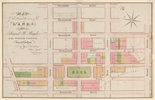
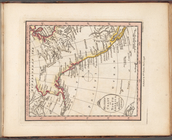
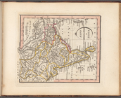
Plan of the town of Paramarib…
Isothermal chart, or, View of…
m
A chart of the discoveries of…
m
A New and Accurate Map of the…
Colony of Liberia, on the Wes…
m
Carte trigonométrique des côt…
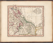
Map of the Lower Division of …
Memo showing plan of new stre…
Map and survey of lands of up…
Great Falls of Columbia River
Plan of the town of York Haven
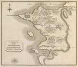
Settlements of the Swiss past…
m
Carte d'une partie de l'Etat …
Map of the American Coast, fr…
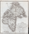
Carte de l'Ancien Continent.
Carte du Nouveau Continent.
[La Carte]
Carte des deux Régions Polair…
Plan of the city and fortific…
East India Islands
Ancient Italy
Countries adjacent to the Med…
m
Nicholas Carmer and Mary Clar…
m
1800 October 29
Environs du Kaire [Cairo]. Pl…
Plano del terreno en que se h…
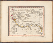
Nea-Polynesia, or the islands…
South America from the latest…
West India Islands
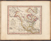
Western Coast of North Americ…
British possessions in North …
North America, including the …
Nigritia and Guinea; with the…
Barbary including Morocco Alg…
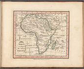
Africa according to the lates…
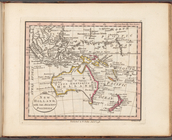
New Holland, with the adjacen…
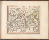
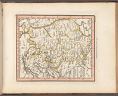
Siberia or Russian Tartary or…
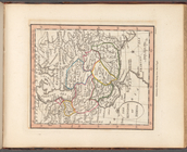
China and Chinese Tartary, wi…
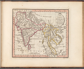
Hind, Hindoostan, or India
The East Indies according to …
The Kingdom of Persia
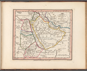
The Gulfs of Arabia and Persi…
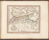
Turkish dominions in Asia or …
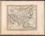
Asia from the latest observat…
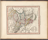
European Russia or Moscovy, o…
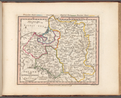
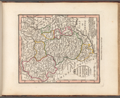
Poland with its dismemberment…
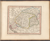
Hungary Gallicia and Transilv…
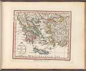
Greece and Archipelago with p…
Turkish dominions in Europe, …
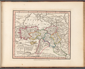
States of the King of Sardini…
1
2
3
4
5
6
Previous
Next
1
2
3
4
5
6
Previous
Next