Click to visit the main New York Public Library Homepage
The New York Public Library
Digital Collections
About Digital Collections
Browse
Search only public domain materials
Items
Collections
Divisions
Home
Search
Browse
About
Search only public domain materials
Items
Collections
Divisions
Digital Collections
Using Images
Using Data
Search
Filtered search
Show filters
Hide filters
Show Only Public Domain
topic
Real property
116
Landowners
77
Administrative and political divisions
73
Canals
33
Railroads
31
More
Less
name
Smith, Robert Pearsall, 1827-1898
20
Miller & Co
16
Pease, Richard H., 1813-1869
15
Burr, David H., 1803-1875
13
Vaughan, David, active 1849-1864
10
More
Less
collection
x
Maps of New York City and State
place
x
New York (State)
New York
70
New York (N.Y.)
70
Brooklyn (New York, N.Y.)
31
Erie Canal (N.Y.)
17
More
Less
genre
Maps
308
Cadastral maps
61
Nautical charts
6
Facsimiles
5
Manuscript maps
5
More
Less
publisher
publisher not identified
33
s.n
17
M. Dripps
6
J.H. Colton
5
Lith. of R.H. Pease
5
More
Less
division
Map Division
308
type
cartographic
300
still image
9
text
5
Date Range
to
308 results found
Filtering on:
x
Date
: 1798 - 1856
x
Place
: New York (State)
x
Collection
: Maps of New York City and State
For more collection details, visit the
Maps of New York City and State collection page
.
Sort by:
Title
Date created
Date digitized
Sequence
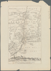
Property in the towns of Cast…
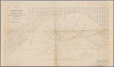
Map of the country thirty-thr…
Map of the country thirty-thr…
m
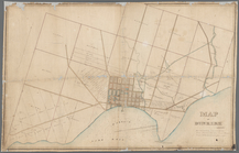
Topographical map of New York…
m
Map of the City of Brooklyn a…
m
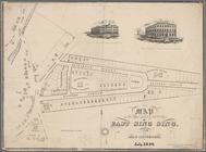
Peremptory sale of a suburban…
City guide
m
A map shewing the extent of t…
m
Map of the southern part of W…
m
Map of Ulster County, New York
m
Map of Washington County, New…
m
Map of Clinton Co., New York:…
Works at Stony Point and Verp…
A sketch of the siege of Fort…
Battle of Long Island: from S…
Map of the tertiary of Essex …
Survey of the Battery
Map of the town of Flatbush, …
m
Map of Allegany Co., N.Y.: fr…
m
Map of Kings and part of Quee…
m
Map of Albany County, New Yor…
Map of Great Barn Island, New…
Operations on the Hudson River
Operations on Hudson's River
Position of the American Army…
Attack on forts Clinton and M…
Map of the "Hunter Fly Farm" …
m
Map of the city of Williamsbu…
m
Eastern part of Long Island S…
Long Island Sound (western sh…
Middle part of Long Island So…
Map of New Netherland with a …
m
Map of Genesee County, New Yo…
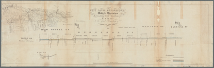
Erie Canal enlargement, middl…
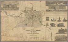
Map of the village of Auburn
m
Map of Dunkirk
Map of the head waters of the…
Map of the River Niagara and …
A prospective view of the bat…
A map of a tract of land in t…
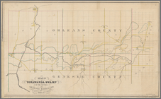
Map of Tonawanda Swamp in the…
Survey for a ship canal aroun…
Map of the city of Buffalo
A new map of the city of Buff…
Map of Dunkirk Harbor, showin…
Map of the upper part of the …
A plan of the Manor of Philip…
Map of Buffalo Harbor, N.Y., …
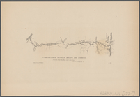
Communication between Albany …
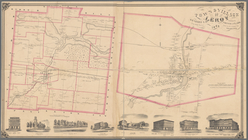
Town & Village of Leroy, Gene…
1
2
Previous
Next
1
2
Previous
Next