Click to visit the main New York Public Library Homepage
The New York Public Library
Digital Collections
About Digital Collections
Browse
Search only public domain materials
Items
Collections
Divisions
Home
Search
Browse
About
Search only public domain materials
Items
Collections
Divisions
Digital Collections
Using Images
Using Data
Search
Filtered search
Show filters
Hide filters
Show Only Public Domain
topic
Real property
446
Landowners
233
Administrative and political divisions
198
Nautical charts
180
Atlases
165
More
Less
name
Burr, David H., 1803-1875
195
Perris, William
166
United States Coast Survey
152
Bache, A. D. (Alexander Dallas), 1806-1867
131
Society for the Diffusion of Useful Knowledge (Great Britain)
115
More
Less
collection
Maps of North America
889
Maps of New York City and State
555
Bancker plans
414
Lawrence H. Slaughter Collection of English maps, charts, globes, books and atlases
253
Atlases of New York City
194
More
Less
place
New York (State)
690
New York (N.Y.)
352
New York
290
United States
281
Manhattan (New York, N.Y.)
235
More
Less
genre
Maps
3151
Surveys
423
land surveys
360
Prints
216
Cadastral maps
187
More
Less
publisher
publisher not identified
168
William Perris
142
Chapman and Hall
109
Impr. impériale
84
U.S. Coast Survey
84
More
Less
division
Map Division
2302
Manuscripts and Archives Division
427
General Research Division
170
Rare Book Division
122
George Arents Collection
53
More
Less
type
x
cartographic
text
150
still image
98
Date Range
to
3,240 results found
Filtering on:
x
Date
: 1798 - 1856
x
Type
: cartographic
Sort by:
Title
Date created
Date digitized
Sequence
Results 251 - 300
Piano generale di Tebe.
Pianta del tempio di File.
Sketch of the action on the h…
Sketch of the Battle of Bunke…
Plan of Charles River and War…
Boston with Charlestown and R…
Map of the frontiers of the n…
Sketch of the action on the h…
Le Kaire et ses environs
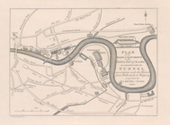
Plan of the Tunnel with refer…
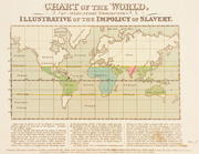
Chart of the world, on Mercat…
m
Le Kaire: Plan particulier de…
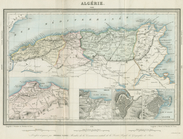
Algerie
m
United States of Nth. America
m
Pianta della città di Pisa
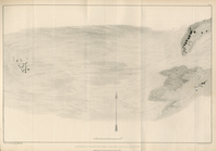
The Nile, from Assuan to the …
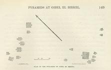
General plan of the pyramids …
Plan of the pyramids of Gibel…
Map of New York City showing …
A chart of the world : exhibi…
Plan of the city of Philadelp…
Map of the territory of Minne…
Map of the general government…
Plat of a survey of land "for…
m
Missouri
Chicago : correctly copied fr…
Chicago harbor
Subdivision of Block 5 of the…
The city of Chicago, Cook Co.…
A sketch of the public survey…
Map of Texas and the countrie…
Map of the territories of Mic…
Geological map of the distric…
Sketch of the public surveys …
m
Map of Michigan & part of Wis…
To the citizens of Philadelph…
Sketch I, showing the progres…
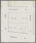
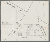
Horatio Street, Hudson Street…
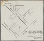
These lots will positively be…
Gansevoort Street, 9th Avenue…
Jane Street, Eighth Avenue, T…
Thirteenth Street, Greenwich …
m
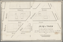
Map of lots to be sold at auc…
m
Hammond Street, Perry Street,…
m
3 three story brick houses in…
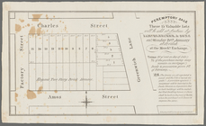
Peremptory sale these 15 valu…
Map of lots to be sold at auc…
Executors sale of part of the…
m
Map of property in the 9th wa…
Hudson Street, Horatio Street…
1
2
3
4
5
6
7
8
9
10
…
12
13
Previous
Next
1
2
3
4
5
6
7
8
9
10
…
12
13
Previous
Next