Click to visit the main New York Public Library Homepage
The New York Public Library
Digital Collections
About Digital Collections
Browse
Search only public domain materials
Items
Collections
Divisions
Home
Search
Browse
About
Search only public domain materials
Items
Collections
Divisions
Digital Collections
Using Images
Using Data
Search
Filtered search
Show filters
Hide filters
Show Only Public Domain
topic
Parks
1294
Libraries
973
Branch libraries
736
Real property
678
Buildings, structures, etc
598
More
Less
name
New York Public Library
946
New York Public Library. Branch Libraries
736
Wurts Bros. (New York, N.Y.)
555
E. & H.T. Anthony (Firm)
546
Perris, William
272
More
Less
collection
Robert N. Dennis collection of stereoscopic views
2535
Wallach Division Picture Collection
1804
New York Public Library Visual Materials
950
Atlases of New York City
624
Collection of photographs of New York City
523
More
Less
place
x
New York
New York (State)
7859
New York (N.Y.)
4793
Manhattan (New York, N.Y.)
2899
Central Park (New York, N.Y.)
1127
More
Less
genre
Photographs
4424
Stereographs
2535
Prints
1558
Maps
875
Views
411
More
Less
publisher
Perris & Browne
124
G.M. Hopkins & Co
108
William Perris
105
E. Robinson Co
87
G. W. Bromley & E. Robinson
80
More
Less
division
Wallach Division: Photography Collection
2673
Wallach Division: Picture Collection
1046
NYPL Archives
951
Map Division
760
Milstein Division
759
More
Less
type
still image
6796
cartographic
871
text
257
Date Range
to
7,874 results found
Filtering on:
x
Date
: 1800 - 1888
x
Place
: New York
Sort by:
Title
Date created
Date digitized
Sequence
Results 1251 - 1300
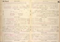
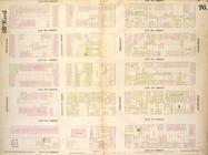
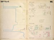
Map bounded by University Pla…
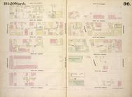
Map bounded by West 14th Stre…
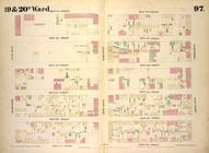
Map bounded by West 4th Stree…
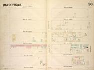
Map bounded by Bleecker Stree…
Map bounded by West Street, W…
Map bounded by West 17th Stre…
Map bounded by West 17th Stre…
Map bounded by West 22nd Stre…
Map bounded by West 22nd Stre…
Map bounded by Eleventh Avenu…
Map bounded by East 26th Stre…
Map bounded by East 27th Stre…
Map bounded by West 27th Stre…
Map bounded by Second Avenue,…
Map bounded by East 32nd Stre…
Map bounded by West 32nd Stre…
Map bounded by Second Avenue,…
Map bounded by East 37th Stre…
Map bounded by West 37th Stre…
Map bounded by Second Avenue,…
Map bounded by East 42nd Stre…
Map bounded by West 42nd Stre…
Map bounded by West 27th Stre…
Map bounded by West 27th Stre…
Map bounded by West 27th Stre…
Map bounded by West 32nd Stre…
Map bounded by West 32nd Stre…
Map bounded by West 32nd Stre…
Map bounded by West 37th Stre…
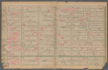
Maps of the city of New York …
Maps of the city of New York…
Map bounded by West Street, A…
Map bounded by West 37th Stre…
Map bounded by West 37th Stre…
Map bounded by West 42nd Stre…
Map bounded by West 42nd Stre…
Map bounded by West 42nd Stre…
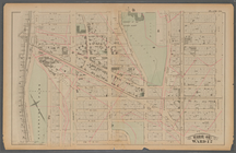
Plate 15:: [Bounded by W. 50…
Plate 29:: [Bounded by W. 133…
Map bounded by Water Street, …
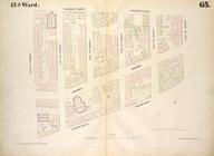
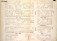
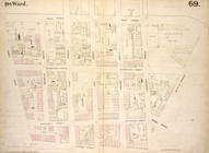
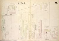
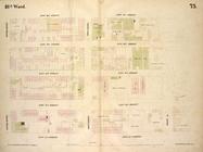
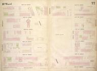
1st Ward. [Map bounded by Bow…
Map bounded by Bulkhead & Pie…
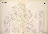
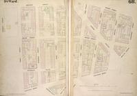
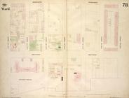
3rd Ward. [Map bounded by Col…
1st Ward. [Map bounded by Exc…
Map bounded by Bulkhead & Pie…
3rd Ward. [Map bounded by Ful…
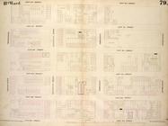
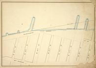
Maps of the Wharves & Piers o…
Maps and Profiles of Ground f…
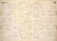
Map bounded by Corlears St, M…
Block No. 678 Map bounded by …
1
2
3
4
5
6
7
8
9
10
…
31
32
Previous
Next
1
2
3
4
5
6
7
8
9
10
…
31
32
Previous
Next