Click to visit the main New York Public Library Homepage
The New York Public Library
Digital Collections
About Digital Collections
Browse
Search only public domain materials
Items
Collections
Divisions
Home
Search
Browse
About
Search only public domain materials
Items
Collections
Divisions
Digital Collections
Using Images
Using Data
Search
Filtered search
Show filters
Hide filters
Show Only Public Domain
topic
Real property
386
Landowners
203
Administrative and political divisions
175
Nautical charts
133
Geography
112
More
Less
name
Burr, David H., 1803-1875
195
Society for the Diffusion of Useful Knowledge (Great Britain)
115
United States Coast Survey
110
J. & C. Walker (Firm)
106
Perris, William
104
More
Less
collection
Maps of North America
752
Maps of New York City and State
484
Atlases of the United States
186
Bancker plans
161
Lawrence H. Slaughter Collection of English maps, charts, globes, books and atlases
153
More
Less
place
New York (State)
607
New York (N.Y.)
332
New York
253
United States
243
Manhattan (New York, N.Y.)
209
More
Less
genre
Maps
2351
Prints
180
Surveys
169
Atlases
160
Cadastral maps
156
More
Less
publisher
publisher not identified
151
Chapman and Hall
109
William Perris
104
Impr. impériale
84
For sale by the principal booksellers
67
More
Less
division
Map Division
1860
Manuscripts and Archives Division
172
General Research Division
125
Rare Book Division
122
George Arents Collection
53
More
Less
type
x
cartographic
text
112
still image
92
Date Range
to
2,436 results found
Filtering on:
x
Date
: 1809 - 1854
x
Type
: cartographic
Sort by:
Title
Date created
Date digitized
Sequence
Results 1251 - 1300
Situationsplan von der Ruinen…
Situationsplan der Gebäuderes…
Grundplan der Gebäudeanlagen …
Situationsplan der Ruinen von…
A new and accurate chart (fro…
A new and accurate chart (fro…
To the members of the Nautica…
Vereinigte Staaten in Nord Am…
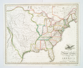
United States of America
Northern provinces of the Uni…
Southern provinces of the Uni…
Map of the country thirty mil…
A correct map of the city of …
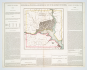
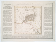
Geographical, statistical, an…
United States of Nth. America…
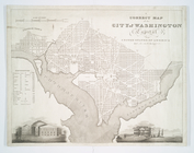
District Columbia.
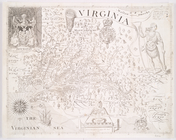
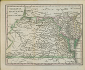
Virginia
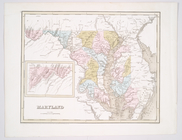
Maryland
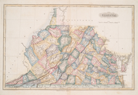
Virginia
m
A map of Virginia : formed fr…
Virginia, Maryland, and Delaw…
Maryland.
Delaware, from the best autho…
Roads of Newcastle County
Delaware
Delaware
Delaware.
Delaware
A correct map of the city of …
A chart of the bar of Sandy H…
States of America, from the b…
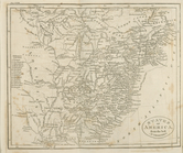
Virginia, Maryland, and Delaw…
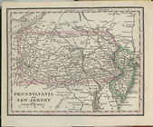
Pennsylvania and New Jersey.
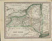
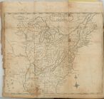
New York.
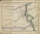
Falls of Niagara and adjacent…
United States or Fredon
Chart of Long Island Sound, 1…
Entrance to New York Bay from…
Nautical chart of Little Egg …
The Bay and river of Delaware
Chart of the entrance to Ches…
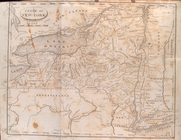
State of New-York for Spaffor…
Bowles's new one-sheet map of…
United States of America.
m
A map of Virginia : formed fr…
Long Island Sound from New Yo…
m
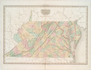
Map of the state of Virginia
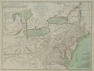
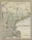
New England.
Central Park Planning Map No.…
Central Park Planning Map: Bo…
1
2
3
4
5
6
7
8
9
10
Previous
Next
1
2
3
4
5
6
7
8
9
10
Previous
Next