Click to visit the main New York Public Library Homepage
The New York Public Library
Digital Collections
About Digital Collections
Browse
Search only public domain materials
Items
Collections
Divisions
Home
Search
Browse
About
Search only public domain materials
Items
Collections
Divisions
Digital Collections
Using Images
Using Data
Search
Filtered search
Show filters
Hide filters
Show Only Public Domain
topic
Geography
1
name
Thomas & Andrews
6
Lewis, Samuel, 1753 or 1754-1822
5
Arrowsmith, Aaron, 1750-1823
3
Eddy, John H. (John Hartshorne), 1783-1817
1
Ferguson, James, 1710-1776
1
More
Less
collection
Maps of North America
5
Lawrence H. Slaughter Collection of English maps, charts, globes, books and atlases
3
Maps of New York City and State
2
place
United States
2
United States -- Maps
2
Delaware -- Maps
1
Maryland -- Maps
1
New York (N.Y.)
1
More
Less
genre
Maps
10
publisher
Published by Thomas & Andrews,
3
A. Lay?
1
Printed for F. C. and J. Rivington [etc.],
1
Published by Prior & Dunning, map & chart sellers, No. 111 Water Street,
1
Thomas & Andrews
1
More
Less
division
x
Map Division
type
x
cartographic
Date Range
to
10 results found
Filtering on:
x
Date
: 1812 - 1812
x
Division
: Map Division
x
Type
: cartographic
Sort by:
Title
Date created
Date digitized
Sequence
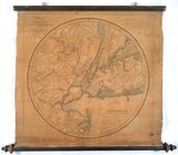
Map of the country thirty mil…
United States of Nth. America…
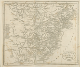
States of America, from the b…
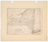
New York
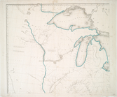
Map of the northern part of t…
Delaware.
Pennsylvania
Virginia
United States.
Maryland.