Click to visit the main New York Public Library Homepage
The New York Public Library
Digital Collections
About Digital Collections
Browse
Search only public domain materials
Items
Collections
Divisions
Home
Search
Browse
About
Search only public domain materials
Items
Collections
Divisions
Digital Collections
Using Images
Using Data
Search
Filtered search
Show filters
Hide filters
Show Only Public Domain
topic
Canals
2
Indians of North America
2
Real property
2
Administrative and political divisions
1
Atlases
1
More
Less
name
Tanner, Henry Schenck, 1786-1858
3
Arrowsmith, John, 1790-1873
2
J. & C. Walker (Firm)
2
Melish, John, 1771-1822
2
Vallance, J. (John), 1770-1823
2
More
Less
collection
Maps of North America
15
Maps of New York City and State
3
Atlases, gazetteers, guidebooks and other books
1
Lawrence H. Slaughter Collection of English maps, charts, globes, books and atlases
1
place
x
North America
United States
6
Canada
4
Maps
4
Great Britain
2
More
Less
genre
Maps
20
Cadastral maps
1
publisher
publisher not identified
4
Chapman and Hall
1
Chez J. Goujon, editeur-propriétaire, rue du Bac, no. 6, près le Pont royal
1
E.F. Woodward
1
J. Arrowsmith
1
More
Less
division
x
Map Division
type
cartographic
20
Date Range
to
20 results found
Filtering on:
x
Date
: 1814 - 1848
x
Division
: Map Division
x
Place
: North America
Sort by:
Title
Date created
Date digitized
Sequence
World on gnomonic projection …
Improved map of the territori…
Sketch of the claims to land …
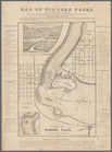
Map of Niagara Falls, and gui…
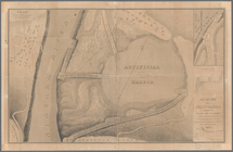
Map of the River Niagara and …
Survey for a ship canal aroun…
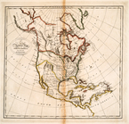
Map of the western and middle…
British possessions in North …
Map of the United States : wi…
Skeleton map showing the rail…
General-Karte der Vereinigten…
Map of North America : exhibi…
Carta generale dell' America …
Map of the United States
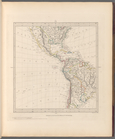
Carte physique et politique d…
A Map of the frontier of Brit…
A map exhibiting all the new …
British North America
m
Map of the United States with…
A new and accurate map of Nor…
End of results
|
Top