Click to visit the main New York Public Library Homepage
The New York Public Library
Digital Collections
About Digital Collections
Browse
Search only public domain materials
Items
Collections
Divisions
Home
Search
Browse
About
Search only public domain materials
Items
Collections
Divisions
Digital Collections
Using Images
Using Data
Search
Filtered search
Show filters
Hide filters
Show Only Public Domain
topic
Administrative and political divisions
5
Altitudes
2
Canals
2
Charts, diagrams, etc
2
Maps
2
More
Less
name
Hooker, William
4
Tanner, Vallance, Kearny & Co
4
Eddy, John H. (John Hartshorne), 1783-1817
3
Maverick, Samuel, 1789-1845
3
James Eastburn & Co
2
More
Less
collection
x
Maps of New York City and State
place
New York (State)
14
New York (N.Y.)
5
Connecticut
4
Manhattan (New York, N.Y.) -- Maps
4
New York (N.Y.) -- Maps
4
More
Less
genre
Maps
22
publisher
W. Hooker
3
D. Steele
2
Prior & Dunning,
2
Published by James Eastburn & Co., at the Literary Rooms in Broadway
2
B.D. Packard & Troy
1
More
Less
division
Map Division
22
type
x
cartographic
text
2
Date Range
to
22 results found
Filtering on:
x
Date
: 1817 - 1824
x
Collection
: Maps of New York City and State
x
Type
: cartographic
For more collection details, visit the
Maps of New York City and State collection page
.
Sort by:
Title
Date created
Date digitized
Sequence
Plan of the position taken by…
Map of the meetings constitut…
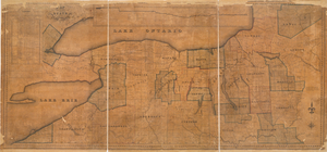
County of Monroe
The course of the River St. L…
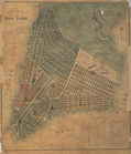
Plan of the city of New-York …
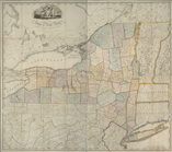
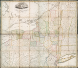
State of New York, Jany. 1, 1…
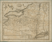
New York
The state of New York : with …
m
The state of New York : with …
Map of part of New York State…
A new map and profile of the …
m
Map of the city of Albany
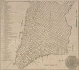
Hooker's new pocket plan of t…
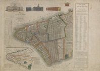
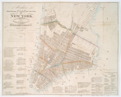
Plan of the city of New-York
This actual map and comparati…
m
Map of the western part of th…
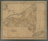
Map of the State of New York
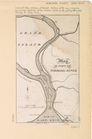
Map of part of Niagara River
The state of New York : with …
Hooker's new pocket plan of t…
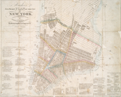
Plan of the city of New-York …
Hooker's new pocket plan of t…
End of results
|
Top