Click to visit the main New York Public Library Homepage
The New York Public Library
Digital Collections
About Digital Collections
Browse
Search only public domain materials
Items
Collections
Divisions
Home
Search
Browse
About
Search only public domain materials
Items
Collections
Divisions
Digital Collections
Using Images
Using Data
Search
Filtered search
Show filters
Hide filters
Show Only Public Domain
topic
Nautical charts
9
Administrative and political divisions
5
Description and travel
5
Economic conditions
5
Pilot guides
5
More
Less
name
Hooker, William
12
Blunt, Edmund M. (Edmund March), 1770-1862
8
Jomard, M. (Edme-François), 1777-1862
6
Napoleon I, Emperor of the French, 1769-1821
6
Blunt, G. W. (George William), 1802-1878
5
More
Less
collection
Maps of North America
23
Lawrence H. Slaughter Collection of English maps, charts, globes, books and atlases
12
Description de l'Égypte: ou, Recueil des observations et des recherches qui ont été faites en Égypte pendant l'expédition de l'armée française
6
Maps of New York City and State
6
Bref om de Forenta Staterna, föfattade under en resa till Amerika, åren 1818, 1819, 1820
5
More
Less
place
United States
10
Egypt
6
New Jersey
6
Atlantic Coast (North America)
5
Atlantic Coast (South America)
5
More
Less
genre
Maps
58
Prints
7
Illustrations
3
Topographic maps
3
Plans
1
publisher
Impr. impériale
6
Ecksteinska tryckeriet
5
Pub. by E.M. Blunt for W. Hooker
5
W. Hooker
3
A. Rucker
2
More
Less
division
Map Division
44
Rare Book Division
11
General Research Division
2
Pforzheimer Collection
2
Schomburg Manuscripts, Archives and Rare Books Division
1
type
x
cartographic
text
4
still image
2
Date Range
to
60 results found
Filtering on:
x
Date
: 1822 - 1824
x
Type
: cartographic
Sort by:
Title
Date created
Date digitized
Sequence
Isothermal chart, or, View of…
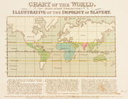
Chart of the world, on Mercat…
Map of the states of Indiana …
Georgia
m
A map of South Carolina : con…
Vermont, from actual survey :…
Map of the country which was …
Memphis et environs. Plan gén…
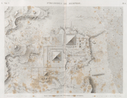
Pyramides de Memphis. Plan to…
Tanis (Sân). Plan des ruines …
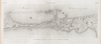
Alexandrie [Alexandria]. Cart…
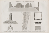
Alexandrie [Alexandria]. 1. V…
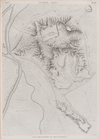
Environs d'Alexandrie [Alexan…
To the members of the Nautica…
Vereinigte Staaten in Nord Am…
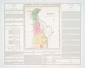
Geographical, statistical, an…
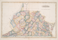
Virginia
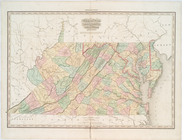
Virginia, Maryland, and Delaw…
Delaware
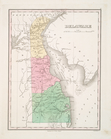
Delaware
Chart of Long Island Sound, 1…
Entrance to New York Bay from…
Nautical chart of Little Egg …
The Bay and river of Delaware
Chart of the entrance to Ches…
State of New York, Jany. 1, 1…
Hooker's new pocket plan of t…
m
Map of the western part of th…
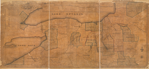
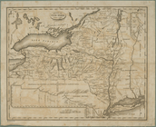
Map of the State of New York
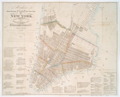
Hooker's new pocket plan of t…
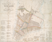
Hooker's new pocket plan of t…
Map of the United States : wi…
Map of the state of New-York …
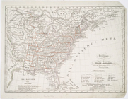
United States.
Baltimore, Annapolis, and adj…
Baltimore, Annapolis, and adj…
Northern section of the Unite…
United States of America : co…
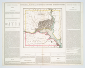
Plan af Philadelphia
The traveller's guide : a new…
Southern section of the Unite…
m
The Traveller's tour through …
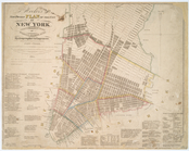
Plan of the city of Philadelp…
Nautical chart of Little Egg …
Chart of the entrance to Ches…
North America.
Geographical, statistical, an…
Plan of Philadelphia
To the members of the Nautica…
m
Panorama des Rheins und seine…