Click to visit the main New York Public Library Homepage
The New York Public Library
Digital Collections
About Digital Collections
Browse
Search only public domain materials
Items
Collections
Divisions
Home
Search
Browse
About
Search only public domain materials
Items
Collections
Divisions
Digital Collections
Using Images
Using Data
Search
Filtered search
Show filters
Hide filters
Show Only Public Domain
topic
Real property
4986
Fire insurance
3212
Cities & towns
3091
Waterfalls
1889
Tourism
1445
More
Less
name
Sanborn Map Company
3086
E. & H.T. Anthony (Firm)
1339
New York Public Library
944
New York Public Library. Branch Libraries
736
Lyon, Robert, 1810-1858
388
More
Less
collection
Robert N. Dennis collection of stereoscopic views
10263
Atlases of New York City
3623
Wallach Division Picture Collection
1759
Atlases of the United States
1406
New York Public Library Visual Materials
949
More
Less
place
x
New York (State)
New York
6889
New York (N.Y.)
5038
Manhattan (New York, N.Y.)
2725
Niagara Falls (N.Y. and Ont.)
2502
More
Less
genre
Photographs
12055
Stereographs
10263
Maps
5645
Prints
1939
Atlases
1406
More
Less
publisher
Sanborn Map Company
3086
Robert Lyon
388
Baker & Record
278
F. W. Beers & Co
148
R.D. Crum
144
More
Less
division
Wallach Division: Photography Collection
10430
Map Division
5692
Wallach Division: Picture Collection
1090
NYPL Archives
950
Wallach Division: Print Collection
813
More
Less
type
still image
15183
cartographic
5703
text
771
Date Range
to
21,199 results found
Filtering on:
x
Date
: 1824 - 1884
x
Place
: New York (State)
Sort by:
Title
Date created
Date digitized
Sequence
Results 1251 - 1300
Executive Committee minutes (…
Executive Committee minutes (…
Map of the head waters of the…
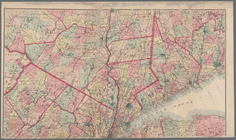
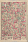
Map of Massachusetts, Connect…
Map of the Eastern States: to…
Topographical map of Seneca C…
Lake George and part of Lake …
A map of the county between C…
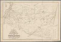
Topographical map showing the…
Topographical map showing the…
Geological and land patent ma…
Map of a portion of the Chate…
Map of the Catskill Mountains
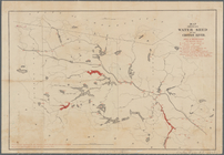
Map showing water shed of the…
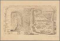
A prospective view of the bat…
m
Map of the Catskill Mountains
A chorographical map of the p…
Sketch showing the primary tr…
Map of the New York wildernes…
Map showing location of reser…
Map of Hamilton, St. Lawrence…
Adirondack survey, 1873: Bald…
m
The State of New York: from n…
Map of the reservoirs, feeder…
Geology of the Genesee River
A map of the Genesee lands in…
m
Map of New York and vicinity:…
Map of the boundary between t…
Map of the Sacketts Harbor an…
Lloyd's map of the Canadas, N…
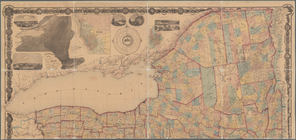
Asher & Adams' new map of the…
m
Map of the Hudson River, show…
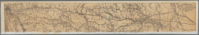
Hudson River route: New York …
[Map of the Hudson River] pre…
Diagram showing the relative …
m
Map of Cayuga and Seneca Coun…
m
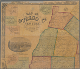
Map of Otsego Co., New York: …
A map of the towns of Livings…
Onondaga County & adjacent te…
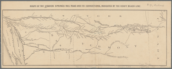
Route of the Lebanon Springs …
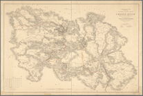
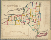
Map of the State of New York
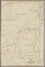
Head-quarters of the Fenian B…
m
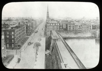
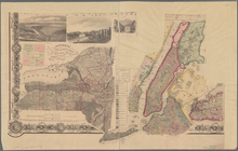
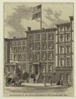
Fifth Avenue looking south wi…
Map showing the position of t…
Map of the rail roads of the …
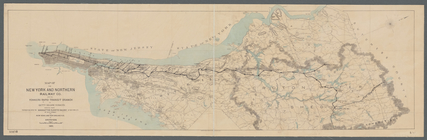
Map of the New York and North…
Coltons map of the New York w…
Colton's railroad & township …
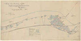
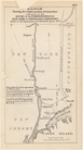
Plan showing route of Rochest…
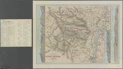
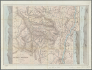
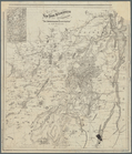
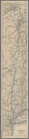
Map of the Adirondack wildern…
1
2
3
4
5
6
7
8
9
10
…
84
85
Previous
Next
1
2
3
4
5
6
7
8
9
10
…
84
85
Previous
Next