Click to visit the main New York Public Library Homepage
The New York Public Library
Digital Collections
About Digital Collections
Browse
Search only public domain materials
Items
Collections
Divisions
Home
Search
Browse
About
Search only public domain materials
Items
Collections
Divisions
Digital Collections
Using Images
Using Data
Search
Filtered search
Show filters
Hide filters
Show Only Public Domain
topic
Real property
40
Landowners
23
Railroads
7
Description and travel
6
Canals
5
More
Less
name
Burr, David H., 1803-1875
53
De Witt, Simeon, 1756-1834
53
Dépôt de la guerre (France)
51
Jacotin, Pierre, 1765-1827
51
Jomard, M. (Edme-François), 1777-1862
51
More
Less
collection
Atlases of the United States
52
Description de l'Égypte: ou, Recueil des observations et des recherches qui ont été faites en Égypte pendant l'expédition de l'armée française
51
Maps of North America
23
Maps of New York City and State
19
Lawrence H. Slaughter Collection of English maps, charts, globes, books and atlases
6
More
Less
place
Egypt
57
New York (N.Y.)
56
New York (State)
56
United States
14
Manhattan (New York, N.Y.) -- Maps
7
More
Less
genre
x
Maps
Atlases
52
Charts
2
Nautical charts
2
Prints
2
More
Less
publisher
Impr. impériale
51
D. H. Burr
26
Stone and Clark
26
publisher not identified
7
H. Gaugain
6
More
Less
division
Map Division
100
Rare Book Division
57
Milstein Division
2
General Research Division
1
George Arents Collection
1
More
Less
type
cartographic
163
text
3
still image
2
Date Range
to
163 results found
Filtering on:
x
Date
: 1828 - 1829
x
Genre
: Maps
Sort by:
Title
Date created
Date digitized
Sequence
m
Carte trigonométrique des côt…
Carte pour servir a l'itenera…
Map of the United States and …
m
A New and Accurate Map of the…
Map of New-York : on the impr…
Map of North America : exhibi…
The tourist's map of the stat…
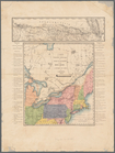
Map of the State of New York …
Virginia, Maryland, and Delaw…
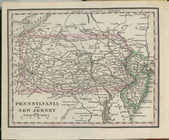
Pennsylvania and New Jersey.
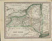
New York.
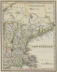
New England.
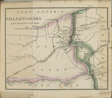
Falls of Niagara and adjacent…
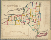
Map of the State of New York
District Columbia.
Map of the United States and …
Map of the United States and …
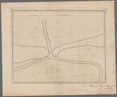
Map of the mouth of Genessee …
Pultneyville bay: with the pl…
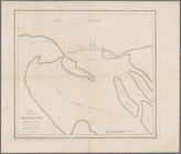
Map of the mouth of big Sandy…
Map of the mouth of Great Sod…
7th map to accompany Willard'…
Map of the United States
Second map to accompany Willa…
Third map to accompany Willar…
Fourth map to accompany Willa…
Map exhibiting the Farmington…
Map of Pennsylvania and New J…
Map of Virginia and Maryland,…
Map of the western states to …
Map of the country embracing …
Map of the Eastern States: to…
Boston and Albany Rail Road: …
Profile of a survey for a rai…
m
Plan of a survey for a rail-r…
A map of the state of New Jer…
m
Survey of the Allegheny River…
Plan of the city of Philadelp…
Map of the territory of Flori…
Plat of the private claims at…
To accompany Willard's histor…
Carte pour servir à l'itinéra…
Tableau d'assemblage pour Car…
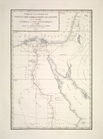
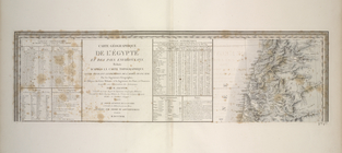
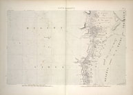
Carte géographique de l'Égypt…
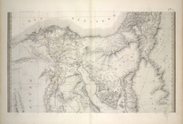
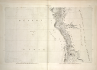
Bahari ou Basse Égypte et Ara…
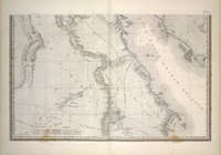
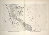
El-Saîd ou Haute Égypte et Ge…
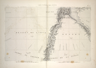
Les cataractes, Syène.
Koûm Ommboûs [Kom Ombo]
Edfoû [Edfu]
Esné [Esna]