Click to visit the main New York Public Library Homepage
The New York Public Library
Digital Collections
About Digital Collections
Browse
Search only public domain materials
Items
Collections
Divisions
Home
Search
Browse
About
Search only public domain materials
Items
Collections
Divisions
Digital Collections
Using Images
Using Data
Search
Filtered search
Show filters
Hide filters
Show Only Public Domain
topic
x
Administrative and political divisions
Altitudes
3
Charts, diagrams, etc
3
Maps
3
Canals
1
More
Less
name
Finley, A. (Anthony)
3
Burr, David H., 1803-1875
2
De Witt, Simeon, 1756-1834
2
Farmer, John, 1798-1859
2
Fenner, Sears & Co
2
More
Less
collection
Maps of North America
10
Maps of New York City and State
6
I. N. Phelps Stokes Collection of American Historical Prints
1
place
New York (N.Y.)
5
Manhattan (New York, N.Y.)
4
Erie Canal (N.Y.)
3
New York (State)
3
Tennessee
3
More
Less
genre
x
Maps
Manuscript maps
2
publisher
I.T. Hinton & Simpkin & Marshall
2
John Farmer
2
Published by A. Finley
2
Published by Simeon De Witt, surveyor general
2
producer not identified
2
More
Less
division
Map Division
16
Wallach Division: Print Collection
1
type
cartographic
17
Date Range
to
17 results found
Filtering on:
x
Date
: 1830 - 1832
x
Genre
: Maps
x
Topic
: Administrative and political divisions
Sort by:
Title
Date created
Date digitized
Sequence
Map of the territories of Mic…
An improved map of the survey…
m
Map of Kentucky and Tennessee…
m
Mississippi
m
Tennessee
Map of the states of North & …
m
Map of the state of Georgia: …
Map of the states of Kentucky…
Massachusetts with Connecticu…
New Jersey
Map of the city and county of…
Map of the city and county of…
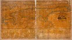
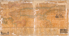
The state of New York from th…
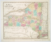
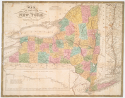
Map of the State of New York
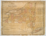
Map of the state of New York
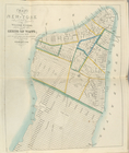
Map of the city of New-York
Map of the city of New York.
End of results
|
Top