Click to visit the main New York Public Library Homepage
The New York Public Library
Digital Collections
About Digital Collections
Browse
Search only public domain materials
Items
Collections
Divisions
Home
Search
Browse
About
Search only public domain materials
Items
Collections
Divisions
Digital Collections
Using Images
Using Data
Search
Filtered search
Show filters
Hide filters
Show Only Public Domain
topic
City planning
82
Real property
62
Administrative and political divisions
55
Landowners
44
Railroads
23
More
Less
name
New York (N.Y.). Common Council
86
Burr, David H., 1803-1875
48
Valentine, D. T. (David Thomas), 1801-1869
30
Rawdon, Clark & Co
28
Rawdon, Wright & Co
28
More
Less
collection
Maps of New York City and State
281
Atlases of the United States
26
Atlases of New York City
21
I. N. Phelps Stokes Collection of American Historical Prints
3
Scrapbooks of New York City views
3
More
Less
place
x
New York (N.Y.)
New York (State)
169
Manhattan (New York, N.Y.)
90
New York
68
Central Park (New York, N.Y.)
66
More
Less
genre
Maps
337
Atlases
26
Manuscript maps
12
Cadastral maps
11
Clippings
3
More
Less
publisher
Stone and Clark,
26
J.E. Serrell
21
s.n
12
M. Dripps
6
G.W. & C.B. Colton & Co
5
More
Less
division
Map Division
329
Milstein Division
4
Wallach Division: Print Collection
3
General Research Division
2
Manuscripts and Archives Division
1
More
Less
type
x
cartographic
text
6
still image
1
Date Range
to
340 results found
Filtering on:
x
Date
: 1830 - 1870
x
Place
: New York (N.Y.)
x
Type
: cartographic
Sort by:
Title
Date created
Date digitized
Sequence
m
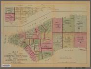
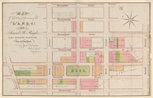
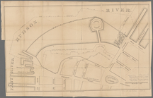
Maps of property in the city …
New-York City, County, and vi…
Map of the country thirty thr…
Map of the country thirty thr…
Map of the country thirty thr…
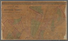
New-York and vicinity as prop…
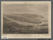
New York City and environs : …
Map of the County of New York…
m
Sanitary & topographical map …
m
Topographical map of New York…
New York and environs : desig…
New York and environs : desig…
m
Map of the City of New York a…
Map of the Lower Division of …
m
A map shewing the extent of t…
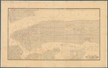
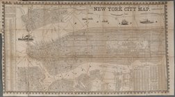
New York City Map
Map of the Battery in 1786 an…
General views, W, 39th St.
Map of 7 Washington Sq.
Region of Bone-Boiling and Sw…
Survey of the Battery
m
Map of Kings and part of Quee…
Map of Brooklyn at the time o…
Plan of the attack on forts C…
Map of New Netherland with a …
m
Asher & Adams' new topographi…
Topographical map of New York…
Van Der Donck's map of New Ne…
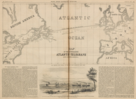
Map of the Submarine Atlantic…
m
The State of New York: from n…
m
The State of New York: from n…
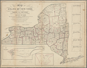
Map of the State of New-York …
m
The State of New York: from n…
m
Map of the state of New-York:…
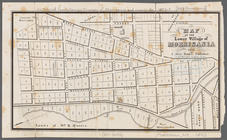
Map of the lower village of M…
Distance map of the state of …
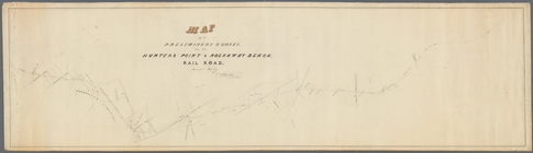
Map of a preliminary survey f…
m
Map of the city of New York
Map of 163 sections or villa …
A chart of the bar of Sandy H…
Central Park Planning Map No.…
m
Map of Staten Island, Richmon…
m
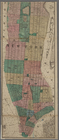
Map of the city of New York.
Central Park Planning Map: Bo…
Central Park Planning Map No.…
Central Park Planning Map: Bo…
Plan of the City of New York.…
Map of the City of New York s…
m
Higginson's map of New York a…
Central Park Planning Map: Bo…
1
2
Previous
Next
1
2
Previous
Next