Click to visit the main New York Public Library Homepage
The New York Public Library
Digital Collections
About Digital Collections
Browse
Search only public domain materials
Items
Collections
Divisions
Home
Search
Browse
About
Search only public domain materials
Items
Collections
Divisions
Digital Collections
Using Images
Using Data
Search
Filtered search
Show filters
Hide filters
Show Only Public Domain
topic
Real property
1049
Landowners
346
Administrative and political divisions
342
Railroads
259
Nautical charts
230
More
Less
name
Perris, William
308
United States Coast Survey
255
Bache, A. D. (Alexander Dallas), 1806-1867
205
Beers, F. W. (Frederick W.)
176
Perris & Browne
141
More
Less
collection
Maps of North America
1361
Maps of New York City and State
742
Atlases of the United States
637
Atlases of New York City
532
Lawrence H. Slaughter Collection of English maps, charts, globes, books and atlases
114
More
Less
place
New York (State)
1301
New York
529
Manhattan (New York, N.Y.)
418
United States
341
New York (N.Y.)
337
More
Less
genre
Maps
3608
Atlases
611
Cadastral maps
298
Nautical charts
187
Prints
122
More
Less
publisher
publisher not identified
244
William Perris
142
U.S. Coast Survey
128
Perris & Browne
124
Chapman and Hall
109
More
Less
division
Map Division
3396
General Research Division
107
Rare Book Division
15
Schomburg Jean Blackwell Hutson Research and Reference Division
13
Schomburg Manuscripts, Archives and Rare Books Division
11
More
Less
type
x
cartographic
still image
59
text
45
Date Range
to
3,696 results found
Filtering on:
x
Date
: 1830 - 1870
x
Rights
: Public Domain
x
Type
: cartographic
Sort by:
Title
Date created
Date digitized
Sequence
m
Maps of property in the city …
m
Nuevo mapa topográfico de la …
Plan of the Central Park, Cit…
Map of Camp Chase. Drawn on a…
Map illustrating the operatio…
Saratoga Springs [Township]
Schuylerville Business Direct…
Saratoga [Township]
Stillwater [Township]
References; Waterford [Villag…
Waterford [Township]
Beechers Hollow [Village]; Be…
Wilton [Township]
Map of Saratoga County
Residence of James Carrigan, …
Ballston [Township]
Ballston Spa Business Directo…
Charlton [Township]
Grangerville [Village]; Grang…
Clifton Park [Township]
Corinth [Township]; Palmer Fa…
Clifton Park [Village]; Clift…
Day Corners Business Director…
Edinburgh [Township]
Crescent [Village]; Crescent …
Galway [Township]; Yorks Corn…
Greenfield [Township]; Pages …
Bloodville [Village]; Bloodvi…
Hadley [Township]; Hadley Bus…
Half Moon [Township]
Factory Village [Village]; Fa…
Malta [Township]
Burnt Hills [Village]; Burnt …
Milton [Township]
Moreau [Township]
Conklingville [Village]; Conk…
Northumberland [Township]
Providence [Township]; Hagedo…
References; Saratoga Springs …
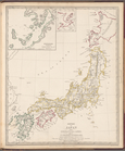
Empire of Japan
Turkey I: containing the nort…
Asia
Turkey containing the provinc…
Syria
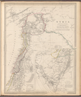
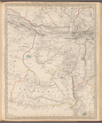
Arabia with Egypt, Nubia and …
Persia with part of the Ottom…
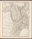
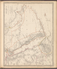
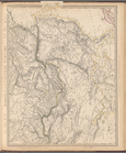
Western Siberia, Independent …
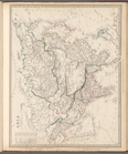
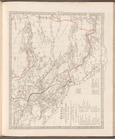
Siberia and Chinese Tartary
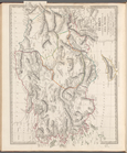
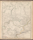
Bokhara, Cabool, Beloochistan…
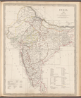
India XII: Index map
1
2
3
4
5
6
7
8
9
10
…
14
15
Previous
Next
1
2
3
4
5
6
7
8
9
10
…
14
15
Previous
Next