Click to visit the main New York Public Library Homepage
The New York Public Library
Digital Collections
About Digital Collections
Browse
Search only public domain materials
Items
Collections
Divisions
Home
Search
Browse
About
Search only public domain materials
Items
Collections
Divisions
Digital Collections
Using Images
Using Data
Search
Filtered search
Show filters
Hide filters
Show Only Public Domain
topic
Real property
1049
Landowners
346
Administrative and political divisions
342
Railroads
259
Nautical charts
230
More
Less
name
Perris, William
308
United States Coast Survey
255
Bache, A. D. (Alexander Dallas), 1806-1867
205
Beers, F. W. (Frederick W.)
176
Burr, David H., 1803-1875
142
More
Less
collection
Maps of North America
1361
Maps of New York City and State
742
Atlases of the United States
637
Atlases of New York City
532
Lawrence H. Slaughter Collection of English maps, charts, globes, books and atlases
114
More
Less
place
New York (State)
1301
New York
529
Manhattan (New York, N.Y.)
418
United States
342
New York (N.Y.)
340
More
Less
genre
Maps
3715
Atlases
611
Cadastral maps
298
Nautical charts
189
Prints
158
More
Less
publisher
publisher not identified
244
William Perris
142
U.S. Coast Survey
128
Perris & Browne
124
Chapman and Hall
109
More
Less
division
Map Division
3401
General Research Division
129
George Arents Collection
52
Rare Book Division
38
Schomburg Manuscripts, Archives and Rare Books Division
20
More
Less
type
x
cartographic
still image
116
text
105
Date Range
to
3,814 results found
Filtering on:
x
Date
: 1830 - 1870
x
Type
: cartographic
Sort by:
Title
Date created
Date digitized
Sequence
Map drawn for "The Morningsid…
Rice & Reed's township map of…
m
Outline map showing a new rou…
Hartford in 1640
Topographical map of that por…
The lake country of New Hamps…
Map of Atlantic, Mississippi …
Map showing detailed topograp…
Map of central Keweenaw Penin…
Outline map of the rail roads…
Enlarged map of the coast fro…
Map of Providence and Worcest…
Map of Indiana
Map of St. Louis and environs…
Map of property of the Ruther…
Map of the rail roads of the …
Balloon view of Narragansett …
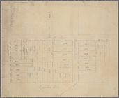
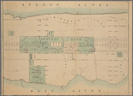
Block bounded by 2nd Ave., 99…
Proposed widening of Lexingto…
m
Manuscript maps of block boun…
Manuscript map of "building" …
Fragment of a map, covering p…
The harbor of New Bedford
Magneto-geological chart of R…
m
Colton's new sectional map of…
Parts of 1st ward of the city…
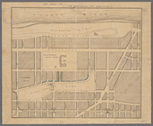
Map showing the New York and …
Map of the vicinity of Washin…
McClung's map of Minnesota : …
Benham's new map of the city …
Manuscript map of lots at cor…
Manuscript map of corner of H…
Map of Old Jan's land & the B…
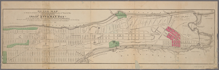
Guide map to 92 acres of land…
Map of that part of the city …
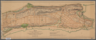
Map of New York City from 50t…
Manuscript map of corner of D…
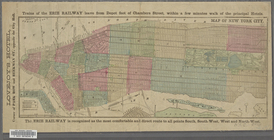
Map showing the connections o…
Manuscript map of building at…
Vernon Co., Mo. : plat of tow…
Manuscript map of corner of C…
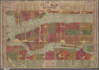
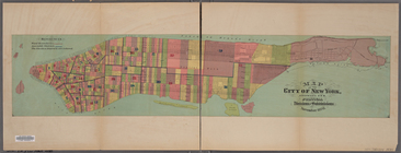
Map of the city of New York, …
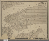
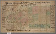
Map of New York City.
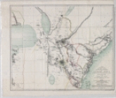
Upper Nubia and Abyssinia
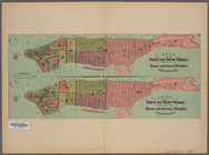
Map of the City of New York. …
Map of the City of New York […
m
New York City map and directo…
Plan of the City of New York …
A map showing the routes of s…
Nashua River
1
2
3
4
5
6
7
8
9
10
…
15
16
Previous
Next
1
2
3
4
5
6
7
8
9
10
…
15
16
Previous
Next