Click to visit the main New York Public Library Homepage
The New York Public Library
Digital Collections
About Digital Collections
Browse
Search only public domain materials
Items
Collections
Divisions
Home
Search
Browse
About
Search only public domain materials
Items
Collections
Divisions
Digital Collections
Using Images
Using Data
Search
Filtered search
Show filters
Hide filters
Show Only Public Domain
topic
x
Real property
Fire insurance
5198
Cities & towns
5007
Business enterprises
468
Landowners
425
More
Less
name
Sanborn Map Company
5103
G.W. Bromley & Co
2177
Ullitz, Hugo
606
E.B. Hyde & Co
545
E. Belcher Hyde Map Company
488
More
Less
collection
Atlases of New York City
8459
Atlases of the United States
1821
Maps of North America
322
Maps of New York City and State
288
Collection of broadside real estate maps announcing auctions of lots in early 19th century New York City
67
More
Less
place
New York (State)
10390
New York
3144
Manhattan (New York, N.Y.)
1971
Brooklyn (New York, N.Y.)
810
New York (N.Y.)
804
More
Less
genre
Maps
10650
Atlases
1818
Cadastral maps
558
Indexes
126
Title pages
81
More
Less
publisher
Sanborn Map Company
5009
G.W. Bromley & Co
1997
E. Belcher Hyde
425
E. Robinson Co
246
F. W. Beers & Co
148
More
Less
division
Map Division
10800
Milstein Division
52
Manuscripts and Archives Division
18
Schomburg Jean Blackwell Hutson Research and Reference Division
10
No Division
1
type
cartographic
10723
text
350
still image
81
Date Range
to
11,011 results found
Filtering on:
x
Date
: 1831 - 1965
x
Topic
: Real property
Sort by:
Title
Date created
Date digitized
Sequence
Results 10751 - 10800
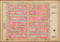
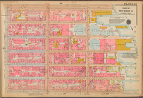
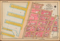
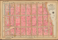
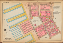
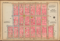
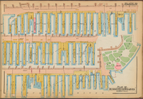
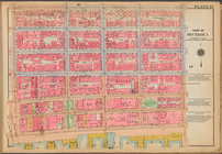
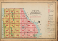
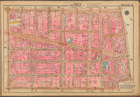
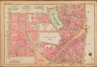
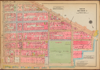
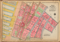
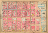
Plate 42: [Bounded by W. 20th…
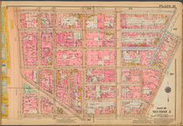
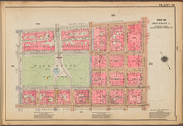
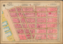
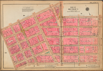
Plate 59: [Bounded by W. 37th…
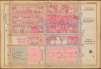
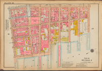
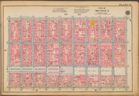
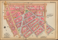
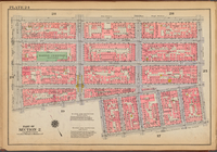
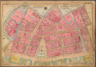
Plate 56: [Bounded by E. 32nd…
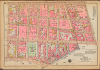
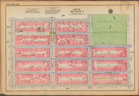
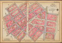
Plate 51: [Bounded by E. 26th…
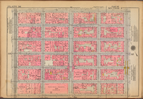
Plate 54: [Bounded by W. 31st…
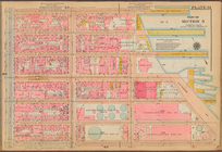
Plate 47: [Bounded by W. 26th…
Plate 44: [Bounded by E. 20th…
Plate 55: [Bounded by W. 32nd…
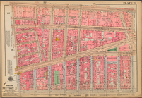
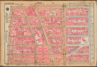
Plate 27: [Bounded by E. 14th…
Plate 23: [Bounded by Broadwa…
Plate 29: [Bounded by E. 14th…
Plate 16: [Bounded by Broome …
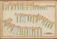
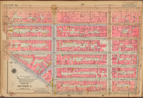
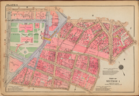
Plate 40: Plan of East River …
Plate 36: [Bounded by Jane St…
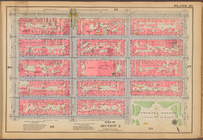
Plate 26: [Bounded by Columbi…
Plate 34: [Bounded by West St…
Plate 20: [Bounded by Prince …
Plate 30: [Bounded by E. 14th…
Plate 17: [Bounded by Stanton…
Plate 32: [Bounded by W. 14th…
Plate 38: [Bounded by W. 14th…
Plate 21: [Bounded by King St…
Plate 37: [Bounded by W. 14th…
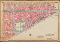
Plate 28: [Bounded by E. 9th …
Plate 22: [Bounded by W. 3rd …
Plate 31: [Bounded by W. 8th …
Plate 24: [Bounded by E. 4th …
Plate 35: [Bounded by W. 11th…
Plate 18: [Bounded by Spring …
Plate 25: [Bounded by Clinton…
Plate 33: [Bounded by Barrow …
Plate 19: [Bounded by E. Hous…
Plate 39: Plan of Hudson Rive…
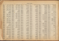
Street Index: [Water Street -…
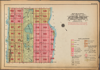
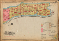
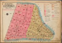
Outline and Index Map of Volu…
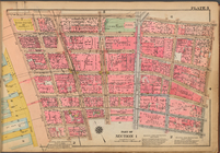
Plate 3: [Bounded by Vesey St…
Plate 13: [Bounded by East Br…
Plate 5: [Bounded by Reade St…
Plate 1: [Bounded by Beaver S…
Street Index: [80th Street E.…
Outline and Index Map of Volu…
Plate 11: [Bounded by Grand S…
Plate 8: [Bounded by Franklin…
Plate 14: [Bounded by East Br…
Outline and Index Map of Volu…
Plate 2: [Bounded by Carlisle…
Plate 6: [Bounded by Reade St…
Plate 9: [Bounded by N. Moore…
Outline and Index Map of Volu…
Plate 15: [Bounded by Stanton…
1
2
…
35
36
37
38
39
40
41
42
43
44
45
Previous
Next
1
2
…
35
36
37
38
39
40
41
42
43
44
45
Previous
Next