Click to visit the main New York Public Library Homepage
The New York Public Library
Digital Collections
About Digital Collections
Browse
Search only public domain materials
Items
Collections
Divisions
Home
Search
Browse
About
Search only public domain materials
Items
Collections
Divisions
Digital Collections
Using Images
Using Data
Search
Filtered search
Show filters
Hide filters
Show Only Public Domain
topic
Exhibitions
13713
Streets
4509
Buildings, structures, etc
3236
Street photography
3167
Real property
3143
More
Less
name
New York World's Fair (1939-1940 : New York, N.Y.)
13732
Sperr, Percy Loomis, 1890-1964
5622
Colmer, Roy, 1935-2014
3122
Davies, Diana, 1938-
2517
New York Public Library
2311
More
Less
collection
New York World's Fair 1939 and 1940 Incorporated records
13630
Photographic views of New York City, 1870's-1970's, from the collections of the New York Public Library
10555
Atlases of New York City
4362
Doors, NYC
3122
Wallach Division Picture Collection
2969
More
Less
place
x
New York
New York (State)
51736
New York (N.Y.)
27534
Manhattan (New York, N.Y.)
12308
Brooklyn (New York, N.Y.)
2828
More
Less
genre
Photographs
42155
Maps
4888
Stereographs
2682
Prints
2086
Views
646
More
Less
publisher
G.W. Bromley & Co
1573
MIT Press
942
E. Belcher Hyde
557
G.C. Hesselgren Pub. Co
301
E. Robinson Co
209
More
Less
division
Manuscripts and Archives Division
17120
Milstein Division
13378
Wallach Division: Photography Collection
8417
Map Division
4846
NYPL Archives
2179
More
Less
type
still image
47312
cartographic
3950
text
1407
sound recording
28
moving image
23
More
Less
Date Range
to
51,771 results found
Filtering on:
x
Date
: 1832 - 1984
x
Place
: New York
Sort by:
Title
Date created
Date digitized
Sequence
Results 1001 - 1050
m
Hell Gate Bridge, Inverted, A…
m
Cheese Store, 276 Bleeker Str…
m
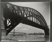
Triborough Bridge, East 125th…
m
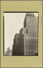
N.Y. Telephone Building, 140 …
m
Hagstrom's map of upper New Y…
Williams' map of boroughs of …
Map of boroughs of Manhattan …
m
Authentic street plan of grea…
m
Hammond's new guide map of Ma…
The Matthews-Northrup up-to-d…
m
Plans for the improvement of …
m
Taunton new guide map and dir…
m
Sanitary & topographical map …
Map of property in the 19th w…
m
Topographical map of New York…
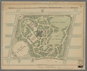
Design for laying out the gro…
m
Map of the borough of Brookly…
Plan of Bay Ridge Parkway
Map of the enlarged city of B…
m
Map of the city of Brooklyn
m
Map of the consolidated City …
m
Map of the City of Brooklyn a…
m
Peremptory sale of a suburban…
Map of the 23rd and 24th ward…
Mapa de la ciudad de Nueva Yo…
Maps accompanying report of M…
m
Robinson's map of New York Ci…
The Narrows tunnel : chart of…
Proposed site on Staten Islan…
m
Map of the underground railwa…
Flushing
City guide
Bridgman's new map of the Cit…
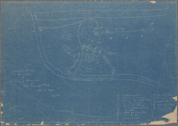
Grouping of troops and other …
m
Rand McNally & Co.'s road map…
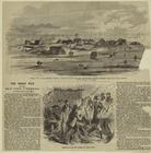
General view of the piggery d…
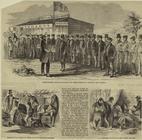
Superintendent Downing review…
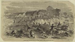
Driving the captured pigs to …
Colton's New York City, Brook…
Proposed location of the Narr…
A landmark map of City Hall P…
Map of New York City : showin…
Hagstrom's New York house-num…
m
Financial district map of New…
m
Borough of Manhattan, 300 foo…
Map of the borough of Manhatt…
Freight terminal map of the P…
Block no. 86 : confidential r…
Livingston Heights : Livingto…
m
Watson's new map of New York …
1
2
3
4
5
6
7
8
9
10
…
207
208
Previous
Next
1
2
3
4
5
6
7
8
9
10
…
207
208
Previous
Next