Click to visit the main New York Public Library Homepage
The New York Public Library
Digital Collections
About Digital Collections
Browse
Search only public domain materials
Items
Collections
Divisions
Home
Search
Browse
About
Search only public domain materials
Items
Collections
Divisions
Digital Collections
Using Images
Using Data
Search
Filtered search
Show filters
Hide filters
Show Only Public Domain
topic
Parks
1114
Streets
241
Bridges
199
Transportation facilities
166
Landscape architecture facilities
155
More
Less
name
E. & H.T. Anthony (Firm)
538
Chase, W. M. (William M.), approximately 1818-1901
173
Brown Brothers & Company
118
Brown, James, 1791-1877
118
Brown, John A., 1788-1872
118
More
Less
collection
Robert N. Dennis collection of stereoscopic views
3027
Maps of New York City and State
275
Scrapbooks of New York City views
139
Brown Brothers & Company records
118
The Eno collection of New York City views
45
More
Less
place
x
New York (N.Y.)
New York (State)
3398
New York
2670
Manhattan (New York, N.Y.)
2194
Central Park (New York, N.Y.)
1085
More
Less
genre
Photographs
3120
Stereographs
3030
Maps
327
Records (Documents)
118
account books
114
More
Less
publisher
E. & H.T. Anthony (Firm)
56
E. & H. T. Anthony
45
Stone and Clark,
26
J.E. Serrell
23
J. W. & J. S. Moulton
20
More
Less
division
Wallach Division: Photography Collection
3026
Map Division
325
Milstein Division
188
Manuscripts and Archives Division
127
Wallach Division: Print Collection
94
More
Less
type
still image
3320
cartographic
323
text
186
Date Range
to
3,813 results found
Filtering on:
x
Date
: 1833 - 1870
x
Place
: New York (N.Y.)
x
Rights
: Public Domain
Sort by:
Title
Date created
Date digitized
Sequence
m
Maps of property in the city …
[U.S. Sanitary Commission, Ne…
[U.S. Sanitary Commission, Ne…
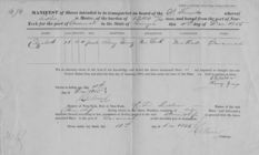
Manifest of enslaved persons …
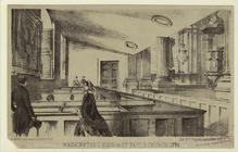
Washington's pew in St. Paul'…
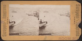
General views, East River
The city at night, from Brook…
Oyster-boats
Fifth Avenue on a Sunday morn…
New-York City, County, and vi…
Map of the country thirty thr…
Map of the country thirty thr…
Map of the country thirty thr…
New-York and vicinity as prop…
New York City and environs : …
Report of Twenty-First Sanita…
Map of the County of New York…
m
Sanitary & topographical map …
m
Topographical map of New York…
New York and environs : desig…
General view of the piggery d…
Superintendent Downing review…
Driving the captured pigs to …
New York and environs : desig…
m
Map of the City of New York a…
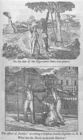
On the side of the oppressors…
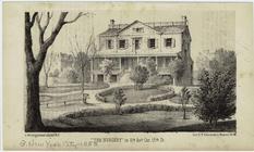
"The Nursery" in 6th Ave. Cor…
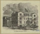
The nursery and child's hospi…
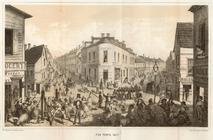
Five Points, 1827
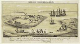
Nieuw Nederlandt
m
A map shewing the extent of t…
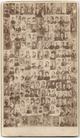
Composite photograph of 19th-…
m
Gold - Cash
m
Bronx: Kingsbridge Road (Ea -…
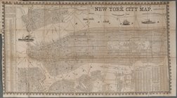
New York City Map
m
Fr. Brooklyn Bridge.
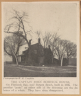
The Captain John Schenck Hous…
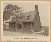
Schneck-Crooke House. On Mill…
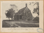
The oldest habitable house in…
Region of Bone-Boiling and Sw…
m
Doggett's New York City stree…
m
New York City directory, 1844…
m
New York City directory, 1838…
m
Balance Sheet - Real Estate V…
m
B. S. & Co: 10
m
B. S. & Co: 12
m
B. S. & Co: 11
m
B. S. & Co: 13
m
B. S. & Co: 8
m
B. S. & Co: 3
1
2
3
4
5
6
7
8
9
10
…
15
16
Previous
Next
1
2
3
4
5
6
7
8
9
10
…
15
16
Previous
Next