Click to visit the main New York Public Library Homepage
The New York Public Library
Digital Collections
About Digital Collections
Browse
Search only public domain materials
Items
Collections
Divisions
Home
Search
Browse
About
Search only public domain materials
Items
Collections
Divisions
Digital Collections
Using Images
Using Data
Search
Filtered search
Show filters
Hide filters
Show Only Public Domain
topic
Real property
2024
Administrative and political divisions
539
Railroads
444
Landowners
426
Business enterprises
349
More
Less
name
Beers, F. W. (Frederick W.)
484
Perris, William
309
United States Coast Survey
264
Everts, Ensign & Everts
231
Bache, A. D. (Alexander Dallas), 1806-1867
207
More
Less
collection
Atlases of the United States
1907
Maps of North America
1840
Maps of New York City and State
952
Atlases of New York City
874
Lawrence H. Slaughter Collection of English maps, charts, globes, books and atlases
112
More
Less
place
New York (State)
2420
New York
737
Manhattan (New York, N.Y.)
447
New York (N.Y.)
404
Brooklyn (New York, N.Y.)
375
More
Less
genre
x
Maps
Atlases
1846
Cadastral maps
362
Nautical charts
192
Bathymetric maps
103
More
Less
publisher
publisher not identified
295
F. W. Beers & Co
148
William Perris
143
U.S. Coast Survey
133
Perris & Browne
124
More
Less
division
Map Division
5707
General Research Division
51
Rare Book Division
16
Schomburg Jean Blackwell Hutson Research and Reference Division
16
Schomburg Manuscripts, Archives and Rare Books Division
10
More
Less
type
cartographic
5941
still image
86
text
72
Date Range
to
5,958 results found
Filtering on:
x
Date
: 1835 - 1882
x
Genre
: Maps
x
Rights
: Public Domain
Sort by:
Title
Date created
Date digitized
Sequence
Results 1501 - 1550
Plan of the New Haven City bu…
Massachusetts and Rhode Island
Preliminary survey of harbors…
City of New Haven
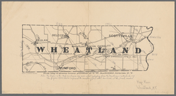
Wheatland: from map of Monroe…
A plan of New Haven and harbo…
Harbors of Sheffield Island a…
Geological map of New Jersey
Triassic formation: including…
Azoic and paleozoic formation…
Narraganset Bay: [Rhode Islan…
Map of Jersey City and enviro…
Colton's larger township map …
Map of Washington and vicinity
Colton's Georgetown and the c…
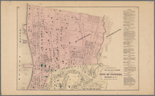
Map of the city of Buffalo
A new map of the city of Buff…
m
New national map of the Unite…
Johnson's Vermont, New Hampsh…
Plan of cemetery of the Everg…
Map of Dunkirk Harbor, showin…
Rail road map of New England,…
Map of the upper part of the …
General map accompanying the …
Map of the flats above Albany
A plan of the Manor of Philip…
Map of Buffalo Harbor, N.Y., …
New York to New Rochelle: fro…
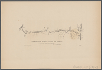
Communication between Albany …
m
Asher & Adams' new topographi…
Map of pr[op]erty of Union Av…
Colton's railroad & township …
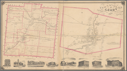
Town & Village of Leroy, Gene…
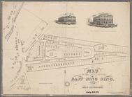
The Meadows: to be offered at…
Map of property at Van Buren …
Map of the town of Waterloo, …
Map of the village of Waterto…
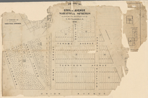
Town & village of Seneca Fall…
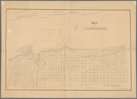
Map of Ogdensburgh
Plan of an extension of the v…
Map of the water pipes in the…
m
Post route map of the states …
G. Woolworth Colton's series …
Plan of the easterly part of …
Niagara Falls: from surveys e…
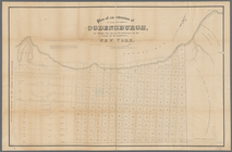
Town of Greenburgh: Westchest…
Portions of 2nd, 3rd, and 4th…
Map showing location of lands…
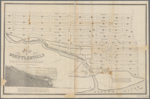
Map of Schuylerville: exhibit…
Southern New England
1
2
…
4
5
6
7
8
9
10
11
…
23
24
Previous
Next
1
2
…
4
5
6
7
8
9
10
11
…
23
24
Previous
Next