Click to visit the main New York Public Library Homepage
The New York Public Library
Digital Collections
About Digital Collections
Browse
Search only public domain materials
Items
Collections
Divisions
Home
Search
Browse
About
Search only public domain materials
Items
Collections
Divisions
Digital Collections
Using Images
Using Data
Search
Filtered search
Show filters
Hide filters
Show Only Public Domain
topic
x
Real property
Landowners
14
Administrative and political divisions
8
Railroads
3
Rivers
3
More
Less
name
G.M. Hopkins & Co
108
G.W. Bromley & Co
37
Dripps, M. (Matthew)
10
Miller & Co
3
Perris, William
2
More
Less
collection
Atlases of New York City
145
Maps of New York City and State
30
place
x
Brooklyn (New York, N.Y.)
New York (State)
175
New York
174
New York (N.Y.)
8
Brooklyn
5
More
Less
genre
Maps
167
Cadastral maps
7
Title pages
6
Manuscript maps
3
Prospectuses
2
More
Less
publisher
G.M. Hopkins & Co
108
G. W. Bromley & E. Robinson
37
M. Dripps
8
publisher not identified
5
s.n
4
More
Less
division
Map Division
175
type
cartographic
167
text
8
Date Range
to
175 results found
Filtering on:
x
Date
: 1838 - 1885
x
Place
: Brooklyn (New York, N.Y.)
x
Topic
: Real property
Sort by:
Title
Date created
Date digitized
Sequence
m
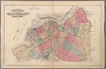
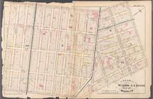
Topographical map of New York…
m
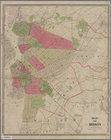
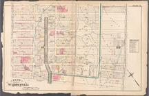
Map of the City of Brooklyn a…
m
Peremptory sale of a suburban…
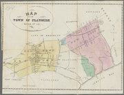
Map of the town of Flatbush, …
m
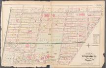
Map of Kings and part of Quee…
Map of the "Hunter Fly Farm" …
Topographical map of New York…
A plott of ye situations of t…
A map of the village of Willi…
Map of property on Brooklyn H…
m
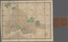
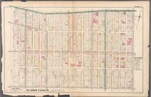
Map of the city of Brooklyn, …
Map of part of the Jackson Ho…
m
Plan of the city of Brooklyn,…
m
Plan of the city of Brooklyn,…
m
Plan of property situate in t…
m
Map of the route of the New Y…
m
Map of Brooklyn and vicinity
Map of Brooklyn and vicinity
m
Brooklyn City Hall
m
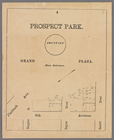
Prospect Park, plaza lots
m
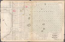
Map of Kings County N.Y.
m
Map of Brooklyn and vicinity
m
Map of Brooklyn and vicinity
Map of the homestead of the l…
Map of Brooklyn and vicinity
m
Map of Brooklyn and vicinity
m
Higginson's plan of the city …
Map of property belonging to …
Map of the Eureka Basin, incl…
Map of property owned by Fran…
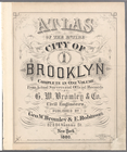
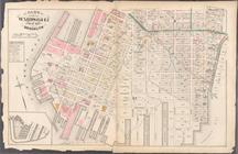
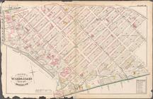
Atlas of the entire city of B…
Outline & Index Map of Brookl…
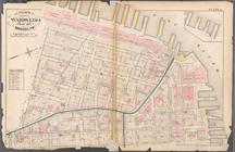
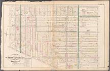
Plate 1:Bounded by Furman Str…
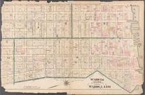
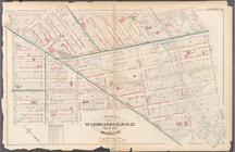
Plate 2: Bounded by Adams Str…
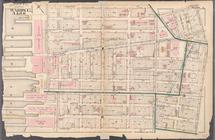
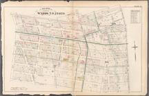
Plate 3: Bounded by Pierpont …
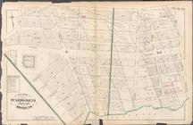
Plate 4: Bounded by Smith Str…
Plate 5: Bounded by Baltic St…
Plate 6: Bounded by Clinton A…
Plate 7: Bounded by Flushing …
Plate 8: Bounded by De Kalb A…
Plate 9: Bounded by Fulton St…
Plate 10: Bounded by Fulton S…
Plate 11: Bounded by Park Pla…
Plate 12: Bounded by Fifth Av…
Plate 13: Bounded by 11th Str…
Plate 14: Bounded by Third Av…
Plate 15: Bounded by Congress…
Plate 16: Bounded by Bowne St…
Plate 17: Bounded by 21st Str…
Plate 20: Bounded by S. 11th …