Click to visit the main New York Public Library Homepage
The New York Public Library
Digital Collections
About Digital Collections
Browse
Search only public domain materials
Items
Collections
Divisions
Home
Search
Browse
About
Search only public domain materials
Items
Collections
Divisions
Digital Collections
Using Images
Using Data
Search
Filtered search
Show filters
Hide filters
Show Only Public Domain
topic
x
Real property
Landowners
122
Administrative and political divisions
38
Railroads
19
Cities and towns
12
More
Less
name
Dripps, M. (Matthew)
20
Smith, Robert Pearsall, 1827-1898
16
Miller & Co
12
Pease, Richard H., 1813-1869
7
French, J. H. (John Homer), 1824-1888
6
More
Less
collection
x
Maps of New York City and State
place
New York (State)
185
New York
65
New York (N.Y.)
37
Brooklyn (New York, N.Y.)
30
Manhattan (New York, N.Y.)
13
More
Less
genre
Maps
186
Cadastral maps
104
Manuscript maps
13
Facsimiles
2
Topographic maps
2
More
Less
publisher
publisher not identified
22
M. Dripps
15
s.n
7
J.B. Beers & Co
6
Publisher not identified
4
More
Less
division
Map Division
186
type
cartographic
183
still image
6
text
2
Date Range
to
186 results found
Filtering on:
x
Date
: 1838 - 1885
x
Collection
: Maps of New York City and State
x
Topic
: Real property
For more collection details, visit the
Maps of New York City and State collection page
.
Sort by:
Title
Date created
Date digitized
Sequence
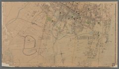
Property in the towns of Cast…
Map of property in the 19th w…
m
Topographical map of New York…
m
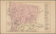
Map of the City of Brooklyn a…
m
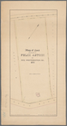
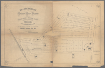
Peremptory sale of a suburban…
Flushing
m
Map of the southern part of W…
m
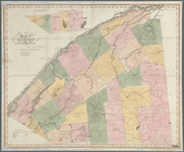
Map of Ulster County, New York
m
Map of Washington County, New…
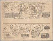
Map of the port & vicinity of…
m
Map of Clinton Co., New York:…
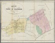
Map of the town of Flatbush, …
m
Map of Dutchess Co., New York…
m
Map of Kings and part of Quee…
m
Map of Albany County, New Yor…
Map of part of the Manor of P…
Map of the town of Eastcheste…
Map of the "Hunter Fly Farm" …
A map of part of the land in …
Map of Long Island: showing t…
Map of the head waters of the…
Map of the River Niagara and …
A map of a tract of land in t…
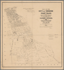
Map of the city of Yonkers, F…
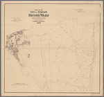
Map of the city of Yonkers, S…
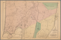
Southern part of Yonkers, and…
A new map of the city of Buff…
A plan of the Manor of Philip…
Map of pr[op]erty of Union Av…
Map of the village of Lyon Mo…
The Meadows: to be offered at…
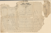
Town & village of Seneca Fall…
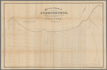
Map of Ogdensburgh
Plan of an extension of the v…
Plan of the easterly part of …
Town of Greenburgh: Westchest…
Portions of 2nd, 3rd, and 4th…
Atherton, St. Lawrence County…
Map of land belonging to Feli…
Map of Richland, Oswego Co. N…
Portions of 1st, 2nd, and 3rd…
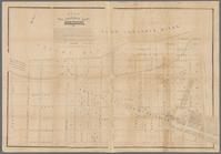
Topographical map of New York…
m
Map of the city of Poughkeeps…
m
Map of Suffolk Co., L.I., New…
m
Map of Tioga County, New York…
Map of lands in the town of Y…
Town & village of Ovid, Senec…
m
Map of choice building sites …
Map showing location of lands…
Map of the County of St. Lawr…