Click to visit the main New York Public Library Homepage
The New York Public Library
Digital Collections
About Digital Collections
Browse
Search only public domain materials
Items
Collections
Divisions
Home
Search
Browse
About
Search only public domain materials
Items
Collections
Divisions
Digital Collections
Using Images
Using Data
Search
Filtered search
Show filters
Hide filters
Show Only Public Domain
topic
Real property
27
Landowners
12
Maps
5
Early works to 1800
4
Facsimiles
3
More
Less
name
Burr, David H., 1803-1875
26
Rawdon, Clark & Co
26
Rawdon, Wright & Co
26
Stone & Clark Republishers
26
New York (State). Surveyor General
24
More
Less
collection
Atlases of the United States
26
Maps of North America
10
Maps of New York City and State
8
Africa septentrionalis
1
I. N. Phelps Stokes Collection of American Historical Prints
1
More
Less
place
New York (N.Y.)
29
New York Metropolitan Area
26
New York (State)
23
New Netherland
4
United States
4
More
Less
genre
Maps
47
Atlases
26
Early maps
4
Facsimiles
4
Geological maps
2
More
Less
publisher
Stone and Clark,
26
publisher not identified
7
A. Arrowsmith
1
Government Printing Office
1
H.S. Tanner ; T.R. Tanner
1
More
Less
division
Map Division
44
Schomburg Jean Blackwell Hutson Research and Reference Division
1
Schomburg Manuscripts, Archives and Rare Books Division
1
Wallach Division: Print Collection
1
type
x
cartographic
Date Range
to
47 results found
Filtering on:
x
Date
: 1841 - 1841
x
Type
: cartographic
Sort by:
Title
Date created
Date digitized
Sequence
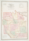
Map of the Oregon Territory
Map of Virginia and West Virg…
Map of Sacramento River and b…
Map of Presqu'ile Bay or Erie…
Georgia and Alabama
Ticonderoga and its dependenc…
A diagram of the State of Ala…
Plan of Lowell Cemetery: as d…
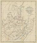
Nieu Nederlandt
Map of New Netherland which w…
m
Niev Nederlandt
A geological map of Massachus…
Map of New Netherland
Strangers guide through the c…
Map of the village of Flushin…
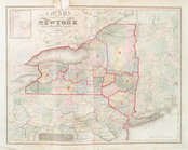
Map of the state of New York …
Map of the state of New-York …
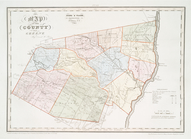
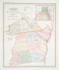
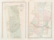
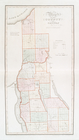
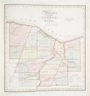
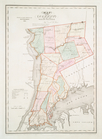
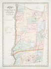
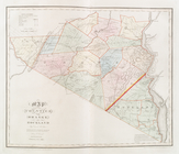
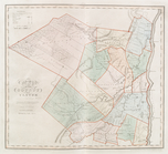
Map of the county of Greene
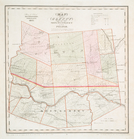
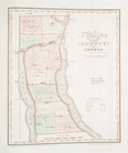
Map of the county of Columbia
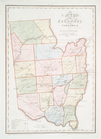
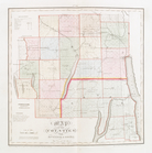
Map of the County of Renssela…
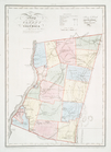
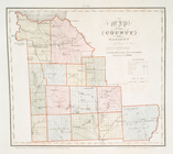
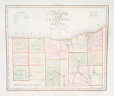
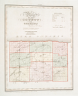
Map of the counties of Albany…
Map of the county of Montgome…
Map of the county of Saratoga
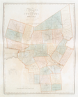
Map of the city and county of…
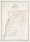
Map of the county of Herkimer
Map of the county of Oneida
Map of the county of Madison
Map of the county of Onondaga
Map of the county of Cayuga
Map of the county of Seneca
Map of the counties of Ontari…
Map of the county of Wayne
Map of the county of Monroe
Map of the county of Orleans
Map of the county of Niagara
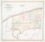
Map of the county of Suffolk
Map of the county of Erie
Map of the county of Westches…
Map of the counties of Dutche…
Map of the counties of Orange…
Map of the county of Ulster
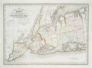
Map of the counties of New Yo…
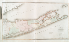
Mitchell's travellers guide t…
1841, showing the dates of th…
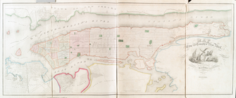
Topographical map of the city…
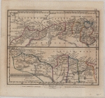
Africa septentrionalis
Africa North East of the Cape…
End of results
|
Top