Click to visit the main New York Public Library Homepage
The New York Public Library
Digital Collections
About Digital Collections
Browse
Search only public domain materials
Items
Collections
Divisions
Home
Search
Browse
About
Search only public domain materials
Items
Collections
Divisions
Digital Collections
Using Images
Using Data
Search
Filtered search
Show filters
Hide filters
Show Only Public Domain
topic
Real property
23
Administrative and political divisions
22
Maps
11
Landowners
10
Railroads
10
More
Less
name
Miller & Co
8
Smith, J. Calvin (John Calvin)
8
Colton, J. H. (Joseph Hutchins), 1800-1893
6
Sherman & Smith
6
United States Coast Survey
6
More
Less
collection
x
Maps of New York City and State
place
New York (State)
60
New York (N.Y.)
49
Manhattan (New York, N.Y.) -- Maps
21
New York
21
Brooklyn (New York, N.Y.)
18
More
Less
genre
Maps
106
Facsimiles
6
Early maps
4
Cadastral maps
3
Geological maps
2
More
Less
publisher
publisher not identified
7
s.n
5
J. Disturnell
3
Survey of the Coast of the United States
3
City Corporation?,
2
More
Less
division
Map Division
106
type
x
cartographic
text
4
Date Range
to
106 results found
Filtering on:
x
Date
: 1841 - 1849
x
Collection
: Maps of New York City and State
x
Type
: cartographic
For more collection details, visit the
Maps of New York City and State collection page
.
Sort by:
Title
Date created
Date digitized
Sequence
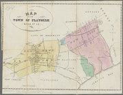
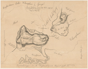
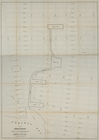
Map of the town of Flatbush, …
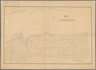
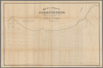
Map of Ogdensburgh
Plan of an extension of the v…
Mining district of Rossie
Ticonderoga and its dependenc…
Nieu Nederlandt
Van Der Donck's map of New Ne…
Map of New Netherland which w…
m
Niev Nederlandt
Map of New Netherland
March of the Queens Rangers: …
m
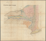
Geological map of the State o…
A map of the confluence of th…
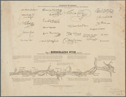
Map of Rensselaers Wyck, anno…
Agricultural and geological m…
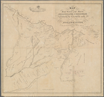
Map of the head waters of the…
A chorographical map of the p…
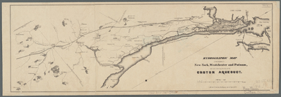
Hydrographic map of the count…
Geology of the Genesee River
A map of the Genesee lands in…
Onondaga County & adjacent te…
A chorographical map of the p…
A map of the Genesee country:…
Distance map of the state of …
Map of the country thirty thr…
m
Wade & Croome's panorama of t…
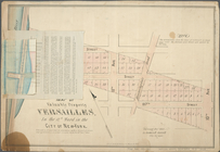
Map of Garret Nostrand's farm…
A view of Collect Pond and it…
A view of Collect Pond and it…
m
Map of valuable property at V…
Map of the country thirty thr…
Map of the country thirty mil…
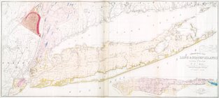
Map of New-York Bay and Harbo…
Strangers guide through the c…
A map of the village of Willi…
Map of the state of New York …
m
Plan for the drainage of that…
Plan[s] of Majr. Douglas's re…
m
Geological map of Long & Stat…
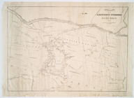
Route of the Albany & West St…
Green-wood cemetery
Albany Rural Cemetery
City of New-York
Map of the meetings constitut…
The Empire State, New York : …
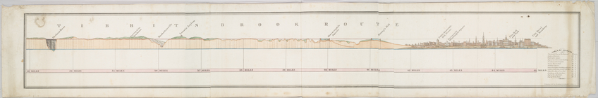
Tibbits Brook route.
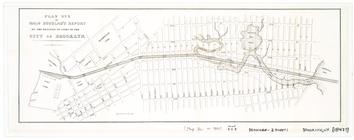
Map and plan to illustrate th…
Kingstone.
Albany
Map of New-York Bay and Harbo…