Click to visit the main New York Public Library Homepage
The New York Public Library
Digital Collections
About Digital Collections
Browse
Search only public domain materials
Items
Collections
Divisions
Home
Search
Browse
About
Search only public domain materials
Items
Collections
Divisions
Digital Collections
Using Images
Using Data
Search
Filtered search
Show filters
Hide filters
Show Only Public Domain
topic
Waterfalls
1755
Tourism
1369
Parks
1149
Rivers
479
Real property
460
More
Less
name
E. & H.T. Anthony (Firm)
1241
Lyon, Robert, 1810-1858
388
Curtis, George E., 1830-1910
360
Barker, George, 1844-1894
356
Bierstadt Brothers
316
More
Less
collection
Robert N. Dennis collection of stereoscopic views
8977
Wallach Division Picture Collection
666
Photographic views of the United States
435
The Asmonean
388
Atlases of New York City
327
More
Less
place
x
New York (State)
New York
3663
New York (N.Y.)
3078
Niagara Falls (N.Y. and Ont.)
2458
Manhattan (New York, N.Y.)
2273
More
Less
genre
Photographs
9683
Stereographs
8977
Prints
755
Maps
701
Newspapers
388
More
Less
publisher
Robert Lyon
388
Baker & Record
276
R.D. Crum
144
E. & H.T. Anthony (Firm)
126
Perris & Browne
124
More
Less
division
Wallach Division: Photography Collection
9135
Map Division
574
Milstein Division
481
Wallach Division: Picture Collection
429
Wallach Division: Print Collection
389
More
Less
type
still image
11171
cartographic
694
text
498
Date Range
to
11,946 results found
Filtering on:
x
Date
: 1844 - 1865
x
Place
: New York (State)
Sort by:
Title
Date created
Date digitized
Sequence
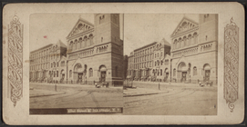
1-14 Wall Street
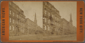
10 W. 54th St., N.Y.
m
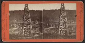
100 ft. derricks.
m
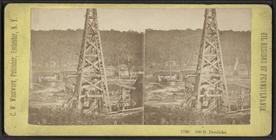
100 ft. derricks.
m
116th st. depot, New York ele…
120 William Street. The Rigg…
m
13 in mortar West Point.
m
14th st station 6th ave.
m
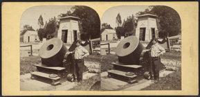
15 in Rodman gun West Point
181-193 Broadway, [pl. 1]
1863, West Point: [New York]
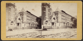
1st Refmd. Pres. Ch. 12th St…
1st & 2nd Wards. [Map bounded…
1st & 3rd Wards. [Map bounded…
m
1st M. Church, Utica.
m
1st Sister Island Bridge and …
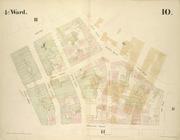
1st Ward. [Map bounded by Bow…
1st Ward. [Map bounded by Exc…
1st Ward. [Map bounded by Lib…
1st Ward. [Map bounded by Sto…
1st Ward. [Map bounded by Wes…
2nd & 4th Wards. [Map bounded…
m
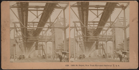
2nd Avenue Elevator & Bridge,…
m
2nd sectional view of Watkins…
2nd Ward. [Map bounded by Bro…
2nd Ward. [Map bounded by Pea…
2nd Ward. [Map bounded by Wil…
m
3 Mile Point, north side.
315-327 Broadway, [pl. 6]
m
34th Street looking west from…
m
34th Street looking west from…
m
34th Street looking west from…
m
38th Street., looking East fr…
m
3rd avenue elevated R.R., N. …
m
3rd Avenue Railroad Depot.
3rd Ward. [Map bounded by Col…
3rd Ward. [Map bounded by Ful…
3rd Ward. [Map bounded by Gre…
3rd Ward. [Map bounded by Rob…
3rd Ward. [Map bounded by Wes…
m
42nd St. & 5th Avenue N.Y.
m
42nd Street from 6th Ave. loo…
42nd Street looking west at s…
m
42nd Street, looking from nea…
m
4th Ave.
m
4th Ave., looking up.
4th Ward. [Map bounded by Cat…
4th Ward. [Map bounded by Gol…
4th Ward. [Map bounded by Pec…
4th Ward. [Map bounded by Roo…
1
2
3
4
5
6
7
8
9
10
…
47
48
Previous
Next
1
2
3
4
5
6
7
8
9
10
…
47
48
Previous
Next