Click to visit the main New York Public Library Homepage
The New York Public Library
Digital Collections
About Digital Collections
Browse
Search only public domain materials
Items
Collections
Divisions
Home
Search
Browse
About
Search only public domain materials
Items
Collections
Divisions
Digital Collections
Using Images
Using Data
Search
Filtered search
Show filters
Hide filters
Show Only Public Domain
topic
Parks
988
Real property
290
Transportation facilities
164
Landscape architecture facilities
155
Streets
126
More
Less
name
E. & H.T. Anthony (Firm)
304
Perris, William
260
Chase, W. M. (William M.), approximately 1818-1901
167
Perris & Browne
130
Green-Wood Cemetery (New York, N.Y.)
120
More
Less
collection
Robert N. Dennis collection of stereoscopic views
1708
Atlases of New York City
291
Wallach Division Picture Collection
249
The Eno collection of New York City views
98
Maps of New York City and State
49
More
Less
place
x
New York
New York (State)
2480
New York (N.Y.)
1847
Manhattan (New York, N.Y.)
1712
Central Park (New York, N.Y.)
930
More
Less
genre
Photographs
1723
Stereographs
1708
Maps
337
Prints
250
Views
78
More
Less
publisher
Perris & Browne
124
William Perris
105
E. & H.T. Anthony (Firm)
49
E. & H. T. Anthony
45
J.E. Serrell
23
More
Less
division
Wallach Division: Photography Collection
1707
Map Division
210
Wallach Division: Picture Collection
153
Wallach Division: Print Collection
131
Manuscripts and Archives Division
35
More
Less
type
still image
2107
cartographic
333
text
60
Date Range
to
2,482 results found
Filtering on:
x
Date
: 1847 - 1857
x
Place
: New York
Sort by:
Title
Date created
Date digitized
Sequence
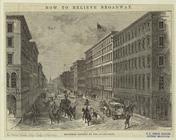
Broadway widened by the Arcad…
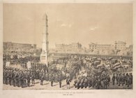
Ceremonies of dedication of t…
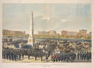
Ceremonies of dedication of t…
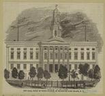
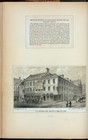
City Hall, built of white mar…
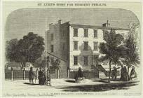
St. Luke's Home for Indigent …
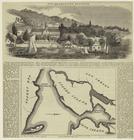
The present quarantine statio…
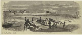
Site of the proposed fever st…
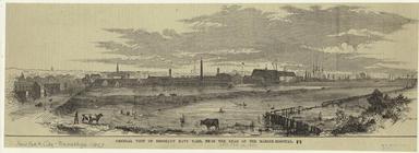
General view of Brooklyn Navy…
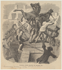
Tearing down statue of George…
Old houses, cor. Water and Pi…
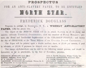
Prospectus for an anti-slaver…
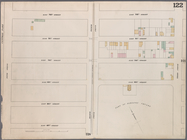
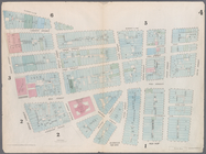
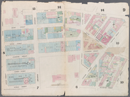
Map bounded by West 42nd Stre…
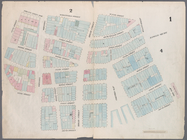
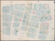
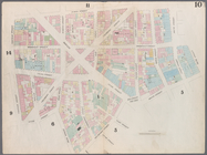
Map bounded by West 47th Stre…
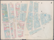
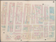
Map bounded by West 47th Stre…
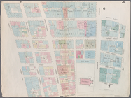
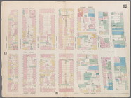
Map bounded by West 47th Stre…
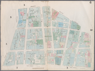
Map bounded by West 52nd Stre…
Map bounded by West 52nd Stre…
Map bounded by West 52nd Stre…
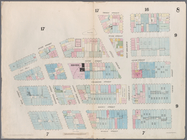
Map bounded by West 57th Stre…
Map bounded by West 57th Stre…
Map bounded by West 57th Stre…
Map bounded by West 57th Stre…
Map bounded by East 57th Stre…
Map bounded by East 57th Stre…
Map bounded by East 62nd Stre…
Map bounded by East 62nd Stre…
Map bounded by East 62nd Stre…
Map bounded by West 59th Stre…
Map bounded by West 62nd Stre…
Map bounded by West 64th Stre…
Map bounded by West 72nd Stre…
Map bounded by West 67th Stre…
Map bounded by West 72nd Stre…
Map bounded by East 67th Stre…
Map bounded by East 67th Stre…
Map bounded by East 72nd Stre…
Map bounded by East 72nd Stre…
Map bounded by East 72nd Stre…
Map bounded by Battery Place,…
Map bounded by Rector Street,…
Map bounded by Dey Street, Br…
Map bounded by Maiden Lane, S…
Map bounded by Frankfort Stre…
Map bounded by City Hall Squa…
Map bounded by Murray Street,…
Map bounded by Duane Street, …
Map bounded by Pearl Street, …
Map bounded by Chatham Street…
Map bounded by Chatham Square…
Map bounded by Division Stree…
1
2
3
4
5
6
7
8
9
10
Previous
Next
1
2
3
4
5
6
7
8
9
10
Previous
Next