Click to visit the main New York Public Library Homepage
The New York Public Library
Digital Collections
About Digital Collections
Browse
Search only public domain materials
Items
Collections
Divisions
Home
Search
Browse
About
Search only public domain materials
Items
Collections
Divisions
Digital Collections
Using Images
Using Data
Search
Filtered search
Show filters
Hide filters
Show Only Public Domain
topic
Real property
9026
Fire insurance
5176
Cities & towns
4886
Administrative and political divisions
761
Railroads
704
More
Less
name
Sanborn Map Company
4968
G.W. Bromley & Co
1108
Austro-Hungarian Monarchy. Militärgeographisches Institut
773
Bromley, George Washington
706
Bromley, Walter Scott
706
More
Less
collection
Atlases of New York City
8410
Atlases of the United States
3447
Maps of North America
2436
Maps of New York City and State
1617
Spezialkarte der Osterreichisch-Ungarischen Monarchie
773
More
Less
place
New York (State)
9980
New York
2653
Manhattan (New York, N.Y.)
1149
New York (N.Y.)
1135
Brooklyn (New York, N.Y.)
1090
More
Less
genre
Maps
17210
Atlases
3402
Topographic maps
1018
Cadastral maps
502
Prints
199
More
Less
publisher
Sanborn Map Company
5015
G.W. Bromley & Co
931
K.u.K. Militargeographisches Institut
773
E. Belcher Hyde
738
E. Robinson Co
334
More
Less
division
Map Division
16690
General Research Division
246
Schomburg Jean Blackwell Hutson Research and Reference Division
80
Manuscripts and Archives Division
71
George Arents Collection
51
More
Less
type
x
cartographic
text
260
still image
201
Date Range
to
17,400 results found
Filtering on:
x
Date
: 1848 - 1919
x
Type
: cartographic
Sort by:
Title
Date created
Date digitized
Sequence
m
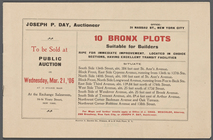
10 Bronx Plots suitable for B…
101st St. & 102nd St. and the…
10th ward, Jewish Quarter...
m
12,000 Square Miles around Ne…
m
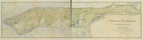
1609. The island of Manhattan…
1863, West Point: [New York]
1889, Larchmont Harbor, N.Y.:…
1892 Tallapoosa, Ga., Haralso…
1892, Harrison's map of Jerse…
m
1896 Connecticut River, Conn.…
1899 Railroad map of Ohio
m
1905 Library map of Manhattan…
m
1906 Library map of Manhattan…
m
1907 Library map of Manhattan…
m
1907 Library map of Manhattan…
1st & 2nd Wards. [Map bounded…
1st & 3rd Wards. [Map bounded…
1st Ward of NYC: [in draft du…
1st Ward. [Map bounded by Bow…
1st Ward. [Map bounded by Exc…
1st Ward. [Map bounded by Lib…
1st Ward. [Map bounded by Sto…
1st Ward. [Map bounded by Wes…
m
20th ward.
m
27th assembly district
2nd & 4th Wards. [Map bounded…
2nd Ward. [Map bounded by Bro…
2nd Ward. [Map bounded by Pea…
2nd Ward. [Map bounded by Wil…
m
[3 maps of New York and vicin…
m
301 Valuable Brooklyn Lots Be…
m
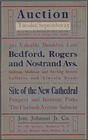
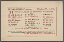
31 Choice Parcels of Improved…
m
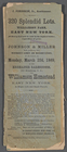
320 Splendid Lots. Williamson…
m
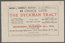
33 Choice Lots situate [sic] …
3rd Ward. [Map bounded by Col…
3rd Ward. [Map bounded by Ful…
3rd Ward. [Map bounded by Gre…
3rd Ward. [Map bounded by Rob…
3rd Ward. [Map bounded by Wes…
4 plans of the City of New Yo…
m
4 views and a plan of Dr. All…
m
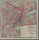
40 miles around New York. H. …
4th Senatorial District. 1,2,…
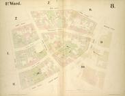
4th Ward. [Map bounded by Cat…
4th Ward. [Map bounded by Gol…
4th Ward. [Map bounded by Pec…
4th Ward. [Map bounded by Roo…
4th Ward.[Map bounded by Oak …
5th Senatorial District 8, 9,…
64 Central Park Lots, New Yor…
1
2
3
4
5
6
7
8
9
10
…
69
70
Previous
Next
1
2
3
4
5
6
7
8
9
10
…
69
70
Previous
Next