Click to visit the main New York Public Library Homepage
The New York Public Library
Digital Collections
About Digital Collections
Browse
Search only public domain materials
Items
Collections
Divisions
Home
Search
Browse
About
Search only public domain materials
Items
Collections
Divisions
Digital Collections
Using Images
Using Data
Search
Filtered search
Show filters
Hide filters
Show Only Public Domain
topic
Waterfalls
1674
Tourism
1336
Parks
1004
Rivers
455
Canyons
361
More
Less
name
E. & H.T. Anthony (Firm)
1014
Curtis, George E., 1830-1910
360
Barker, George, 1844-1894
355
Lyon, Robert, 1810-1858
310
Bierstadt, Charles, 1819-1903
308
More
Less
collection
Robert N. Dennis collection of stereoscopic views
7958
The Asmonean
310
Wallach Division Picture Collection
174
Atlases of New York City
161
Maps of New York City and State
132
More
Less
place
x
New York (State)
Niagara Falls (N.Y. and Ont.)
2367
New York (N.Y.)
2266
New York
2207
Manhattan (New York, N.Y.)
1606
More
Less
genre
Photographs
7973
Stereographs
7958
Newspapers
310
Maps
296
Prints
183
More
Less
publisher
Robert Lyon
310
Baker & Record
276
R.D. Crum
144
E. & H.T. Anthony (Firm)
126
S. R. Stoddard
120
More
Less
division
Wallach Division: Photography Collection
7957
Dorot Jewish Division
310
Map Division
299
Wallach Division: Picture Collection
119
Wallach Division: Print Collection
116
More
Less
type
still image
8581
text
356
cartographic
291
Date Range
to
8,906 results found
Filtering on:
x
Date
: 1849 - 1855
x
Place
: New York (State)
Sort by:
Title
Date created
Date digitized
Sequence
Results 751 - 800
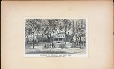
Residence of Abraham Van Nest…
m
New York in 1775 (Fort George…
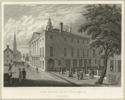
View of the old City Hall, Wa…
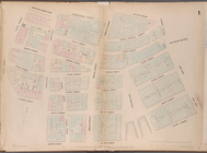
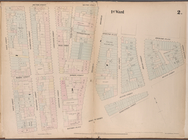
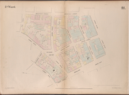
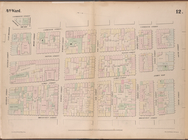
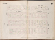
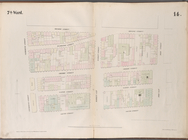
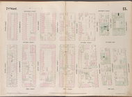
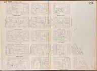
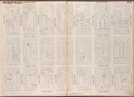
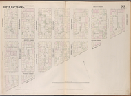
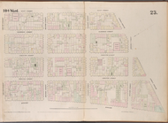
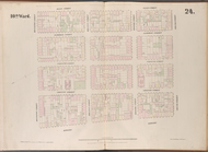
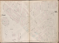
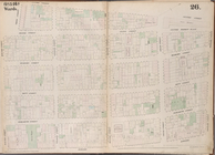
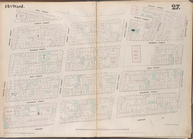
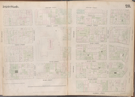
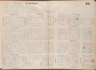
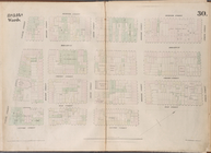
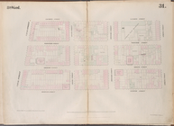
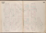
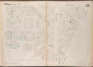
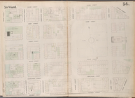
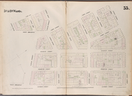
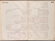
Map bounded by Bowling Green …
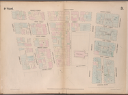
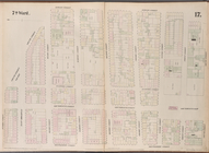
Map bounded by Liberty Street…
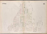
Map bounded by Rector Street,…
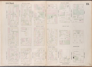
Map bounded by Liberty Street…
Map bounded by Gold Street, F…
Map bounded by Broadway, Park…
Map bounded by Vesey Street, …
Map bounded by West Street, R…
Map bounded by Greenwich Stre…
Map bounded by Nassau Street,…
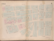
Map bounded by Cliff Street, …
Map bounded by Chatham Street…
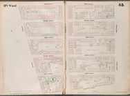
Map bounded by Division Stree…
Map bounded by Monroe Street,…
Map bounded by Division Stree…
Map bounded by Division Stree…
Map bounded by Division Stree…
Map bounded by Grand Street, …
Map bounded by Rivington Stre…
Map bounded by Rivington Stre…
Map bounded by Rivington Stre…
Map bounded by Grand Street, …
Map bounded by Bowery, Grand …
Map bounded by Bowery, Riving…
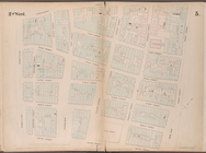
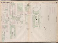
Map bounded by Chambers Stree…
Map bounded by Broome Street,…
Map bounded by Houston Street…
Map bounded by Leonard Street…
Map bounded by Canal Street, …
Map bounded by Spring Street,…
Map bounded by Spring Street,…
Map bounded by Houston Street…
Map bounded by Franklin Stree…
Map bounded by Vestry Street,…
Map bounded by Spring Street,…
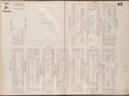
Map bounded by Hamersley Stre…
Map bounded by Spring Street,…
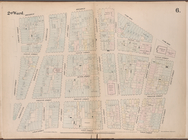
Map bounded by Hamersley Stre…
Map bounded by Houston Street…
Map bounded by Houston Street…
Map bounded by Houston Street…
Map bounded by Eighth Street,…
Map bounded by Sixth Street, …
Map bounded by Fifth Street, …
Map bounded by Fifth Street, …
Map bounded by East 15th Stre…
Map bounded by East 13th Stre…
1
2
3
4
5
6
7
8
9
10
…
35
36
Previous
Next
1
2
3
4
5
6
7
8
9
10
…
35
36
Previous
Next