Click to visit the main New York Public Library Homepage
The New York Public Library
Digital Collections
About Digital Collections
Browse
Search only public domain materials
Items
Collections
Divisions
Home
Search
Browse
About
Search only public domain materials
Items
Collections
Divisions
Digital Collections
Using Images
Using Data
Search
Filtered search
Show filters
Hide filters
Show Only Public Domain
topic
Antiquities
55
Russia, Southern
12
Pyramids
8
Discovery and exploration
7
Ruins
3
More
Less
name
Lepsius, Richard, 1810-1884
39
Monecke, C
21
Erbkam, Georg Gustav, 1811-1876
20
Uvarov, A. S. (Alekseĭ Sergeevich), graf, 1828-1884
12
Reubke, Gustav
9
More
Less
collection
Denkmaeler aus Aegypten und Aethiopien nach den Zeichnungen der von seiner Majestat dem Koenige von Preussen Friedrich Wilhelm IV nach diesen Landern gesendeten und in den Jahren 1842-1845 ausgefuhrten wissenschaftlichen Expedition ..
39
Sobranie kart i risunkov k izledovaniam o drevnostiakh IUzhnoi Rossii i beregov Chernago Moria
12
Histoire complète des voyages et découvertes en Afrique, depuis les siècles les plus reculés jusqu'a nos jours
7
Alʹbom risunkov k puteshestv⁾i︠i︡u na Amur, sovershennomu ot Sibirskago otd︠i︡ela Imperatorskago russkago geograficheskago obshchestva
4
Maps of North America
4
More
Less
place
Egypt
40
Black Sea Lowland (Ukraine)
12
Africa
7
Nubia
7
Iran
3
More
Less
genre
x
Prints
Maps
34
Illustrations
4
Atlases
1
Nautical charts
1
More
Less
publisher
Nicolaische Buchhandlung
39
A. Bertrand
7
Tip. K. Vulʹfa
4
Gide et J. Baudry
3
F.G. Moon,
2
More
Less
division
General Research Division
56
Rare Book Division
12
Map Division
5
Dorot Jewish Division
2
Wallach Division: Print Collection
2
More
Less
type
x
cartographic
still image
4
Date Range
to
78 results found
Filtering on:
x
Date
: 1849 - 1859
x
Genre
: Prints
x
Type
: cartographic
Sort by:
Title
Date created
Date digitized
Sequence
m
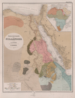
Atlas géologique
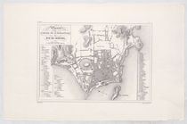
Planta da Cidade de Sebastiao…
Geognosticheskaia karta bereg…
Karta rasprostraneniia dreves…
Plan chasti goroda Aiguna
Plan Albazinskago ukrepleniia…
m
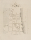
A map of Schuylkill County, P…
A plat exhibiting the state o…
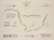
Reconnaissance of the western…
Map to illustrate the sketche…
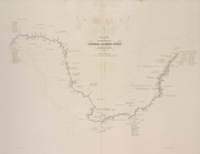
Map to Illustrate the Route o…
Map to illustrate the sketche…
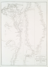
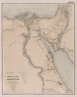
Übersichtskarte der Nilländer
General-Karte von Aegypten un…
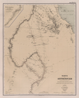
Karte von Aethiopien .
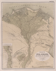
Karte vom Nil-Delta, dem Isth…
Karte des Nil-Thals in Mittel…
Karte der ostaegyptischen Wüs…
Karte der Sinai-Halbinsel.
Routen in der Sinai-Halbinsel.
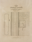
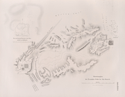
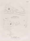
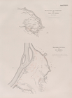
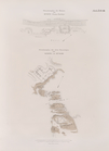
Situationsplan der Tempelruin…
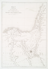
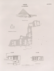
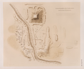
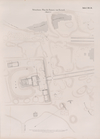
Situationsplan der Pyramiden-…
Situationsplan des Pyramidenf…
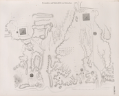
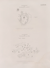
Giseh [Jîzah]: Grab 86., 87.,…
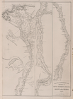
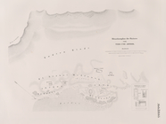
Pyramiden und Todtenfeld von …
Pyramiden und Todtenfeld von …
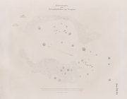
Nördlichste Ziegelpyramide vo…
Pyramiden und Todtenfeld von …
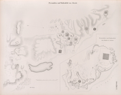
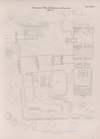
Situationsplan der Pyramiden-…
Situationsplan des Pyramiden-…
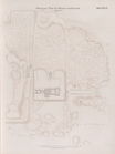
Fayyûm: Situationsplan des La…
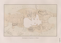
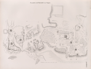
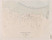
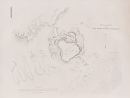
Situationsplan der Ruinen von…
Situationsplan der Ruinen von…
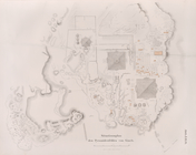
Situationsplan der Umgebungen…
Specialplan der Ruinen von El…
Situationsplan der Ruinen von…
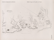
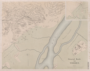
General Karte von Theben [The…
Situations-Plan der Ruinen vo…
Situations-Plan der Ruinen vo…
Situations-Plan der Ruinen vo…
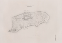
Grundriss der Insel Philae.
Situationsplan der Ruinen von…
Situationsplan des Pyramidenf…
Situationsplan des Pyramidenf…
Situationsplan von Berg Barka…
Situationsplan des Pyramidenf…
Situationsplan von der Ruinen…
Situationsplan von der Ruinen…
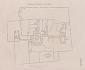
Situationsplan der Gebäuderes…
Grundplan der Gebäudeanlagen …