Click to visit the main New York Public Library Homepage
The New York Public Library
Digital Collections
About Digital Collections
Browse
Search only public domain materials
Items
Collections
Divisions
Home
Search
Browse
About
Search only public domain materials
Items
Collections
Divisions
Digital Collections
Using Images
Using Data
Search
Filtered search
Show filters
Hide filters
Show Only Public Domain
topic
Real property
31
Landowners
26
Administrative and political divisions
9
Geology
9
Railroads
8
More
Less
name
Gavit, John E., 1817-1874
6
Ackerman Lithr
5
Pease, Richard H., 1813-1869
5
Foster, J. W. (John Wells), 1815-1873
4
Walling, Henry Francis, 1825-1888
4
More
Less
collection
Maps of North America
67
Maps of New York City and State
22
place
New York (State)
21
Massachusetts
15
Pennsylvania
9
Michigan
8
Boston
5
More
Less
genre
Maps
89
Cadastral maps
22
Geological maps
8
Aerial views
2
Nautical charts
2
More
Less
publisher
x
publisher not identified
Lith of R.H. Pease
2
Engraved & Printed by J. E.Gavit
1
Lith. by Berggoetz & Co
1
division
Map Division
89
type
x
cartographic
still image
2
text
2
Date Range
to
89 results found
Filtering on:
x
Date
: 1849 - 1859
x
Publisher
: publisher not identified
x
Type
: cartographic
Sort by:
Title
Date created
Date digitized
Sequence
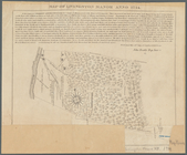
A map of part of the land in …
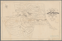
Map of Livingston Manor anno …
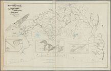
A map of the state of Virgini…
Part of New Jersey : embracin…
Map of the Albany Rural Cemet…
Map of the town of Huron, Mic…
Map of routes & distances to …
m
Military map of Nebraska and …
Americae septentrionalis pars…
Map of the United States and …
Atherton, St. Lawrence County…
Map of part of Orange County,…
Map of Venango County, Pennsy…
Skeleton map of the overland …
Plan of the cemetery of Mount…
Chengwatana, Pine County, M.T…
Map of the city of Davenport …
Plan of extension of Devonshi…
Map & profile of the Lake Ont…
Plan of extension of Devonshi…
Profiles of the canals and ra…
Superior, Douglass County, Wi…
Railway guide for Illinois : …
Map of the Clinton County Coa…
Map of the town of Raynham, B…
Map of the head waters of the…
Map of the town of Fairhaven,…
m
Superior, Douglas County, Wis…
Map of the city of Concord, N…
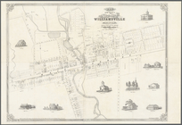
Map of the village of William…
Plan of the cemetery of Mount…
Map of the town of Tiverton, …
Map of parts of Boston Harbor…
m
Map of Albany County, New Yor…
Connecticut
Survey of the Battery
m
The Wyoming Coal Field and it…
Survey of the mouth of Clinto…
A map of a tract of land in t…
Map of the town of Natick, Mi…
A plan of the salt marsh and …
m
Lands in the State of North C…
Map of the City of New York: …
A map of part of the Province…
Map of the New-Haven water su…
m
Lands in the State of North C…
A prospective view of the bat…
Map of the city of Saint Paul…
Geological and sectional map …
Mail and passenger route from…