Click to visit the main New York Public Library Homepage
The New York Public Library
Digital Collections
About Digital Collections
Browse
Search only public domain materials
Items
Collections
Divisions
Home
Search
Browse
About
Search only public domain materials
Items
Collections
Divisions
Digital Collections
Using Images
Using Data
Search
Filtered search
Show filters
Hide filters
Show Only Public Domain
topic
Real property
408
Nautical charts
152
Landowners
137
Administrative and political divisions
109
Fire insurance
104
More
Less
name
Perris, William
297
United States Coast Survey
168
Bache, A. D. (Alexander Dallas), 1806-1867
152
Perris & Browne
130
New York (N.Y.). Common Council
88
More
Less
collection
Maps of North America
501
Atlases of New York City
356
Maps of New York City and State
355
Cigarette cards
51
Denkmaeler aus Aegypten und Aethiopien nach den Zeichnungen der von seiner Majestat dem Koenige von Preussen Friedrich Wilhelm IV nach diesen Landern gesendeten und in den Jahren 1842-1845 ausgefuhrten wissenschaftlichen Expedition ..
39
More
Less
place
New York (State)
486
New York
332
Manhattan (New York, N.Y.)
288
New York (N.Y.)
156
Brooklyn (New York, N.Y.)
77
More
Less
genre
Maps
1322
Nautical charts
134
Cadastral maps
112
Prints
78
Bathymetric maps
67
More
Less
publisher
William Perris
142
Perris & Browne
124
U.S. Coast Survey
90
publisher not identified
89
U.S. Coast Survey Office
42
More
Less
division
Map Division
1095
General Research Division
62
George Arents Collection
51
Rare Book Division
13
Milstein Division
5
More
Less
type
x
cartographic
still image
93
text
71
Date Range
to
1,372 results found
Filtering on:
x
Date
: 1849 - 1859
x
Type
: cartographic
Sort by:
Title
Date created
Date digitized
Sequence
1st & 2nd Wards. [Map bounded…
1st & 3rd Wards. [Map bounded…
1st Ward of NYC: [in draft du…
1st Ward. [Map bounded by Bow…
1st Ward. [Map bounded by Exc…
1st Ward. [Map bounded by Lib…
1st Ward. [Map bounded by Sto…
1st Ward. [Map bounded by Wes…
2nd & 4th Wards. [Map bounded…
2nd Ward. [Map bounded by Bro…
2nd Ward. [Map bounded by Pea…
2nd Ward. [Map bounded by Wil…
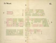
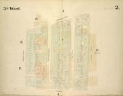
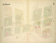
3rd Ward. [Map bounded by Col…
3rd Ward. [Map bounded by Ful…
3rd Ward. [Map bounded by Gre…
3rd Ward. [Map bounded by Rob…
3rd Ward. [Map bounded by Wes…
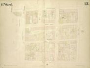
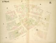
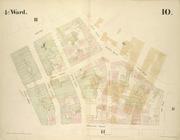
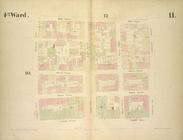
4th Ward. [Map bounded by Cat…
4th Ward. [Map bounded by Gol…
4th Ward. [Map bounded by Pec…
4th Ward. [Map bounded by Roo…
4th Ward.[Map bounded by Oak …
m
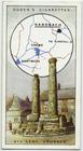
9th cent. crosses.
A chart of the coast of Ameri…
A chorographical map of the p…
A chorographical map of the p…
A correct map of the Bay of S…
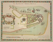
A description of the towne of…
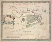
A description of the towne of…
A map of a tract of land in t…
A map of Maryland and Virgini…
A map of part of the land in …
A map of part of the Province…
m
A map of Schuylkill County, P…
A map of the city of Providen…
A map of the Genesee country:…
A map of the Genesee lands in…
A map of the Manor Renselaerw…
A map of the New England stat…
A map of the original allotme…
A map of the state of Virgini…
A map of the towns of Livings…
A map of the White Mountains …
A new county map of the state…
m
A new map of Arkansas with it…
A new map of Central America …
A new map of the city of Buff…
A new map of the state of Cal…
A new map of the state of Ohio
A new map of the United State…
1
2
3
4
5
6
Previous
Next
1
2
3
4
5
6
Previous
Next