Click to visit the main New York Public Library Homepage
The New York Public Library
Digital Collections
About Digital Collections
Browse
Search only public domain materials
Items
Collections
Divisions
Home
Search
Browse
About
Search only public domain materials
Items
Collections
Divisions
Digital Collections
Using Images
Using Data
Search
Filtered search
Show filters
Hide filters
Show Only Public Domain
topic
Real property
1447
Business enterprises
349
Administrative and political divisions
342
Landowners
289
Railroads
283
More
Less
name
Beers, F. W. (Frederick W.)
483
Perris, William
309
United States Coast Survey
246
Everts, Ensign & Everts
231
Bache, A. D. (Alexander Dallas), 1806-1867
197
More
Less
collection
Atlases of the United States
1487
Maps of North America
1277
Atlases of New York City
695
Maps of New York City and State
676
Atlases, gazetteers, guidebooks and other books
56
More
Less
place
New York (State)
1743
New York
464
Manhattan (New York, N.Y.)
364
New York (N.Y.)
279
United States
228
More
Less
genre
x
Maps
Atlases
1456
Cadastral maps
232
Nautical charts
177
Bathymetric maps
93
More
Less
publisher
publisher not identified
204
William Perris
143
U.S. Coast Survey
129
Perris & Browne
124
Everts, Ensign & Everts
99
More
Less
division
Map Division
4073
George Arents Collection
51
General Research Division
32
Rare Book Division
27
Schomburg Jean Blackwell Hutson Research and Reference Division
12
More
Less
type
cartographic
4341
still image
134
text
115
Date Range
to
4,364 results found
Filtering on:
x
Date
: 1849 - 1876
x
Genre
: Maps
Sort by:
Title
Date created
Date digitized
Sequence
Results 1251 - 1300
Centennial map of Concord, 17…
Preliminary chart of Bass Riv…
Bass River Harbor, Massachuse…
The harbor of Holmes' Hole: t…
Map of Wareham River showing …
Map of the city of Lynn, Mass…
Preliminary chart of Gloucest…
Map of Lynn, Mass: (Diphtheri…
Map of Silver Lake on the Ply…
m
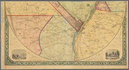
Map of the vicinity of Albany…
m
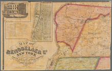
Map of Rensselaer Co., New Yo…
m
Gillette's map of Oneida Co.,…
m
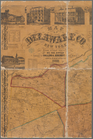
Map of Delaware Co., New York
m
Map of Orange and Rockland Co…
m
National map of the territory…
Map of the county of Plymouth…
Map of Franklin County, Massa…
m
Map of the territory of the U…
Map of French & English grant…
Map of the various channels f…
Disturnell's new map of the U…
m
New map of the state of New Y…
Profiles of the canals and ra…
Lake George, Fort Ticonderoga…
Map of the state of New York …
Map of Livingston Manor anno …
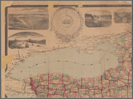
Map & profile of the Lake Ont…
Parts of 1st ward of the city…
m
Map of Hampden County, Massac…
m
Map of Ontario County, New Yo…
m
Lloyd's topographical map of …
Benham's new map of the city …
m
Clark's map of Fairfield Coun…
m
Map of Tarrytown, Irvington e…
Reconnaissance of the western…
Towns of West Farms and Morri…
Ancient Windham County: names…
Map of the Nipmuck or Nipnet …
Harbor of New London and the…
m
To his excellency William Try…
Hartford in 1640
Connecticut: with portions of…
Plan of the estate of Saml. O…
m
Territory of the United State…
m
Outline map showing a new rou…
Map of the United States and …
Map of the territory of the U…
Territory of the United State…
Plan of Groton Cemetery
[Map of eastern Cape Cod, Mas…
1
2
3
4
5
6
7
8
9
10
…
17
18
Previous
Next
1
2
3
4
5
6
7
8
9
10
…
17
18
Previous
Next