Click to visit the main New York Public Library Homepage
The New York Public Library
Digital Collections
About Digital Collections
Browse
Search only public domain materials
Items
Collections
Divisions
Home
Search
Browse
About
Search only public domain materials
Items
Collections
Divisions
Digital Collections
Using Images
Using Data
Search
Filtered search
Show filters
Hide filters
Show Only Public Domain
topic
Antiquities
42
Pyramids
8
Ruins
3
City planning
2
Dwellings
2
More
Less
name
Lepsius, Richard, 1810-1884
39
Monecke, C
21
Erbkam, Georg Gustav, 1811-1876
20
Reubke, Gustav
9
Kiepert, Heinrich, 1818-1899
8
More
Less
collection
Denkmaeler aus Aegypten und Aethiopien nach den Zeichnungen der von seiner Majestat dem Koenige von Preussen Friedrich Wilhelm IV nach diesen Landern gesendeten und in den Jahren 1842-1845 ausgefuhrten wissenschaftlichen Expedition ..
39
Voyage en Perse de mm. Eugène Flandin, peintre, et Pascal Coste, architecte: entrepris par ordre de m. le ministre des affaires étrangères, d'après les instructions dressées par l'Institut. Publié sous les auspices de m. le ministre de l'intérieur
3
Explanations and sailing directions to accompany the Wind and current charts,
2
Habitations ouvrières et agricoles, cités, bains, et lavoirs, sociétés alimentaires: détails de construction, formules représentant chaque espèce de maison et donnant son prix de revient en tous pays, statuts, règlements et contrats. Conseils hygiéniques par A. Clavel
2
Leslie's
1
More
Less
place
Egypt
39
Nubia
7
Iran
3
Karnak (Egypt)
3
Sinai (Egypt)
3
More
Less
genre
Prints
44
Maps
8
Illustrations
2
Nautical charts
2
Site plans
2
More
Less
publisher
Nicolaische Buchhandlung
39
Gide et J. Baudry
3
E.C. and J. Biddle
2
V. Dalmont
2
Arthus Bertrand
1
More
Less
division
x
General Research Division
type
x
cartographic
still image
1
Date Range
to
50 results found
Filtering on:
x
Date
: 1852 - 1858
x
Division
: General Research Division
x
Type
: cartographic
Sort by:
Title
Date created
Date digitized
Sequence
m
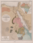
Atlas géologique
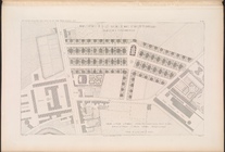
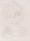
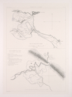
Plan d'ensemble de la cité ou…
Plan d'ensemble de la cité ou…
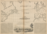
Map of the Submarine Atlantic…
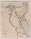
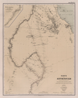
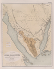
Übersichtskarte der Nilländer
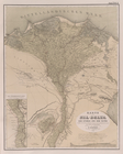
General-Karte von Aegypten un…
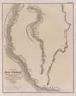
Karte von Aethiopien .
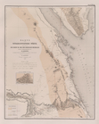
Karte vom Nil-Delta, dem Isth…
Karte des Nil-Thals in Mittel…
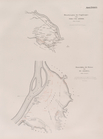
Karte der ostaegyptischen Wüs…
Karte der Sinai-Halbinsel.
Routen in der Sinai-Halbinsel.
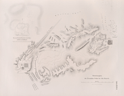
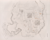
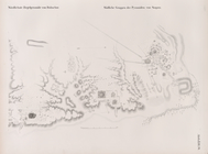
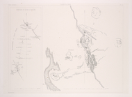
Situationsplan der Tempelruin…
Situationsplan der Pyramiden-…
Situationsplan des Pyramidenf…
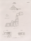
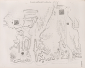
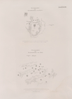
Giseh [Jîzah]: Grab 86., 87.,…
Pyramiden und Todtenfeld von …
Pyramiden und Todtenfeld von …
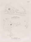
Nördlichste Ziegelpyramide vo…
Pyramiden und Todtenfeld von …
Situationsplan der Pyramiden-…
Situationsplan des Pyramiden-…
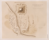
Fayyûm: Situationsplan des La…
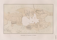
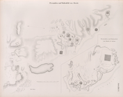
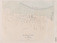
Situationsplan der Ruinen von…
Situationsplan der Ruinen von…
Situationsplan der Umgebungen…
Specialplan der Ruinen von El…
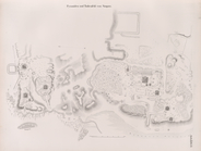
Situationsplan der Ruinen von…
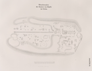
General Karte von Theben [The…
Situations-Plan der Ruinen vo…
Situations-Plan der Ruinen vo…
Situations-Plan der Ruinen vo…
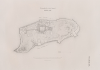
Grundriss der Insel Philae.
Situationsplan der Ruinen von…
Situationsplan des Pyramidenf…
Situationsplan des Pyramidenf…
Situationsplan von Berg Barka…
Situationsplan des Pyramidenf…
Situationsplan von der Ruinen…
Situationsplan von der Ruinen…
Situationsplan der Gebäuderes…
Grundplan der Gebäudeanlagen …
Situationsplan der Ruinen von…
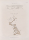
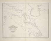
Carte des itinéraires suivis …
Serpoul-Zohab. Carte de l'anc…
Babylone. Carte itinéraire de…
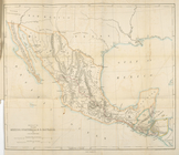
Route through Mexico, Guatema…
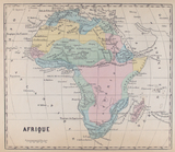
Afrique
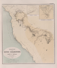
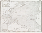
Gulf Stream and Drift
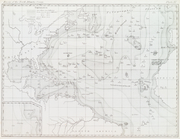
Basin of the North Atlantic O…
End of results
|
Top