Click to visit the main New York Public Library Homepage
The New York Public Library
Digital Collections
About Digital Collections
Browse
Search only public domain materials
Items
Collections
Divisions
Home
Search
Browse
About
Search only public domain materials
Items
Collections
Divisions
Digital Collections
Using Images
Using Data
Search
Filtered search
Show filters
Hide filters
Show Only Public Domain
topic
Real property
294
History
223
Houses
202
Streets
177
Parks
144
More
Less
name
DeBevoise, C. Manley
250
E. & H.T. Anthony (Firm)
227
Perris, William
167
Perris & Browne
142
Lyon, Robert, 1810-1858
119
More
Less
collection
Robert N. Dennis collection of stereoscopic views
1030
Wallach Division Picture Collection
491
Photographic views of the United States
435
Atlases of New York City
199
Emmet Collection of Manuscripts Etc. Relating to American History
189
More
Less
place
x
New York (State)
New York
1468
New York (N.Y.)
806
Manhattan (New York, N.Y.)
691
United States
547
More
Less
genre
Photographs
1723
Stereographs
1030
Prints
553
Maps
427
Newspapers
119
More
Less
publisher
Perris & Browne
124
Robert Lyon
119
D. Appleton and Company
55
C.K. Stone
42
F. Heppenheimer
24
More
Less
division
Wallach Division: Photography Collection
1189
Milstein Division
474
Wallach Division: Picture Collection
307
Map Division
299
Wallach Division: Print Collection
252
More
Less
type
still image
2619
cartographic
426
text
179
Date Range
to
3,092 results found
Filtering on:
x
Date
: 1855 - 1865
x
Place
: New York (State)
Sort by:
Title
Date created
Date digitized
Sequence
Results 501 - 550
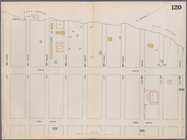
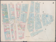
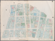
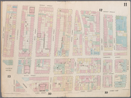
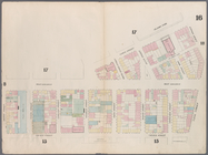
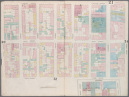
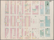
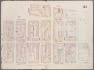
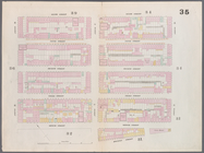
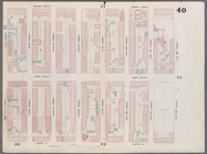
Map bounded by West 72nd Stre…
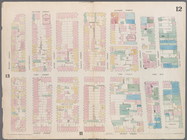
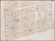
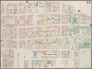
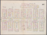
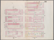
Map bounded by West 67th Stre…
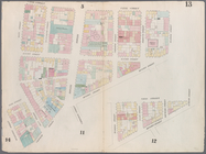
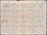
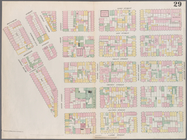
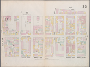
Map bounded by West 72nd Stre…
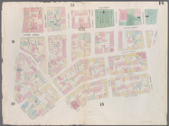
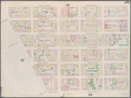
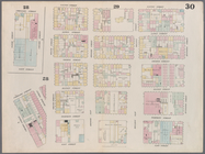
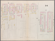
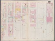
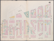
Map bounded by East 67th Stre…
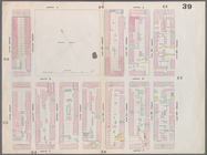
Map bounded by East 67th Stre…
Map bounded by East 72nd Stre…
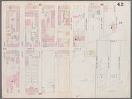
Map bounded by East 72nd Stre…
Map bounded by East 72nd Stre…
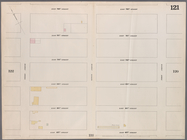
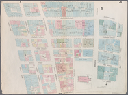
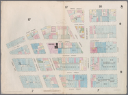
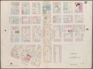
Map bounded by Battery Place,…
Map bounded by Rector Street,…
Map bounded by Dey Street, Br…
Map bounded by Maiden Lane, S…
Map bounded by Frankfort Stre…
Map bounded by City Hall Squa…
Map bounded by Murray Street,…
Map bounded by Duane Street, …
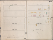
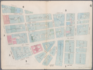
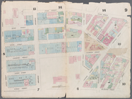
Map bounded by Pearl Street, …
Map bounded by Chatham Street…
Map bounded by Chatham Square…
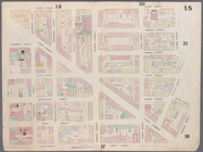
Map bounded by Division Stree…
Map bounded by Canal Street, …
Map bounded by Canal Street, …
Map bounded by Canal Street, …
Map bounded by Laight Street,…
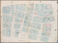
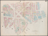
Map bounded by Laight Street,…
Map bounded by Spring Street,…
Map bounded by Hamersley Stre…
Map bounded by Hamersley Stre…
Map bounded by Houston Street…
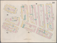
Map bounded by Spring Street,…
Map bounded by Broome Street,…
Map bounded by Houston Street…
Map bounded by Rivington Stre…
Map bounded by Rivington Stre…
Map bounded by Division Stree…
Map bounded by Henry Street, …
Map bounded by Rivington Stre…
Map bounded by Rivington Stre…
Map bounded by Houston Street…
Map bounded by Houston Street…
Map bounded by Houston Street…
Map bounded by 8th Street, Ea…
Map bounded by 6th Street, Av…
Map bounded by 5th Street, Av…
Map bounded by 5th Street, Fi…
Map bounded by East 15th Stre…
Map bounded by East 13th Stre…
Map bounded by East 12th Stre…
Map bounded by East 12th Stre…
Map bounded by East 20th Stre…
1
2
3
4
5
6
7
8
9
10
…
12
13
Previous
Next
1
2
3
4
5
6
7
8
9
10
…
12
13
Previous
Next