Click to visit the main New York Public Library Homepage
The New York Public Library
Digital Collections
About Digital Collections
Browse
Search only public domain materials
Items
Collections
Divisions
Home
Search
Browse
About
Search only public domain materials
Items
Collections
Divisions
Digital Collections
Using Images
Using Data
Search
Filtered search
Show filters
Hide filters
Show Only Public Domain
topic
x
Real property
Cities & towns
3188
Fire insurance
3188
Business enterprises
468
Landowners
246
More
Less
name
Sanborn Map Company
3188
Beers, F. W. (Frederick W.)
356
E. Robinson Co
256
Robinson, E. (Elisha)
248
Pidgeon, R. H. (Roger H.)
223
More
Less
collection
Atlases of New York City
3841
Atlases of the United States
1293
Maps of North America
237
Maps of New York City and State
151
place
New York (State)
5136
New York
646
Brooklyn (New York, N.Y.)
244
Manhattan (New York, N.Y.)
212
New York (N.Y.)
150
More
Less
genre
Maps
5332
Atlases
1290
Cadastral maps
286
Prints
69
Title pages
37
More
Less
publisher
Sanborn Map Company
3188
E. Robinson Co
209
F. W. Beers & Co
148
Perris & Browne
124
G.M. Hopkins & Co
108
More
Less
division
Map Division
5392
type
cartographic
5400
text
141
still image
24
Date Range
to
5,522 results found
Filtering on:
x
Date
: 1855 - 1891
x
Topic
: Real property
Sort by:
Title
Date created
Date digitized
Sequence
Results 251 - 300
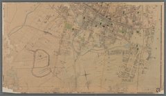
Town & village of Seneca Fall…
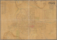
Map of City of Ithaca, N.Y.: …
Town of Greenburgh: Westchest…
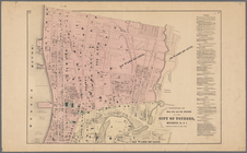
Portions of 2nd, 3rd, and 4th…
Atherton, St. Lawrence County…
Map of land belonging to Feli…
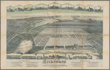
Riverhead, the home resort of…
Map of Richland, Oswego Co. N…
Portions of 1st, 2nd, and 3rd…
m
Topographical map of the Dist…
Map of the city of Waltham, M…
m
City of Washington, statistic…
Plan of Charlestown peninsula…
Map of Waldo County, Maine: f…
m
A topographical map of Lincol…
A map of the original allotme…
A map of the original allotme…
Map of Jersey City, Hoboken &…
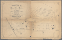
Map of building lots, on the …
m
Map of the city of Poughkeeps…
m
Map of Tolland County, Connec…
Map of the county of Berkshir…
m
Map of the county of Berkshir…
Map of the city of Washington…
Plan of burnt district (by fi…
Plan of lands belonging to th…
m
Map of the city of Boston and…
Spring Vale
North Berwick: [Maine]
North Berwick: [Maine]. Limin…
Map of the city of Taunton ma…
m
Map of the town of Norton, Br…
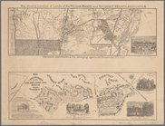
Plan showing land owned by th…
Map of Boston and vicinity
Map of Black Point property n…
Oil lands, Prentice Angell & …
The early purchasers of Hills…
m
Map of Suffolk Co., L.I., New…
m
Map of Tioga County, New York…
Map of lands in the town of Y…
Town & village of Ovid, Senec…
m
Map of choice building sites …
Map showing location of lands…
Map of Webster Lake, Franklin…
Plan of Bar Harbor, Mount Des…
m
A topographical map of Lincol…
Historical maps of Sanbornton
Historical map of Sanbornton
Plan of Suffolk Street Distri…
Plan of Church St. district: …
1
2
3
4
5
6
7
8
9
10
…
22
23
Previous
Next
1
2
3
4
5
6
7
8
9
10
…
22
23
Previous
Next