Click to visit the main New York Public Library Homepage
The New York Public Library
Digital Collections
About Digital Collections
Browse
Search only public domain materials
Items
Collections
Divisions
Home
Search
Browse
About
Search only public domain materials
Items
Collections
Divisions
Digital Collections
Using Images
Using Data
Search
Filtered search
Show filters
Hide filters
Show Only Public Domain
topic
Real property
9485
Fire insurance
5115
Cities & towns
5013
Libraries
2029
History
1242
More
Less
name
Sanborn Map Company
5094
New York Public Library
1982
G.W. Bromley & Co
1590
Sperr, Percy Loomis, 1890-1964
1381
New York Public Library. Branch Libraries
1006
More
Less
collection
Atlases of New York City
8133
Photographic views of New York City, 1870's-1970's, from the collections of the New York Public Library
4148
Robert N. Dennis collection of stereoscopic views
2992
Wallach Division Picture Collection
2910
New York Public Library Visual Materials
1977
More
Less
place
x
New York (State)
New York
17097
New York (N.Y.)
10050
Manhattan (New York, N.Y.)
5715
Brooklyn (New York, N.Y.)
1599
More
Less
genre
Photographs
12641
Maps
10759
Prints
3039
Stereographs
2992
Atlases
1889
More
Less
publisher
Sanborn Map Company
5008
G.W. Bromley & Co
1461
E. Belcher Hyde
557
Detroit Publishing Company
442
G.C. Hesselgren Pub. Co
301
More
Less
division
Map Division
10914
Milstein Division
6417
Wallach Division: Photography Collection
3950
Wallach Division: Picture Collection
1915
NYPL Archives
1852
More
Less
type
still image
18105
cartographic
10833
text
1182
notated music
22
moving image
7
Date Range
to
29,383 results found
Filtering on:
x
Date
: 1855 - 1929
x
Place
: New York (State)
Sort by:
Title
Date created
Date digitized
Sequence
Results 2251 - 2300
m
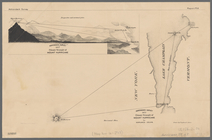
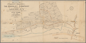
Map of the Catskill Mountains
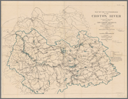
Plate I. Map of the watershed…
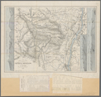
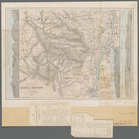
Adirondack survey, 1873: prim…
Van Loan's road map of the Ca…
m
Map of the Catskill Mountains
A topographical map of a part…
Map of the boundary line betw…
m
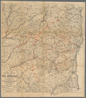
Topographical map of the stat…
Map of part of Bergen, Passai…
m
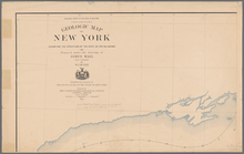
Preliminary geologic map of N…
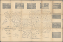
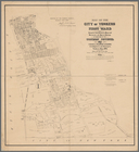
Map of the city of Yonkers, F…
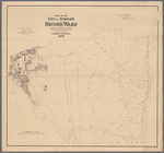
Map of the city of Yonkers, S…
m
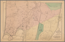
Map of the property of the Yo…
Southern part of Yonkers, and…
Plan of West Point
Northern coast of Long Island…
Plan of the Country Club Land…
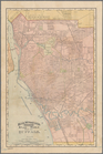
A new map of the city of Buff…
m
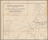
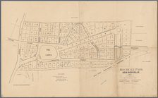
Village of New-Rochelle, New-…
Rochelle Park, New-Rochelle, …
Plan of cemetery of the Everg…
Map of Niagara Falls, suspens…
M[ap of par]t of the property…
Albany Rural Cemetery, 1884: …
Rand, McNally & Co.'s indexed…
Map of the flats above Albany
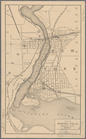
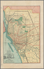
New map of the city of Buffalo
New York to New Rochelle: fro…
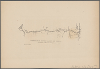
Communication between Albany …
m
Asher & Adams' new topographi…
m
Di shkheynim
m
Third anniversary festival of…
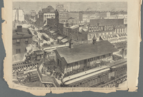
New York City --The heart of …
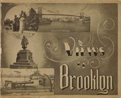
Views of Brooklyn, [Title pag…
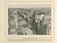
Fulton Street from Temple Bar…
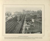
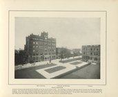
The Principal Business Section
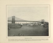
The Brooklyn Bridge
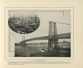
The Williamsburg Bridge
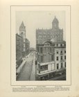
Johnson Street
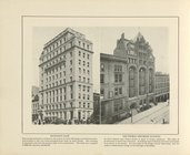
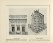
Mechanics Bank; The Thomas Je…
The Temple Bar Building ; The…
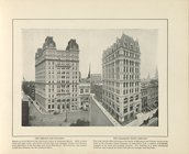
The Brooklyn Savings Bank
The Orpheum Theatre
Free Public Bath; The Hotel M…
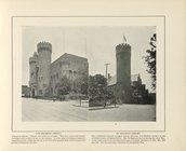
13th Regiment Armory; 23d Reg…
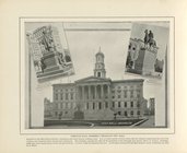
Borough Hall, Formerly Brookl…
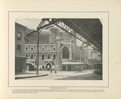
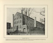
Raymond Street Jail
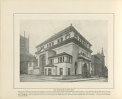
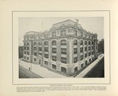
Manual Training High School
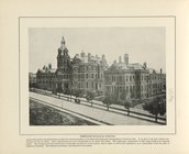
Pratt Institute
Methodist Episcopal Hospital
1
2
…
7
8
9
10
11
12
13
14
…
117
118
Previous
Next
1
2
…
7
8
9
10
11
12
13
14
…
117
118
Previous
Next