Click to visit the main New York Public Library Homepage
The New York Public Library
Digital Collections
About Digital Collections
Browse
Search only public domain materials
Items
Collections
Divisions
Home
Search
Browse
About
Search only public domain materials
Items
Collections
Divisions
Digital Collections
Using Images
Using Data
Search
Filtered search
Show filters
Hide filters
Show Only Public Domain
topic
Real property
147
Landowners
14
Nautical charts
13
Administrative and political divisions
10
Railroads
9
More
Less
name
Perris & Browne
130
Perris, William
130
Bache, A. D. (Alexander Dallas), 1806-1867
14
United States Coast Survey
14
Smith, M. L. (Martin Luther), 1819-1866
8
More
Less
collection
Atlases of New York City
162
Maps of North America
44
Maps of New York City and State
30
American slavery and colour
1
Atlases, gazetteers, guidebooks and other books
1
More
Less
place
New York (State)
148
Manhattan (New York, N.Y.)
133
New York
133
Massachusetts
9
United States
9
More
Less
genre
Maps
239
Cadastral maps
11
Nautical charts
10
Index maps
7
Title pages
7
More
Less
publisher
Perris & Browne
124
Perris & Browne
38
publisher not identified
9
U.S. Coast Survey Office
6
The Commissioners
5
More
Less
division
Map Division
108
Schomburg Manuscripts, Archives and Rare Books Division
1
type
x
cartographic
text
8
still image
3
Date Range
to
239 results found
Filtering on:
x
Date
: 1857 - 1857
x
Type
: cartographic
Sort by:
Title
Date created
Date digitized
Sequence
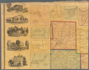
Warehouse for General Storage…
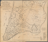
Town of Greenburgh: Westchest…
To his Excellency George Clin…
The harbor of Wood's Hole, Ma…
St. Louis Bay and Shieldsboro…
Skeleton map of the overland …
m
Schuyler County, New York, wi…
m
Reynolds' map of modern Londo…
Profiles of the canals and ra…
Profiles of the canals and ra…
Preliminary chart of Rappahan…
Preliminary chart of Hampton …
Preliminary chart of Frying P…
Preliminary chart no. 4 of th…
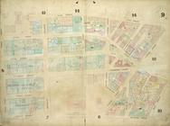
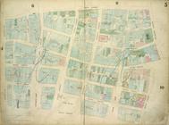
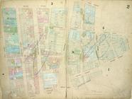
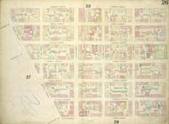
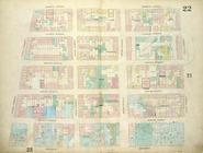
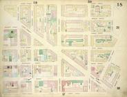
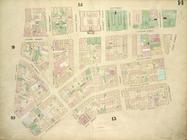
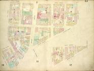
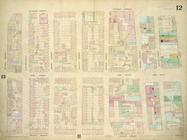
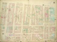
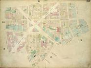
Plate: 21 Map bounded by W.Ho…
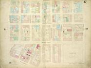
Plate 9: Map bounded by Pearl…
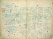
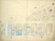
Plate 8: Map bounded by Duane…
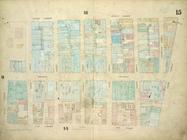
Plate 7: Map bounded by Murra…
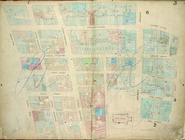
Plate 6: Map bounded by Broad…
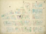
Plate 5: Map bounded by Gold …
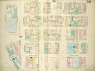
Plate 4: Map bounded by Maide…
Plate 3: Map bounded by Dey S…
Plate 30: Map bounded by Cann…
Plate 2: Map bounded by Recto…
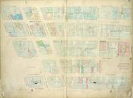
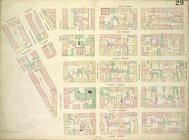
Plate 29: Map bounded by Mont…
Plate 28: Map bounded by Henr…
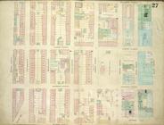
Plate 27: Map bounded by Mont…
Plate 26: Map bounded by Ludl…
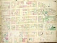
Plate 25: Map bounded by Bowe…
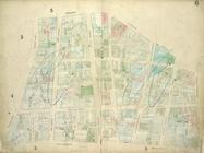
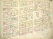
Plate 24: Map bounded by Cros…
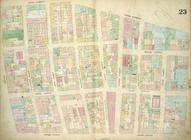
Plate 23: Map bounded by Cana…
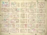
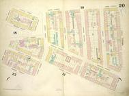
Plate 22: Map bounded by Thom…
Plate 20: Map bounded by Sull…
Plate 1: Map bounded by Bowli…
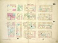
Plate 19: Map bounded by West…
Plate 18: Map bounded by Spri…
Plate 17: Map bounded by West…
Plate 16: Map bounded by West…
Plate 15: Map bounded by Chur…
Plate 14: Map bounded by Elm …
Plate 13: Map bounded by Cana…
Plate 12: Map bounded by Rutg…
Plate 11: Map bounded by Mark…
Plate 10: Map bounded by Jame…
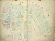
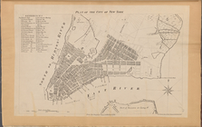
Plan of the City of New York.…
Plan of the City of New York …
Plan of the cemetery of Mount…
Plan of extension of Devonshi…
Plan of extension of Devonshi…
Plan of Boston comprising a p…