Click to visit the main New York Public Library Homepage
The New York Public Library
Digital Collections
About Digital Collections
Browse
Search only public domain materials
Items
Collections
Divisions
Home
Search
Browse
About
Search only public domain materials
Items
Collections
Divisions
Digital Collections
Using Images
Using Data
Search
Filtered search
Show filters
Hide filters
Show Only Public Domain
topic
Exhibitions
13718
Real property
10066
Fire insurance
5116
Cities & towns
5015
Streets
4879
More
Less
name
New York World's Fair (1939-1940 : New York, N.Y.)
13733
Sperr, Percy Loomis, 1890-1964
5854
Sanborn Map Company
5095
Colmer, Roy, 1935-2014
3122
Davies, Diana, 1938-
2517
More
Less
collection
New York World's Fair 1939 and 1940 Incorporated records
13630
Robert N. Dennis collection of stereoscopic views
10934
Photographic views of New York City, 1870's-1970's, from the collections of the New York Public Library
10829
Atlases of New York City
9634
Doors, NYC
3122
More
Less
place
x
New York (State)
New York
51476
New York (N.Y.)
29893
Manhattan (New York, N.Y.)
12997
Brooklyn (New York, N.Y.)
3075
More
Less
genre
Photographs
52271
Maps
12238
Stereographs
10934
Prints
2991
Atlases
1889
More
Less
publisher
Sanborn Map Company
5009
G.W. Bromley & Co
2051
MIT Press
942
E. Belcher Hyde
557
Detroit Publishing Company
442
More
Less
division
Manuscripts and Archives Division
17097
Wallach Division: Photography Collection
17074
Milstein Division
14707
Map Division
12388
NYPL Archives
2203
More
Less
type
still image
58673
cartographic
11381
text
1719
moving image
146
sound recording
44
More
Less
Date Range
to
70,934 results found
Filtering on:
x
Date
: 1857 - 1997
x
Place
: New York (State)
Sort by:
Title
Date created
Date digitized
Sequence
Results 1001 - 1050
Map showing location of lands…
Map of the country thirty thr…
Map of the country thirty thr…
Map of New York and vicinity …
Map of the country thirty thr…
New-York and vicinity as prop…
New map of the great metropol…
New York City and environs : …
Map of the Harlem River and S…
m
New guide map of New York Cit…
Hammond's new guide map of Ma…
Block line map of the heavy v…
m
Manhattan borough and part of…
m
Rand-McNally standard map of …
m
Stone and Williams Streets
m
Wall Street, showing East Riv…
m
Daily News Building, 42nd Str…
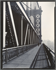
Manhattan Bridge, From Bowery…
m
Williamsburg Bridge, South Ei…
m
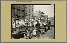
Travelling tin shop, Brooklyn…
m
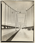
Triborough Bridge, (Cables)
m
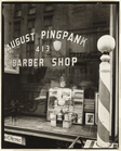
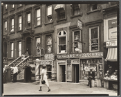
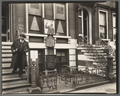
Pingpank Barber Shop, 413 Ble…
m
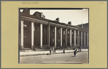
Willow Place, Nos. 43-49
m
Fifth Avenue Bus, Washington …
m
Snuff Shop, 113 Division stre…
m
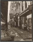
Radio Row, Cortlandt Street
m
Vista from West Street, 115-1…
m
Sumner Healy Antique Shop, 94…
m
Waterfront, From roof of Irvi…
m
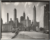
Manhattan Skyline: I, South S…
m
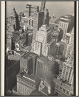
Financial District Rooftops: …
m
Jay Street, No. 115
m
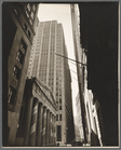
Pine Street: U. S. Treasury i…
m
Harlem Street: II, 422-424 Le…
m
Allen Street, #55-57
m
Charles Lane, Between West an…
m
Talman Street, Between Jay an…
m
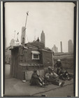
Shelter on the water front
m
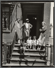
Court of first model tenement…
m
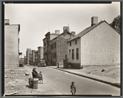
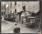
Unemployed and huts, West Hou…
m
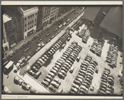
Rockefeller Center Parking Sp…
m
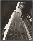
Canyon, Broadway and Exchange…
m
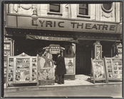
Lyric Theatre, Third Avenue b…
m
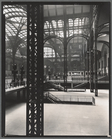
Penn. Station, Interior
m
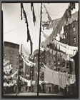
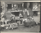
Hester Street, Between Allen …
m
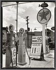
Gasoline station, Tremont Ave…
m
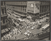
Herald Square, 34th and Broad…
m
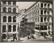
Broadway and Thomas Street
m
Church of God, 25 East 132nd …
m
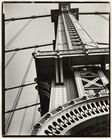
Manhattan Bridge
1
2
3
4
5
6
7
8
9
10
…
283
284
Previous
Next
1
2
3
4
5
6
7
8
9
10
…
283
284
Previous
Next