Click to visit the main New York Public Library Homepage
The New York Public Library
Digital Collections
About Digital Collections
Browse
Search only public domain materials
Items
Collections
Divisions
Home
Search
Browse
About
Search only public domain materials
Items
Collections
Divisions
Digital Collections
Using Images
Using Data
Search
Filtered search
Show filters
Hide filters
Show Only Public Domain
topic
Trees
382
Tourism
339
Forests
307
Redwoods
300
Mountains
243
More
Less
name
Watkins, Carleton E., 1829-1916
586
Soule, John P
271
Muybridge, Eadweard, 1830-1904
133
Lawrence & Houseworth
132
Thomas Houseworth & Co
119
More
Less
collection
Robert N. Dennis collection of stereoscopic views
1838
Photographic views of the United States
191
Maps of North America
33
"The Pageant of America" Collection
29
Yosemite : a collection of views
23
More
Less
place
x
California
Yosemite National Park (Calif.)
760
Yosemite Valley (Calif.)
685
San Francisco (Calif.)
374
United States
203
More
Less
genre
Photographs
2111
Stereographs
1838
Maps
33
Prints
22
Nautical charts
7
More
Less
publisher
E. & H. T. Anthony
68
Kilburn Brothers
61
Taber
19
Photographed and published by Kilburn Brothers
10
publisher not identified
6
More
Less
division
Wallach Division: Photography Collection
1920
Milstein Division
191
Map Division
33
Wallach Division: Picture Collection
13
Wallach Division: Print Collection
5
More
Less
type
still image
2138
cartographic
33
text
1
Date Range
to
2,169 results found
Filtering on:
x
Date
: 1858 - 1879
x
Place
: California
Sort by:
Title
Date created
Date digitized
Sequence
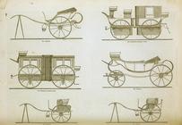
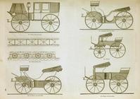
Coaches and carriages
Coaches and carriages
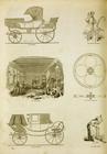
Coaches and carriages, and th…
m
Topographical map of central …
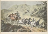
California stage coach: from …
Vernal Fall.
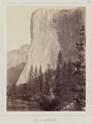
El Capitan.
The Yosemite Falls, from Sent…
A new map of the states of Ca…
Map of the state of Californi…
Map of California : to accomp…
Geological reconnaissances in…
Map of wagon routes in Utah T…
m
State of California
Map of the states of Californ…
Bancroft's map of California,…
Map of public surveys in Cali…
County map of the state of Ca…
Karte von Californien und The…
Esquisse geologique des regio…
Les trois comtés du sud, Sa. …
California, Utah, Lr. Califor…
Yosemite Valley : [Calif.]
Preliminary chart of San Pedr…
m
Map number sixteen : [Berkele…
Map of the San Joaquin, Sacra…
Preliminary chart of Tomales …
Preliminary map of the wester…
Preliminary chart of Drake's …
San Francisco Peninsula
Entrance to San Francisco Bay…
Guide map of the City of San …
San Diego Bay, California
Petaluma and Napa Creeks, Cal…
Bancroft's official guide map…
Railroad map of the City of S…
Railroad map of the City of S…
Reconnaissance of the western…
Reconnaissance of the western…
m
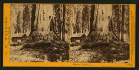
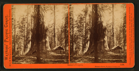
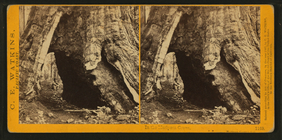
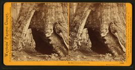
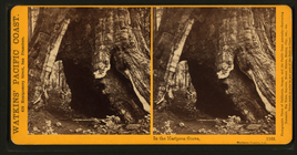
Galen's Hospice, Mariposa Gro…
m
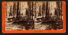
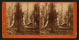
Galen's Hospice, Mariposa Gro…
m
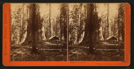
Galen's Hospice, Mariposa Gro…
m
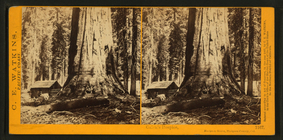
In the Mariposa Grove.
m
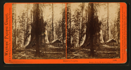
Galen's Hospice, Mariposa Gro…
m
Galen's Hospice, Mariposa Gro…
m
Galen's Hospice, Mariposa Gro…
m
Galen's Hospice, Mariposa Gro…
m
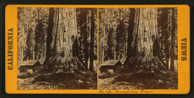
In the Mariposa Grove, Maripo…
m
In the Mariposa Grove, Maripo…
m
In the Mariposa Grove, Maripo…
1
2
3
4
5
6
7
8
9
Previous
Next
1
2
3
4
5
6
7
8
9
Previous
Next