Click to visit the main New York Public Library Homepage
The New York Public Library
Digital Collections
About Digital Collections
Browse
Search only public domain materials
Items
Collections
Divisions
Home
Search
Browse
About
Search only public domain materials
Items
Collections
Divisions
Digital Collections
Using Images
Using Data
Search
Filtered search
Show filters
Hide filters
Show Only Public Domain
topic
Real property
5801
Fire insurance
3589
Cities & towns
3573
Libraries
1032
History
855
More
Less
name
Sanborn Map Company
3568
New York Public Library
996
New York Public Library. Branch Libraries
740
Wurts Bros. (New York, N.Y.)
561
E. & H.T. Anthony (Firm)
326
More
Less
collection
Atlases of New York City
4497
Robert N. Dennis collection of stereoscopic views
2779
Wallach Division Picture Collection
2092
Atlases of the United States
1495
New York Public Library Visual Materials
995
More
Less
place
x
New York (State)
New York
6914
New York (N.Y.)
4021
Manhattan (New York, N.Y.)
1968
United States
719
More
Less
genre
Maps
6475
Photographs
5765
Stereographs
2779
Prints
2281
Atlases
1495
More
Less
publisher
Sanborn Map Company
3568
G.W. Bromley & Co
232
E. Robinson Co
209
Detroit Publishing Company
199
F. W. Beers & Co
148
More
Less
division
Map Division
6562
Wallach Division: Photography Collection
3271
Milstein Division
1585
Wallach Division: Picture Collection
1215
NYPL Archives
957
More
Less
type
still image
9118
cartographic
6554
text
389
notated music
20
Date Range
to
15,966 results found
Filtering on:
x
Date
: 1859 - 1899
x
Place
: New York (State)
Sort by:
Title
Date created
Date digitized
Sequence
Results 1501 - 1550
m
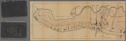
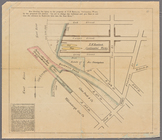
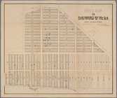
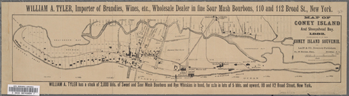
Map of Coney Island and Sheep…
Taunton's map of Coney Island…
m
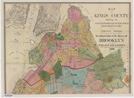
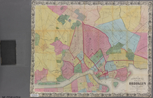
Map of Kings County, includin…
New map of Brooklyn including…
m
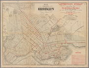
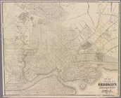
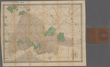
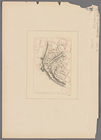
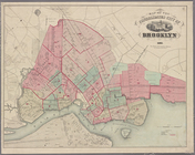
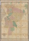
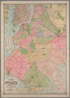
Map of the city of Brooklyn
m
New map of the city of Brookl…
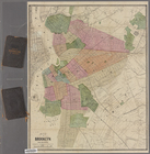
Brooklyn
Map of the city of Brooklyn, …
The New York and Manhattan Be…
New map of the city of Brookl…
m
Map of Kings County: showing …
Plan exhibiting the system of…
m
New map of the city of Brookl…
m
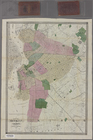
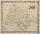
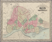
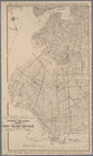
Map of the city of Brooklyn
m
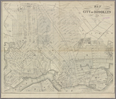
Map of Brooklyn and vicinity
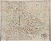
Map of the consolidated city …
Map of the consolidated city …
m
Map of the city of Brooklyn 1…
Map of the consolidated city …
Map of Brooklyn and vicinity
m
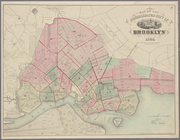
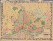
Map of the city of Brooklyn
m
Brooklyn City Hall
m
Fire Department map of the ci…
m
Prospect Park, plaza lots
m
Map showing the injury to the…
m
Watson's new map of the city …
m
Map of Kings County N.Y.
m
Map of Brooklyn and vicinity
m
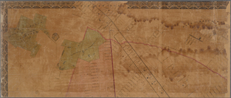
Map of Brooklyn Ferry, in 176…
Map of the county of Kings, s…
m
Map of Brooklyn and vicinity
Map of the consolidated city …
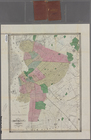
Map of the homestead of the l…
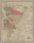
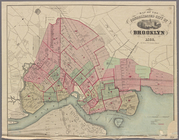
Map of the city of Brooklyn
Map of Brooklyn and vicinity
Map of the consolidated city …
m
Map of Brooklyn and vicinity
Map of the city of Brooklyn, …
Map of the consolidated city …
m
Higginson's plan of the city …
Map of property belonging to …
Index map to Bensonhurst-by-t…
m
Map of the enlarged city of B…
Watson's new map of Brooklyn …
Sectional map of New York, Br…
m
Map and profile of the New Yo…
Map of Coney Island and Sheep…
Map of the Eureka Basin, incl…
New map of Brooklyn and vicin…
Map showing route of proposed…
1
2
…
4
5
6
7
8
9
10
11
…
63
64
Previous
Next
1
2
…
4
5
6
7
8
9
10
11
…
63
64
Previous
Next