Click to visit the main New York Public Library Homepage
The New York Public Library
Digital Collections
About Digital Collections
Browse
Search only public domain materials
Items
Collections
Divisions
Home
Search
Browse
About
Search only public domain materials
Items
Collections
Divisions
Digital Collections
Using Images
Using Data
Search
Filtered search
Show filters
Hide filters
Show Only Public Domain
topic
History
269
Clothing & dress
199
Women
170
Dresses -- United States -- 1860-1869
84
Hats
59
More
Less
name
Lumley, Arthur, approximately 1837-1912
21
Illman Brothers
20
Schell, Francis H., 1834-1909
20
Volck, Adalbert John, 1828-1912
19
Voigt, Lewis Towson
16
More
Less
collection
Wallach Division Picture Collection
358
Sketches for Frank Leslie's Illustrated Newspaper : 138 original drawings of the Civil War by staff artists, 1861-1864
85
Maps of North America
27
Brown Brothers & Company records
12
Miscellaneous American Letters and Papers (MALP)
10
More
Less
place
x
United States
1864
44
1863
42
Virginia
28
New York (State)
15
More
Less
genre
Prints
322
Illustrations
89
Drawings
84
Sketches
84
Maps
32
More
Less
publisher
U.S. Coast Survey Office
4
Carleton
3
Corps of Topographical Engineers
2
H.H. Lloyd & Co
2
J.H. Colton
2
More
Less
division
Wallach Division: Picture Collection
349
Wallach Division: Print Collection
90
Map Division
30
Manuscripts and Archives Division
19
Schomburg Manuscripts, Archives and Rare Books Division
19
More
Less
type
still image
469
text
37
cartographic
31
Date Range
to
531 results found
Filtering on:
x
Date
: 1863 - 1864
x
Place
: United States
Sort by:
Title
Date created
Date digitized
Sequence
Front of school with people s…
Lunsford Lane
"The metropolitan sanitary fa…
Schedule for property destroy…
m
View of the Capitol, Washingt…
Board of Supervisors Minutes,…
m
Acceptances: 1861-1864
m
Acceptances: 1863-1864
m
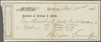
Receipt to Ticknor and Fields…
Eminent opponents of the slav…
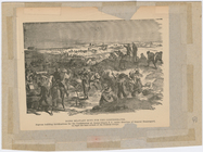
Rebels preparing to bombard F…
m
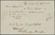
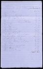
Receipts, two, signed by RWE,…
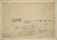
Castle Picnkey, Charleston Ha…
Slaves building Confederate A…
Colton's new railroad & count…
m
Lloyd's new county map of the…
Johnson's United States
Der amerikanische Continent: …
Map of the Southern States, i…
Perrine's new topographical w…
Colton's new topographical ma…
Military map of part of Louis…
Map of the Battlefield of Ant…
Map of the battlefield of Ant…
Map of the Battlefield of Ant…
Plan of Gettysburg with the b…
The army map of Georgia
New map of Charleston Harbor:…
Ceded part of Dakota Territor…
Map of eastern Virginia : com…
Military map of south-eastern…
Military map of south-eastern…
Military map refering to the …
[Maps of the Washington Aqued…
Map no. 12, Port Hudson and v…
Profiles of enemy's works, Po…
Additions & corrections for t…
Map of the battle field of Ge…
Battle of Rappahannock Statio…
Map of field of occupation of…
Map of field of occupation, A…
m
Lloyd's Topographical map of …
m
Lloyd's topographical map of …
Recruitment brochure and ad f…
m
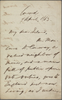
Ireland, A[lexander], ALS to.…
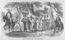
The coffle gang. (see page 16…
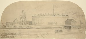
Fort Pinckney
m
Gold - Cash
m
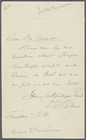
Holmes, Oliver Wendell, ALS t…
The Bird of Freedom and the B…
1
2
3
Previous
Next
1
2
3
Previous
Next