Click to visit the main New York Public Library Homepage
The New York Public Library
Digital Collections
About Digital Collections
Browse
Search only public domain materials
Items
Collections
Divisions
Home
Search
Browse
About
Search only public domain materials
Items
Collections
Divisions
Digital Collections
Using Images
Using Data
Search
Filtered search
Show filters
Hide filters
Show Only Public Domain
topic
Railroads
8
Administrative and political divisions
7
Ferries
6
Landowners
5
Canals
4
More
Less
name
A. Brown & Co
3
Dripps, M. (Matthew)
3
G.W. & C.B. Colton & Co
3
McCloskey, Henry
3
Cooper, H. P. (Henry Poolly)
1
More
Less
collection
x
Maps of New York City and State
place
x
New York
New York (State)
13
Brooklyn (New York, N.Y.)
9
Brooklyn
5
New York (N.Y.)
4
More
Less
genre
Maps
13
Manuscript maps
1
publisher
A. Brown & Co
3
M. Dripps
3
G.W. & C.B. Colton
2
Egbert L. Viele
1
G.W. & C.B. Colton & Co
1
More
Less
division
Map Division
12
Manuscripts and Archives Division
1
type
cartographic
13
Date Range
to
13 results found
Filtering on:
x
Date
: 1864 - 1866
x
Place
: New York
x
Collection
: Maps of New York City and State
For more collection details, visit the
Maps of New York City and State collection page
.
Sort by:
Title
Date created
Date digitized
Sequence
New-York and vicinity as prop…
m
Sanitary & topographical map …
m
Map of Staten Island, Richmon…
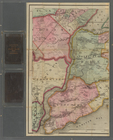
New York and vicinity
G. Woolworth Colton's new map…
G. Woolworth Colton's new map…
m
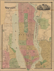
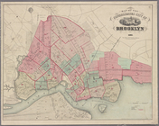
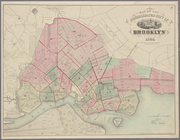
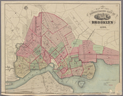
Map of the city of Brooklyn
m
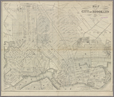
Map of Brooklyn and vicinity
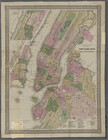
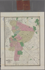
Map of the consolidated city …
Map of the consolidated city …
m
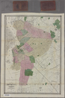
Map of Brooklyn and vicinity
Map of the consolidated city …
m
Higginson's plan of the city …
End of results
|
Top