Click to visit the main New York Public Library Homepage
The New York Public Library
Digital Collections
About Digital Collections
Browse
Search only public domain materials
Items
Collections
Divisions
Home
Search
Browse
About
Search only public domain materials
Items
Collections
Divisions
Digital Collections
Using Images
Using Data
Search
Filtered search
Show filters
Hide filters
Show Only Public Domain
topic
Description and travel
2
Blacks
1
Enslaved persons
1
Maps
1
Slave trade
1
More
Less
name
Faidherbe, Louis Léon César, 1818-1889
4
Royal Geographical Society (Great Britain)
2
Swanston, George H
2
A. Fullarton & Co
1
Cartography Associates
1
More
Less
collection
Le Sénégal; la France dans l'Afrique occidentale: ouvrage contenant 18 gravures d'après les dessins de Riou, 3 gravures de Thiriat d'après des photographies et 5 cartes ou plans
4
A map showing the routes of some native caravans from the coast to the interior of Eastern Africa, from information collected by the Rev. T. Wakefield ... also of two personal journeys to the Southern Galla country made by the Rev. Wakefield & C. New in 1865 and 1866-7
1
Countries in the northern tropical regions of Africa
1
Four thousand miles of African travel: a personal record of a journey up the Nile and through the Soudan to the confines of Central Africa, embracing a discussion on the sources of the Nile, and an examination of the slave trade
1
Kiunangi : or, Story and history from Central Africa
1
More
Less
place
Senegal
5
Africa
2
Dakar (Senegal : Region)
2
Mali
2
Maps
2
More
Less
genre
Maps
13
Illustrations
6
Prints
2
publisher
Hachette et cie
4
A. Fullarton & Co
1
A. von Steinwehr
1
Baker, Pratt & Co
1
G. Bell
1
More
Less
division
x
Schomburg Jean Blackwell Hutson Research and Reference Division
type
x
cartographic
Date Range
to
17 results found
Filtering on:
x
Date
: 1867 - 1889
x
Division
: Schomburg Jean Blackwell Hutson Research and Reference Division
x
Type
: cartographic
Sort by:
Title
Date created
Date digitized
Sequence
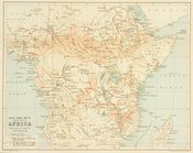
Slave trade map of equatorial…
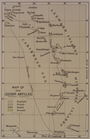
Map of the Lesser Antilles
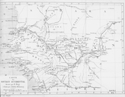
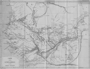
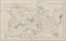
Carte du Soudan Occidental dr…
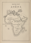
Sketch map of Africa
Carte de la Sénégambie et du …
Carte du Soudan occidental.
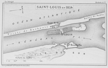
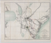
Saint - Louis en 1854
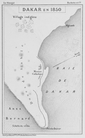
Dakar en 1850
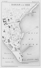
Dakar en 1888
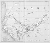
Countries in the northern tro…
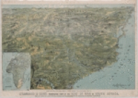
Stannard and Son's perspectiv…
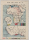
The Graphic map of European p…
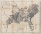
Map showing the distribution …
A map showing the routes of s…
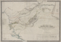
Map of part of Central Africa…
Map of part of the western co…
Upper Nubia and Abyssinia
End of results
|
Top