Click to visit the main New York Public Library Homepage
The New York Public Library
Digital Collections
About Digital Collections
Browse
Search only public domain materials
Items
Collections
Divisions
Home
Search
Browse
About
Search only public domain materials
Items
Collections
Divisions
Digital Collections
Using Images
Using Data
Search
Filtered search
Show filters
Hide filters
Show Only Public Domain
topic
History
9
War of 1812
5
Administrative and political divisions
3
Butterflies
2
Landowners
2
More
Less
name
Lossing, Benson John, 1813-1891
5
Faidherbe, Louis Léon César, 1818-1889
4
Batiushkov, P. N. (Pompeĭ Nikolaevich) (1811-1892)
3
Centennial Exhibition (1876 : Philadelphia, Pa.)
2
Mitchell Map Co
2
More
Less
collection
Maps of North America
11
The pictorial field-book of the War of 1812; or, Illustrations, by pen and pencil, of the history, biography, scenery, relics, and traditions of the last war for American independence
5
Le Sénégal; la France dans l'Afrique occidentale: ouvrage contenant 18 gravures d'après les dessins de Riou, 3 gravures de Thiriat d'après des photographies et 5 cartes ou plans
4
Pamiatniki stariny v zapadnykh guberniakh imperii
3
Picturesque Palestine, Sinai and Egypt
2
More
Less
place
United States
6
Pennsylvania
4
Philadelphia
4
Philadelphia (Pa.)
4
Senegal
4
More
Less
genre
x
Illustrations
Maps
28
Prints
10
Tourist maps
2
Atlases
1
More
Less
publisher
Harper & Brothers
6
Hachette et cie
4
Izd. Ministerstvom vnutrennikh del
3
D. Appleton
2
Mitchell Map Co
2
More
Less
division
Map Division
13
Rare Book Division
8
Schomburg Jean Blackwell Hutson Research and Reference Division
6
General Research Division
5
Dorot Jewish Division
3
More
Less
type
x
cartographic
still image
16
text
6
Date Range
to
36 results found
Filtering on:
x
Date
: 1867 - 1889
x
Genre
: Illustrations
x
Type
: cartographic
Sort by:
Title
Date created
Date digitized
Sequence
Ethnological Chart of the Wor…
Siege of Fort Meigs
Detroit River and vicinity
Plan of the Tippecanoe camp a…
Plan of the Battle of Fallen …
Battle of the Thames
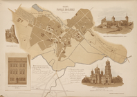
Plan of the city of Philadelp…
New and improved map of the c…
Our centennial--plan of the g…
m
Florance, George N
Plan of the city of Philadelp…
Map of the city of Cleveland,…
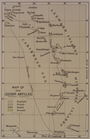
Map of the Lesser Antilles
m
Map of Multnomah County, Oreg…
Colton's map of Oregon & Wash…
m
City of Houston, Harris Co., …
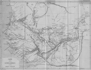
Carte de la Sénégambie et du …
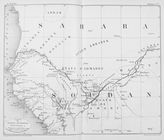
Carte du Soudan occidental.
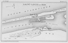
Saint - Louis en 1854
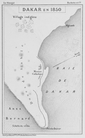
Dakar en 1850
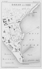
Dakar en 1888
m
Map number sixteen : [Berkele…
m
Map of the Yellowstone Nation…
Octagonal map of the environs…
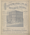
New Illustrated Atlas of Dutc…
Itinéraire, de Karak a Chauba…
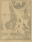
A map of Palestine
A map of Egypt and Sinai
Assyrie. Archéologique et mod…
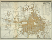
Plano general de la ciudad de…
Plan goroda Vil’ny pervoi pol…
Plan goroda Liublina.
Gorod Kholm v XVII v. S gravi…
Novyi plan Anzerskago ostrova…
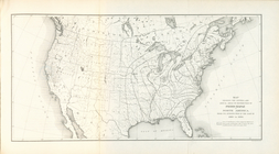
Map showing the progressive d…
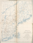
Physical Map of New England.
End of results
|
Top