Click to visit the main New York Public Library Homepage
The New York Public Library
Digital Collections
About Digital Collections
Browse
Search only public domain materials
Items
Collections
Divisions
Home
Search
Browse
About
Search only public domain materials
Items
Collections
Divisions
Digital Collections
Using Images
Using Data
Search
Filtered search
Show filters
Hide filters
Show Only Public Domain
topic
Administrative and political divisions
135
Railroads
129
Real property
84
Landowners
77
Local transit
42
More
Less
name
G.W. & C.B. Colton & Co
20
Dripps, M. (Matthew)
17
Watson, Gaylord
17
J.B. Beers & Co
14
G.W. & C.B. Colton & Co
13
More
Less
collection
x
Maps of New York City and State
place
New York (State)
402
New York (N.Y.)
147
Manhattan (New York, N.Y.)
116
New York
102
Brooklyn (New York, N.Y.)
85
More
Less
genre
Maps
477
Cadastral maps
61
Manuscript maps
28
Topographic maps
9
Tourist maps
9
More
Less
publisher
publisher not identified
39
G.W. & C.B. Colton & Co
17
J.B. Beers & Co
14
M. Dripps
12
Gaylord Watson
8
More
Less
division
Map Division
479
type
x
cartographic
text
6
still image
2
Date Range
to
479 results found
Filtering on:
x
Date
: 1867 - 1889
x
Collection
: a1a9d830-c5a6-012f-00ec-58d385a7bc34
x
Type
: cartographic
Sort by:
Title
Date created
Date digitized
Sequence
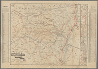
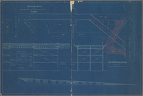
Map of lots situated in the c…
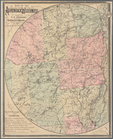
Map of New York City
m
Map of upper New York City an…
Map of Shelter Island showin…
Plan of the Country Club Land…
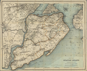
Map of Staten Island, Richmon…
Bay and harbor of New York
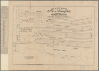
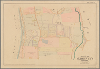
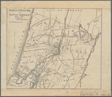
Part of Wards 3 & 4, Yonkers
Map of the City of New York :…
Map of New York City
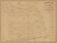
Norwood in the 24th ward of t…
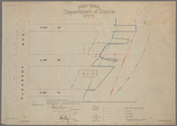
Aqueduct Commissioners topogr…
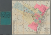
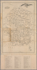
City of Albany, New York: fro…
Index map to Bensonhurst-by-t…
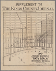
Map of sewer district of Bath…
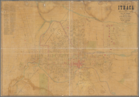
Map of City of Ithaca, N.Y.: …
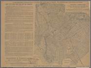
Map of New York City showing …
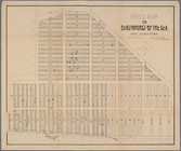
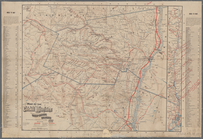
Map of New York City above 11…
m
Rand, McNally & Co.'s map of …
1889, Larchmont Harbor, N.Y.:…
Map of property belonging to …
Rochelle Park, New-Rochelle, …
Map of part of Town of Fishki…
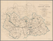
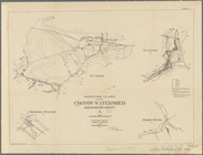
Plate I. Map of the watershed…
m
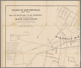
Village of New-Rochelle, New-…
Rand, McNally & Co.'s New York
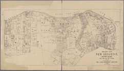
Map of New Brighton, Staten I…
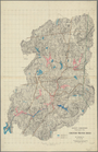
Map of the Adirondack wildern…
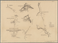
Plate II. Sketches of village…
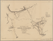
Plate III : Sketches of villa…
Plate IV. Sketches of village…
Map of the Catskill Mountains…
Historical sketch map of King…
m
Beers' new map of Staten Isla…
Map of the Catskill Mountains…
Green-Wood Cemetery, 1887
General plan for the improvem…
Sketch of the triangulation o…
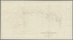
Map of the route of the new C…
m
Colton's street map of the Ci…
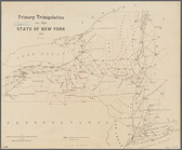
Primary triangulation in the …
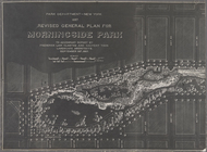
Revised general plan for Morn…
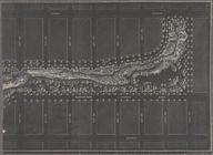
101st St. & 102nd St. and the…
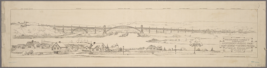
Proposed viaduct "continuing"…
Proposed iron viaduct from Sa…
Map of part of New York City …
m
Map of the city of Brooklyn ;…
N.Y State Survey: triangulati…
Sketch of the triangulation o…
Map of the manors erected wit…
1
2
Previous
Next
1
2
Previous
Next